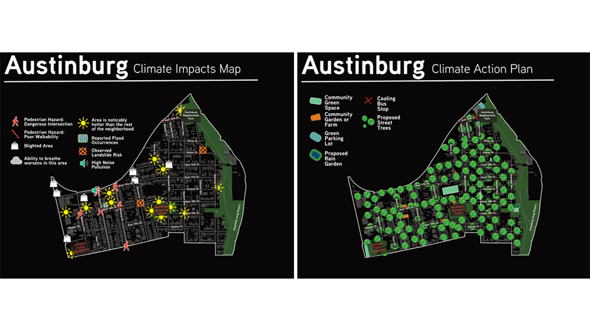
Data dashboards assist in understanding a community’s vulnerability to climate impacts, but input from the communities themselves helps identify and support actionable solutions.
Kentucky
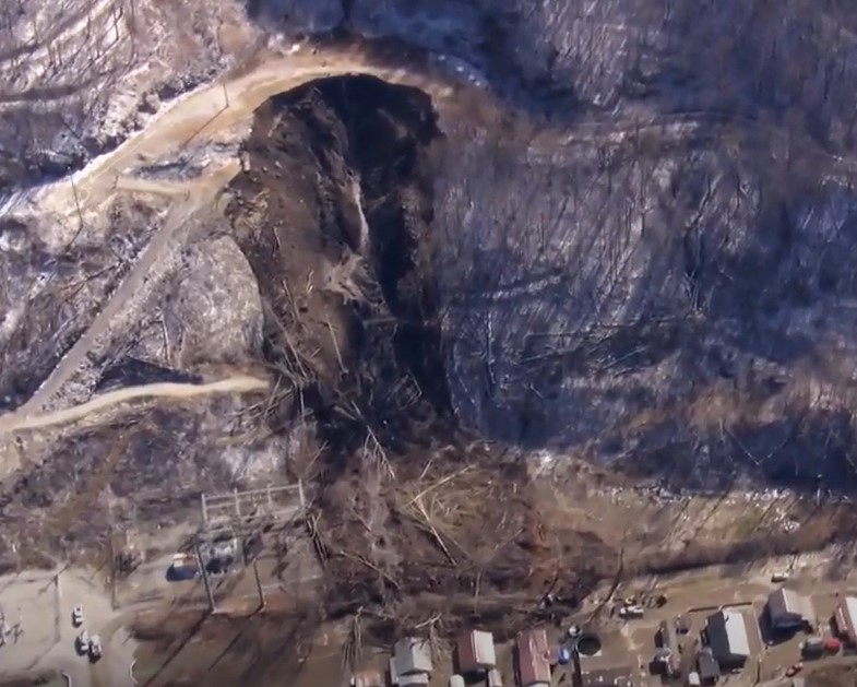
The 17 February 2025 landslide at Fleming-Neon in Kentucky
The Landslide Blog is written by Dave Petley, who is widely recognized as a world leader in the study and management of landslides. Being based in the UK, it is hard to keep track of the news from the US at the moment, but I watch with horror as the capability of science agencies (e.g. […]
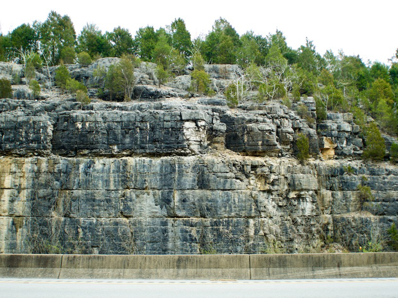
Detailed Geologic Mapping Helps Identify Health Hazards
A team of geologists and nursing researchers created an interactive radon hazard map for Kentucky residents—and it was possible only because of the high-resolution bedrock mapping in the state.
Ciertas formaciones rocosas pueden provocar riesgos de radón en los hogares
Investigadores de Kentucky han combinado resultados de kits de pruebas domésticas con el mapa geológico del estado para elaborar un mapa del potencial de radón en interiores basado en la geología subyacente a las viviendas del estado.
Certain Rock Formations Can Lead to In-Home Radon Risks
Researchers in Kentucky have merged results from home test kits with the state’s geologic map to produce a map of indoor radon potential based on the geology underlying homes in the state.
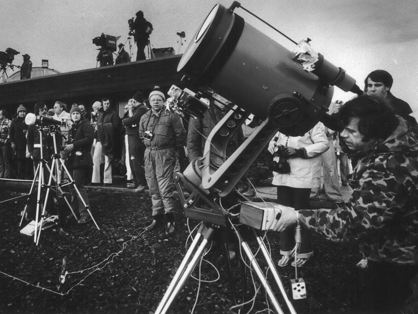
Small Towns Brace for Historic Eclipse Crowds
Some towns have known for a decade to prepare; others learned as little as a year ago about the event and what it might bring to their locale.


