• About
  • Special Reports
  • Topics
    • Climate
    • Earth Science
    • Oceans
    • Space & Planets
    • Health & Ecosystems
    • Culture & Policy
    • Education & Careers
    • Opinions
  • Projects
    • Postcards From the Field
    • ENGAGE
    • Editors’ Highlights
    • Editors’ Vox
    • Eos en Español
    • Eos 简体中文版
    • Print Archive: 2015–2025
  • Policy Tracker
  • Blogs
    • Research & Developments
    • The Landslide Blog
  • Newsletter
  • Submit to Eos
  • AGU.org
  • Career Center
  • Join AGU
  • Give to AGU
  • About
  • Special Reports
  • Topics
    • Climate
    • Earth Science
    • Oceans
    • Space & Planets
    • Health & Ecosystems
    • Culture & Policy
    • Education & Careers
    • Opinions
  • Projects
    • Postcards From the Field
    • ENGAGE
    • Editors’ Highlights
    • Editors’ Vox
    • Eos en Español
    • Eos 简体中文版
    • Print Archive: 2015–2025
  • Policy Tracker
  • Blogs
    • Research & Developments
    • The Landslide Blog
  • Newsletter
  • Submit to Eos
Skip to content
  • AGU.org
  • Career Center
  • Join AGU
  • Give to AGU
Eos

Eos

Science News by AGU

Support Eos
Sign Up for Newsletter
  • About
  • Special Reports
  • Topics
    • Climate
    • Earth Science
    • Oceans
    • Space & Planets
    • Health & Ecosystems
    • Culture & Policy
    • Education & Careers
    • Opinions
  • Projects
    • Postcards From the Field
    • ENGAGE
    • Editors’ Highlights
    • Editors’ Vox
    • Eos en Español
    • Eos 简体中文版
    • Print Archive: 2015–2025
  • Policy Tracker
  • Blogs
    • Research & Developments
    • The Landslide Blog
  • Newsletter
  • Submit to Eos

landscape & topography

Posted inEditors' Highlights

What Caused the Open Habitat Transition in the West-Central U.S.?

by Susan Trumbore 10 March 202212 April 2022

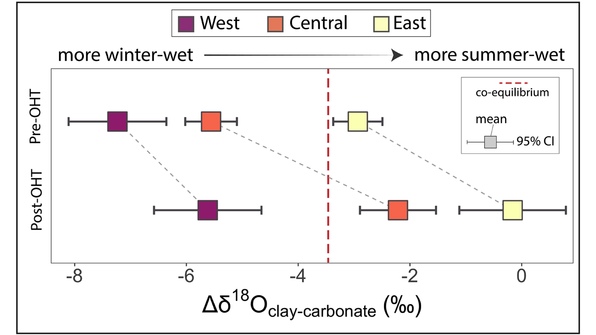
Between 26-15 My ago, forests covering west-central North America gave way to open, grassy habitats. Now, oxygen isotope records suggest this shift is owed to drier winters and increased aridity.
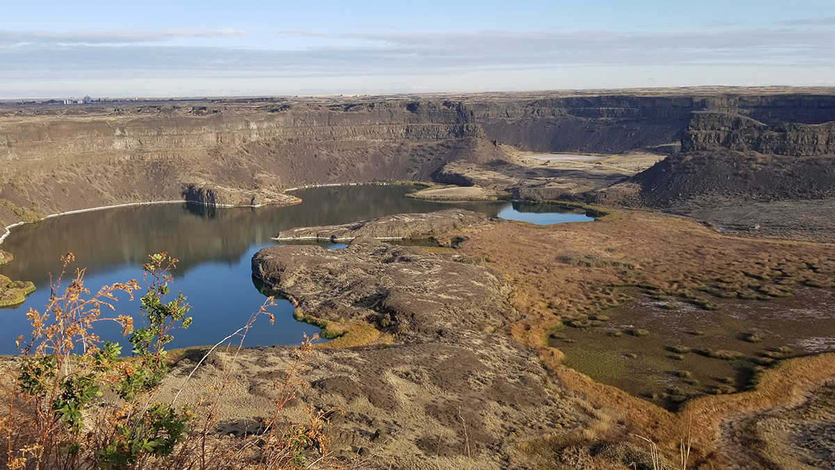
Dry Falls located at the head of Grand Coulee
Posted inResearch Spotlights

Western U.S. “Megafloods” Might Not Have Been So Mega

by Rebecca Dzombak 3 February 20223 February 2022

The flooding that carved eastern Washington State 20,000 to 12,000 years ago could have been 80% smaller than the canyons’ volume today.

A river in southern Siberia flows between rocky banks toward mountains in the distance.
Posted inResearch Spotlights

High Mountain Rain Has Scientists Rethinking River Basics

by David Shultz 27 January 202227 January 2022

Rainfall varies with elevation, and such precipitation gradients can have profound and often counterintuitive effects on topography.
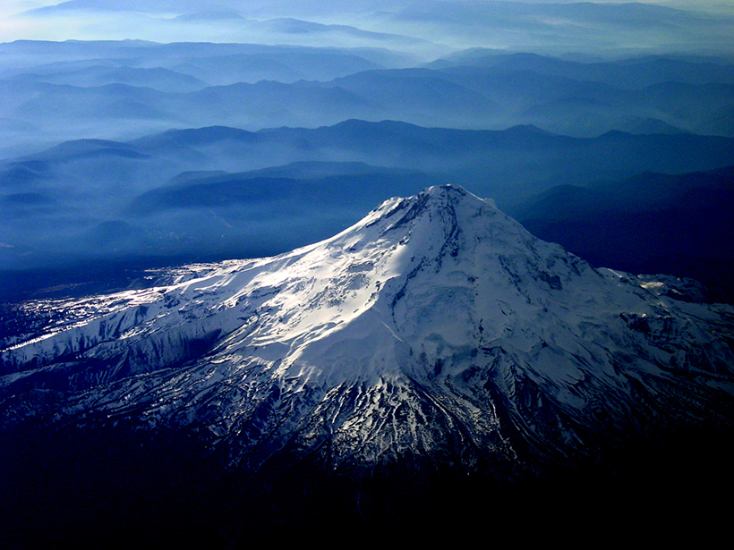
Aerial view of snowcapped Mount Hood with lower-lying mountains and fog in the background
Posted inScience Updates

Making the Most of Volcanic Eruption Responses

by T. P. Fischer, S. C. Moran, K. M. Cooper, D. C. Roman and P. C. LaFemina 31 August 202122 March 2022

Last year, a new collaborative initiative conducted a hypothetical volcano response exercise. A month later, they put the knowledge gained to use during an actual eruption.

Four photographs of Big Cypress National Preserve of South Florida.
Posted inEditors' Highlights

A New Model for Self-Organized Pattern Formation

by Ton Hoitink 1 July 202111 February 2022

Scale-dependent feedbacks in time, rather than in space, result in a new type of competition, explaining the regularly patterned landscape of Big Cypress National Preserve in South Florida.

The restored floodplain of the South Fork McKenzie River in Oregon
Posted inEditors' Vox

Why Rivers Need Their Floodplains

by E. Wohl 22 April 202122 August 2023

Floodplain storage of water, nutrients, and sediment is critical to sustaining river ecosystems but has been reduced by human activities.

Yangtze River
Posted inResearch Spotlights

Researchers Home in on the Age of the Yangtze River

Joshua Learn, Science Writer by Joshua Rapp Learn 10 March 202126 January 2023

Findings on the river’s age also have implications for past landscape change in Asia.

Satellite image of the ice at Mars’s north pole
Posted inResearch Spotlights

Decoding the Age of the Ice at Mars’s North Pole

by David Shultz 4 February 20218 August 2022

Exposure to sunlight creates telltale patterns in the polar ice cap that change over time, potentially providing insight into the climatic history of the Red Planet.

Satellite images of Puerto Rico showing changes to land cover type before and after Hurricane Maria in 2017.
Posted inEditors' Highlights

Devastation of Hurricane Maria to Puerto Rican Landscape

by C. Zhang 1 February 202115 March 2022

The destructive winds and rain of Hurricane Maria in 2017 caused a dramatic transformation to Puerto Rico’s landscape and altered the characteristics of land-air interaction.

Photograph of a river in the Wind River Range, Wyoming
Posted inEditors' Vox

How is Modern Climate Change Affecting Landscape Processes?

by Amy E. East and J. B. Sankey 16 December 202011 February 2022

Landscapes will respond to hydroclimatic changes associated with modern global warming, such as increasing extreme storms and wildfire, but to what extent is physical landscape change already evident?

Posts pagination

Newer posts 1 … 6 7 8 9 10 … 14 Older posts
Over a dark blue-green square appear the words Special Report: The State of the Science 1 Year On.

Features from AGU Publications

Research Spotlights

Tracking 20 Years of Productivity in Tidal Wetlands

7 July 20267 July 2026
Editors' Highlights

The Largest Ice Thickness Survey of Alaska’s Glaciers

7 July 20266 July 2026
Editors' Vox

Small-Scale Indian Ocean Dynamics Underpin Marine Ecology and Climate

4 June 20263 June 2026
Eos logo at left; AGU logo at right

About Eos
ENGAGE
Awards
Contact

Advertise
Submit
Career Center
Sitemap

© 2026 American Geophysical Union. All rights reserved Powered by Newspack