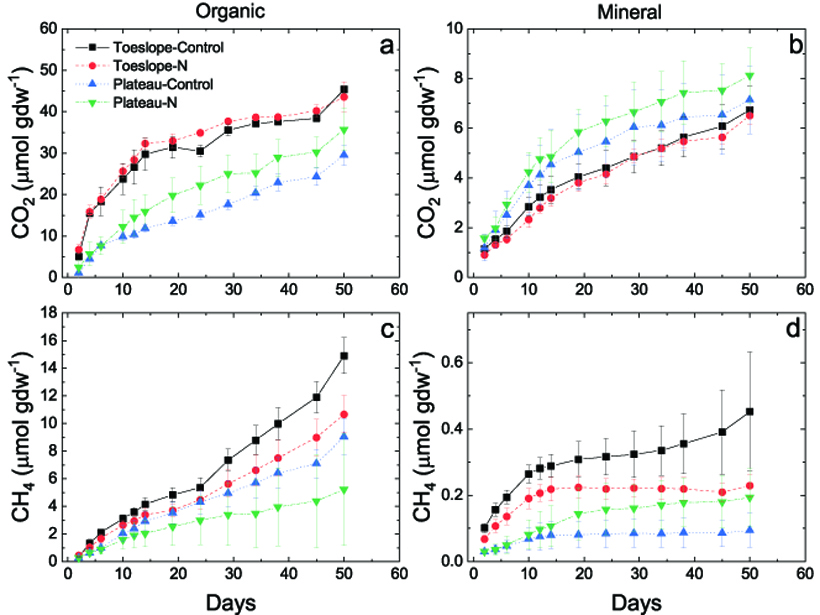
In comparing soils from two tundra wetland landscape positions, landscape position is found to matter, and toeslopes are associated with higher greenhouse gas production.
landscape & topography

Posted inEditors' Highlights
Meteoric 10Be Reveals Lithological Control on Erosion Rates
New meteoric 10Be data quantify fast erosion of slates in the Zhuoshui River catchment in Taiwan and demonstrate the influence of lithology on landscape steepness.

Posted inNews
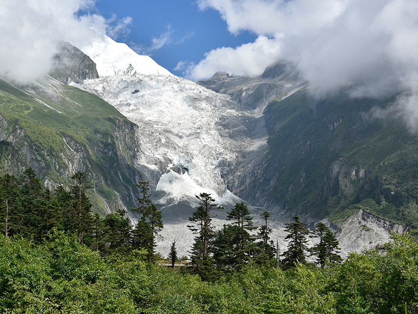
Cold Cuts: Glaciers Sculpt Steep Peaks
In environments raked by glaciers, tall peaks like Denali still survive, held up by surprisingly thin crust.
Posted inNews
Scientists Float a New Theory on the Medusae Fossae Formation
Pumice-like rafts of lightweight material could have carried volcanic debris across an ancient Martian ocean to build one of the most puzzling features on the Red Planet.
Posted inEditors' Vox
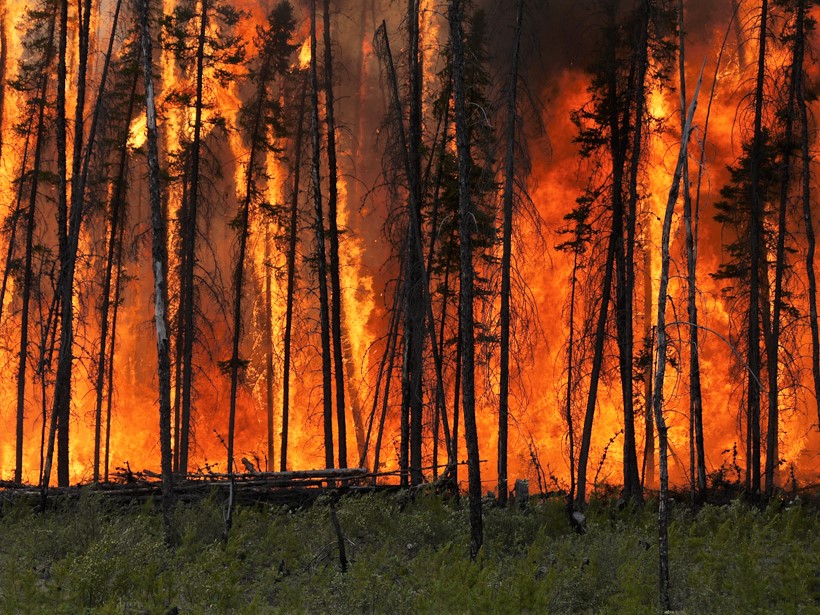
New Special Collection: Fire in the Earth System
Papers are invited for a new cross-journal special collection presenting advances in understanding the physical and biogeochemical processes associated with landscape fires and their impacts.

Posted inNews
The Massive Ice Avalanches of Mars
Ice avalanches may have traveled at speeds of up to 80 meters per second.
Posted inFeatures
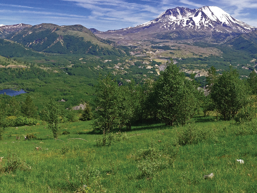
Lessons from a Post-Eruption Landscape
Four decades of research into biophysical responses to the 1980 eruption of Mount St. Helens have vastly improved our understanding of how landscapes react to cataclysmic disturbances.
Posted inNews
The Give and Take of Mercury in Glacial Landscapes
As glacial ice melts, toxic mercury is released into the environment. But a new study shows vegetation may be an effective cleanup crew.

Posted inNews
The Shape of Watersheds
Streams in flatter watersheds have carbon cycles more sensitive to temperature increases.
Posted inNews
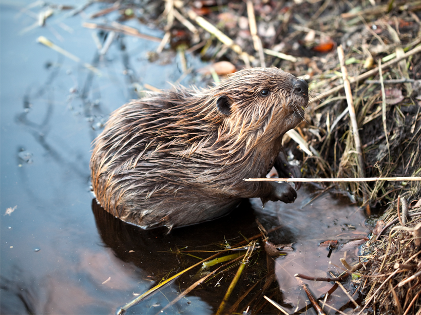
Are Beavers Nature’s “Little Firefighters”?
It’s about dam time: Beavers are acknowledged for their firefighting skills in five recent blazes.