
As low-income, informal settlements bloom in the tropics, their risk of landslides increases. A new modeling tool incorporates urbanization factors to protect the region’s poorest neighborhoods.
landslides
Posted inNews
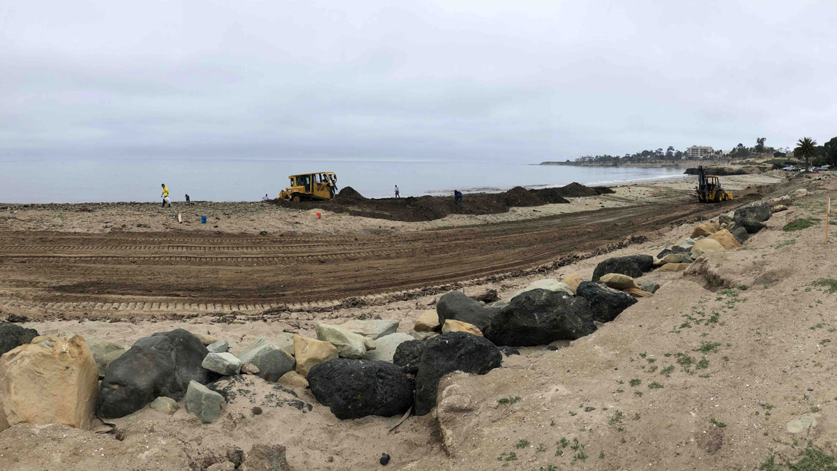
Managing Mudslide Debris After Fires
California officials faced a conundrum in dealing with mudslides after the Thomas Fire.

Posted inNews
New Landslide Reporting Tool Uses Social Media and AI
The tool extracts landslide information in real time, which could advance landslide research as well as disaster response.


Posted inENGAGE, News
River Floods Can Trigger Powerful Underwater Landslides
A record-length turbidity current triggered by river flooding has revealed a new link between the surface and the deep sea.
Posted inResearch Spotlights
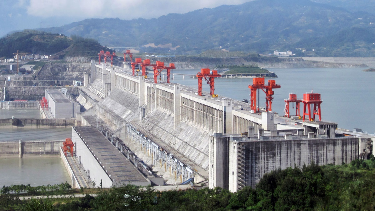
Fiber Optics Open New Frontier for Landslide Monitoring
To study a landslide along China’s Three Gorges Reservoir, researchers deployed underground fiber-optic sensors to monitor temperature, moisture, and strain.

Posted inEditors' Highlights
Growth That Economists Would Envy
A new study reveals how small cracks turn into gigantic submarine slides.

Posted inEditors' Highlights
Volcanic Creation and Destruction of Temporary Tephra Storage
Pyroclastic density currents (PDCs) are a major threat during an explosive volcanic eruption. A new study shows that loose tephra accumulations on volcanic slopes tend to re-mobilize rapidly.

Posted inResearch Spotlights
Steep Mountain Slopes Have Surprisingly Long Lifetimes
New models of eastern Tibetan hillsides show that steep slopes with “excess” rock last longer on average than their shallower counterparts.

Posted inNews
A Community-Led Landslide Prediction System in India
In a first-of-its-kind disaster prevention initiative, a meteorology-based landslide prediction system was developed as a crowdsourced science effort.