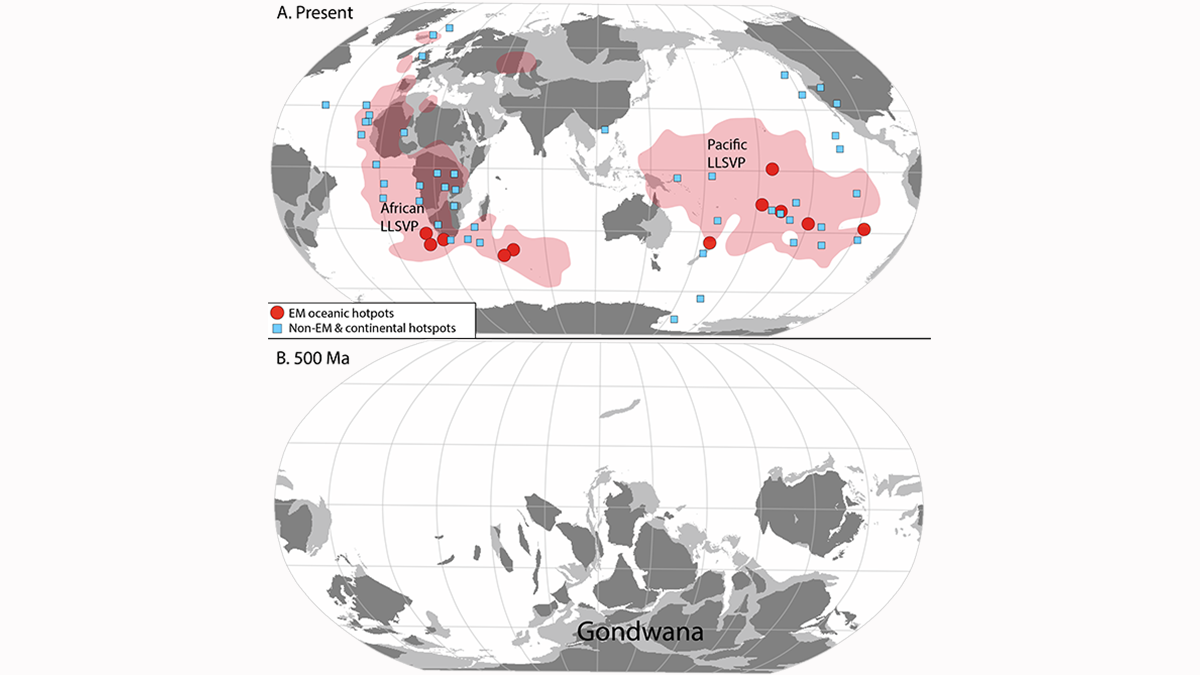
Subduction of continental crust around the Gondwana supercontinent may explain the mantle Dupal anomaly of the southern hemisphere.
plate tectonics

Posted inResearch Spotlights
Europa’s Plate Tectonic Activity Is Unlike Earth’s
The moon of Jupiter has likely experienced intermittent, regional plate tectonic activity in the past, although the plates are currently dormant.


Posted inResearch Spotlights
研究揭示尼泊尔西部喜马拉雅港湾状地形的形成
研究人员通过热运动学研究发现,沿着板块汇聚界面大型逆冲断层在中下部地壳深处的地壳物质堆叠塑造了高原的生长和区域水系的发育。

Posted inNews
Billion-Year Rewind Tracks Supercontinents and Mantle Structures
Scientists have traced past pathways of tectonic plates back a billion years using computer models, with intriguing results. Incorporating geologic data as a check on model output, however, has proven tricky.
Posted inNews
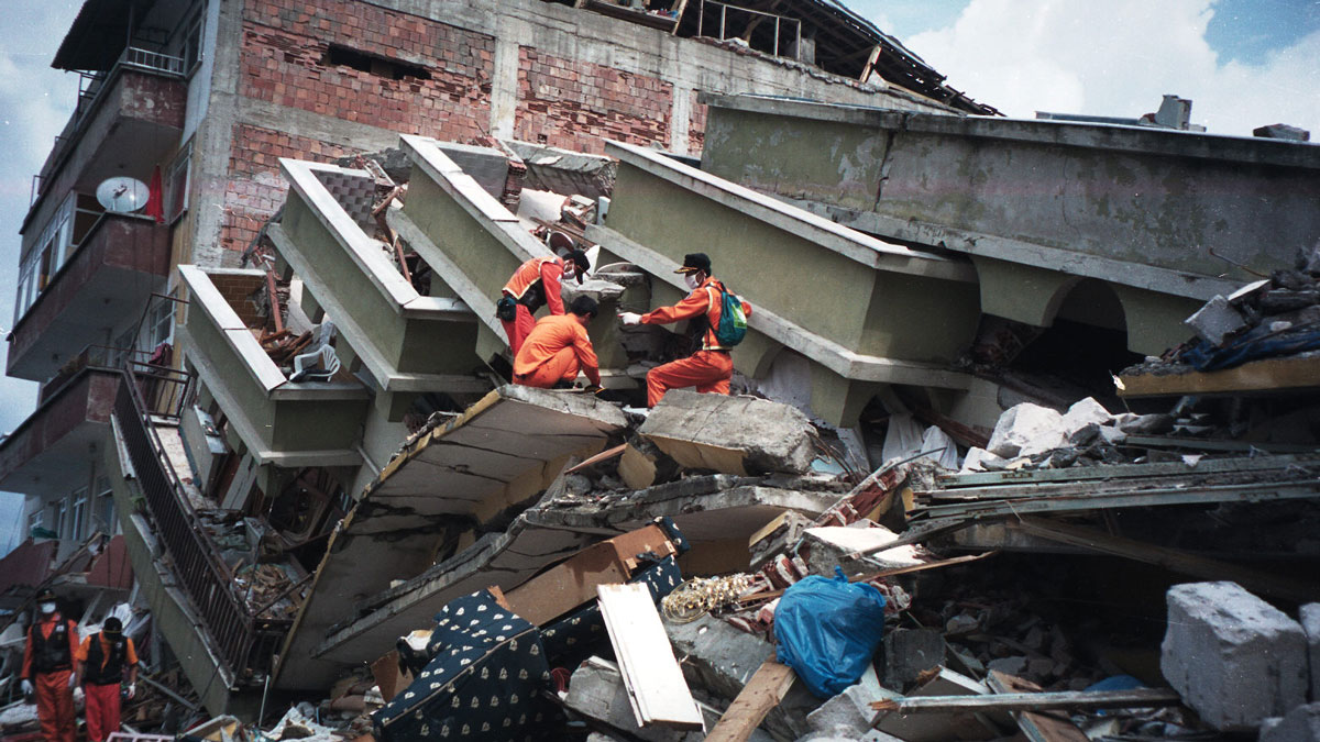
¿Tienen los terremotos y las placas tectónicas una relación bidireccional?
Un terremoto catastrófico en Turquía que sucedió en 1999 cambió el movimiento de la placa de Anatolia, según un estudio que podría modificar los fundamentos de modelamiento de los terremotos.

Posted inFeatures
Seismic Sources in the Aleutian Cradle of Tsunamis
Research over the past decade in Alaska’s Aleutian Islands has offered surprising insights into the pulses of great earthquakes that generate dangerous, often long-distance tsunamis.
Posted inEditors' Vox
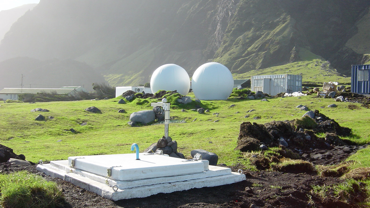
Global Seismic Networks: Recording the Heartbeat of the Earth
Global broadband seismographic networks have provided the science community with 30 years of data which is being used to understand the Earth.

Posted inEditors' Vox
Old Igneous Rocks Hold the Key to Crustal Thickness Evolution
The chemical composition of orogenic igneous rocks and their zircons is sensitive to crustal thickness and can be used to quantify the evolution of Moho depths beneath continents back in time.

Posted inEditors' Highlights
Probing the Sedimentology of a Continental Megathrust
Detailed analysis of sediments covering the Main Frontal Thrust in Nepal show how climate-driven baselevel changes affect sedimentation and should be considered when inferring thrust activity.