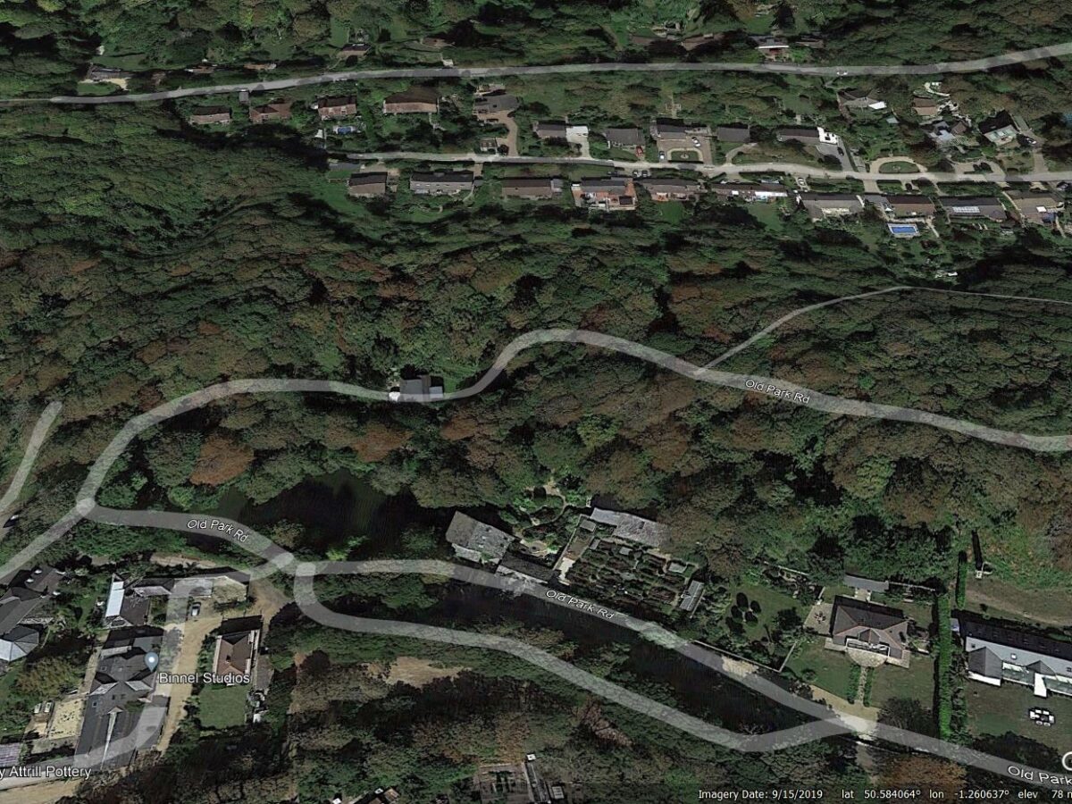
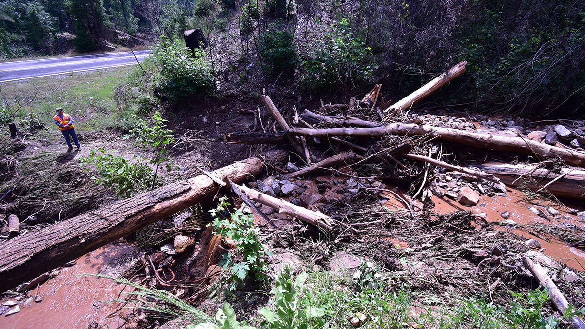
The Landslide Blog is written by Dave Petley, who is widely recognized as a world leader in the study and management of landslides. The extraordinary spell of wet weather continues to have a major impact across the United Kingdom, with landslides occurring in many places. The rail network is being significantly disrupted by earthworks failures, […]
precipitation

Posted inEditors' Vox
Challenges in Measuring Aerosol Cloud-Mediated Radiative Forcing
Satellites are required for the global measurement of aerosol cloud-mediated radiative forcing, but satellite retrievals of aerosols and cloud properties still have challenges to overcome.

Posted inNews
Groundwater Levels Are Dropping Around the World
Well data from around the world show declines driven by water use and climate change.
Posted inResearch Spotlights
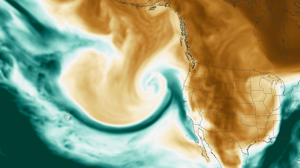
The Escalating Impact of Global Warming on Atmospheric Rivers
Climate change is set to intensify atmospheric rivers and exacerbate extreme rainfall worldwide.
Posted inNews
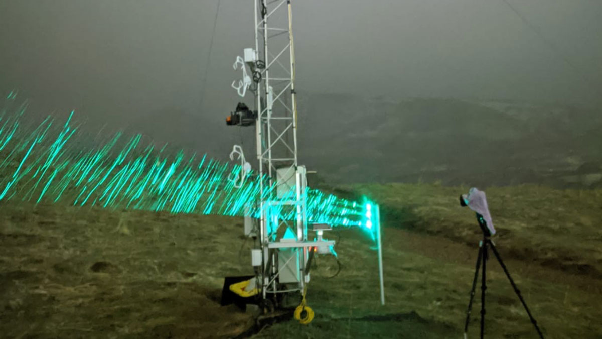
Moving at the Speed of Snow
Snowflakes take many routes from cloud to ground. Large, soft flakes swirl and tumble gently from above. Sharp, painful bits of ice get spit from the sky in a sideways burst. Mushy, wet snow falls in clumps. The ways in which snow travels through the air seem nothing short of complicated. But a new study […]
Posted inEditors' Vox
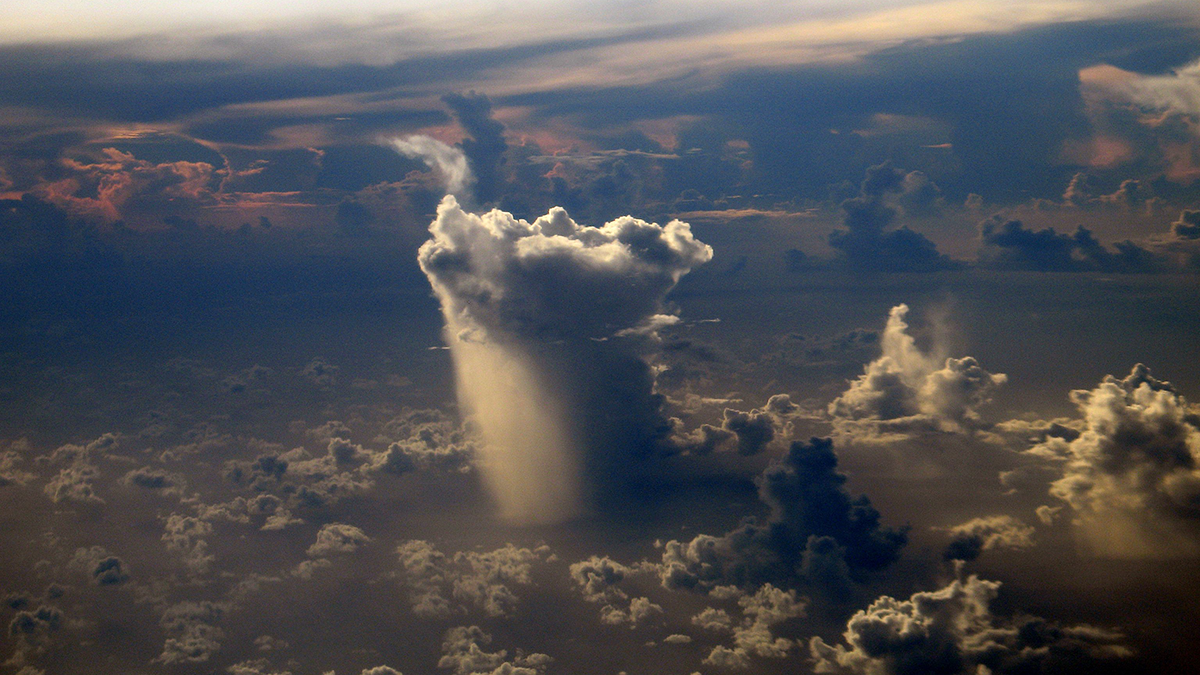
The Complexity of Clouds, Circulation, and Climate
A new book explores the significant influence of clouds on climate via radiation, circulation, and precipitation.
Posted inNews
Postfire Debris Flows Strike in a Puzzling Pattern
California geologists are improving their understanding and forecasting of which slopes in wildfire-burned areas might fail during heavy rainstorms.

Posted inNews
Ostrich Eggshells Trace Namaqualand’s Ancient Rain
The plant-based nitrogen eaten by ostriches and stored in their eggshells was measured by researchers 20,000 years later.

Posted inNews
Weather and Watershed Forecasting Make for Dam Smart Water Use
Using weather forecasts in reservoir management improves decisions about water supplies. Now researchers are studying the hydrology around reservoirs to help apply this strategy nationwide.
Posted inResearch Spotlights
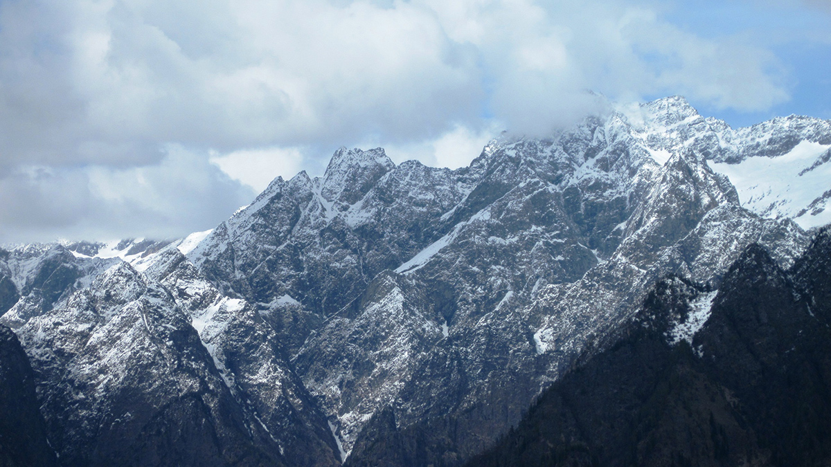
Carbon Dioxide’s Effect on Mountain Climate Systems
Greenhouse gases are rising in the atmosphere. But how will precipitation patterns change as climate systems rise over mountain chains?