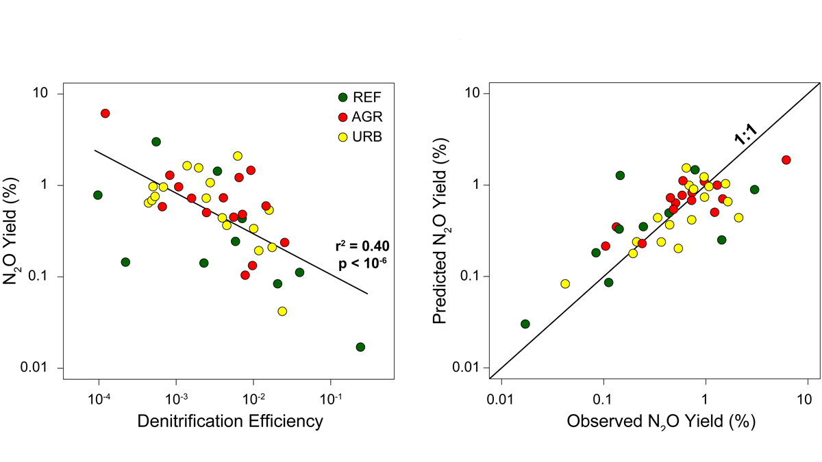
Statistical and numerical models show that denitrification efficiency is a key parameter controlling the production of N2O from rivers, providing a target for river restoration projects.
rivers

Posted inFeatures
The Capital’s Waterways Could Be Swimmable by 2030
Scientists, community groups, and the Clean Water Act are behind Washington, D.C.’s massive project to reduce combined sewer overflows by 96%.
Posted inResearch Spotlights
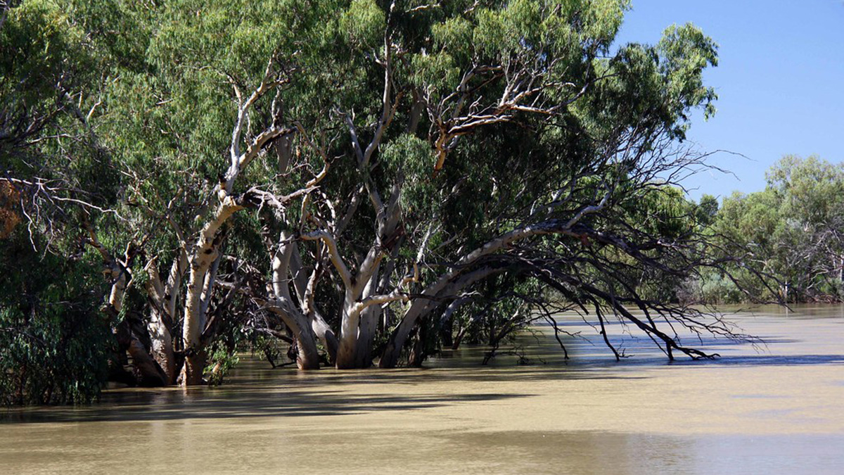
Identifying the World’s Most At-Risk River Basins
Major river basins around the world, including the Amazon, may be hot spots for ecological shifts as the planet warms.
Posted inResearch Spotlights
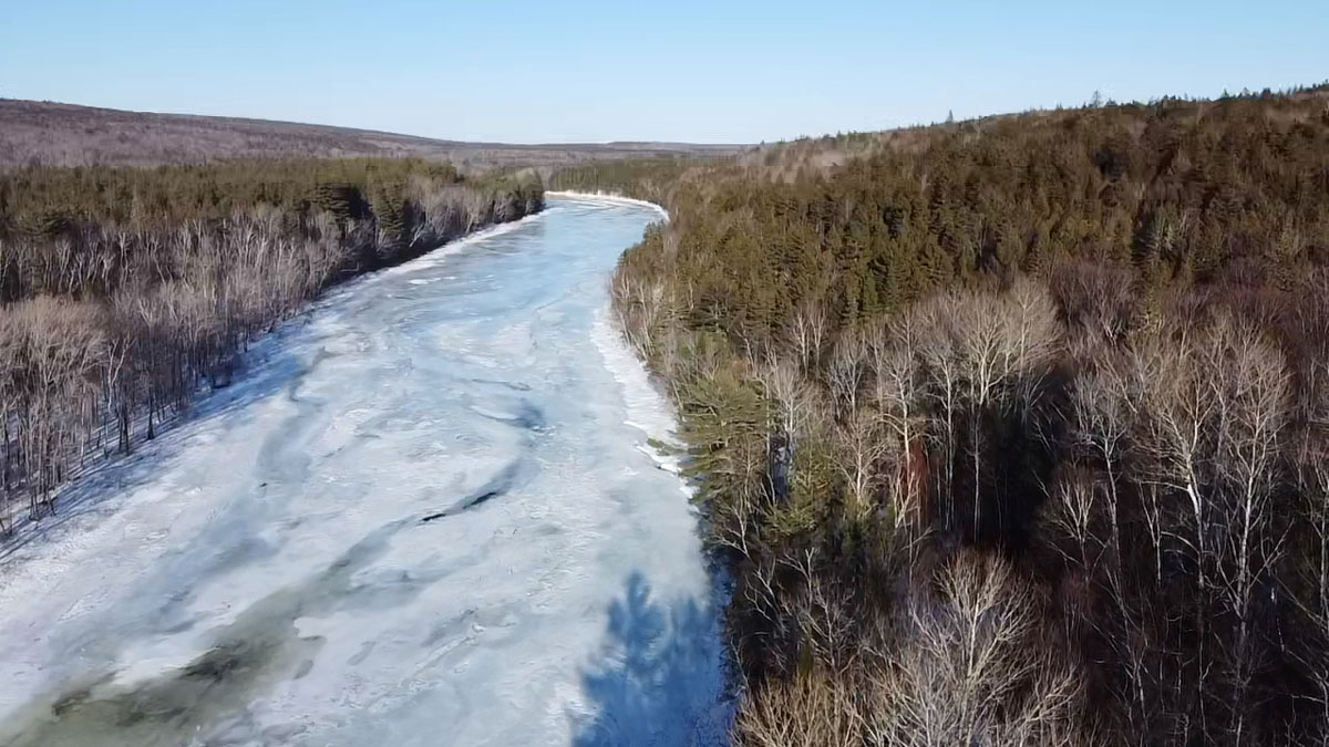
River Ice Can Shape Watershed Ecology
As river ice cover decreases, the physical and biological changes to river ecosystems vary with the watershed characteristics and river size.
Posted inENGAGE, News
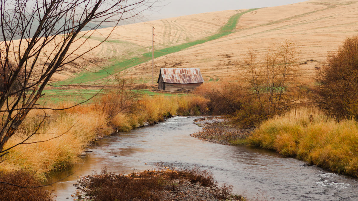
Scientists Call for Policies to Buffer Agricultural Runoff
By reviewing 44 studies, researchers make a scientific case for regulating agricultural pollution of streams and rivers by implementing conservation practices, including riparian buffer zones.

Posted inENGAGE, News
Leaky Pipes Are Dosing Baltimore’s Waterways with Drugs
Poor infrastructure is responsible for tens of thousands of pharmaceutical doses that flow through Baltimore’s streams each year.
Posted inResearch Spotlights
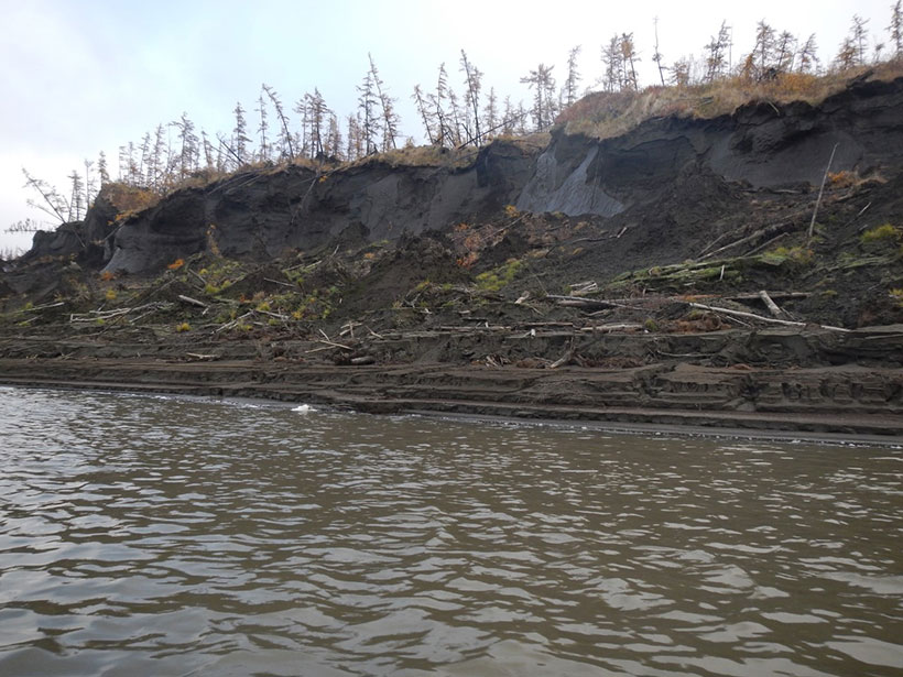
西伯利亚科雷马河的多年冻土碳元素含量极小
新的研究发现,北极河流目前运输的多年冻土来源的溶解有机碳有限,这对理解该地区变化的碳循环及其加速气候变化的潜力具有启示意义。

Posted inScience Updates
Tree Rings Reveal a 700-Year Record of Flooding in Bangladesh
Trees tell of a wetter past along the Brahmaputra River and, combined with climate modeling, suggest heightened future flood risks in one of the world’s most densely populated areas.

Posted inENGAGE, News
New Contamination Concern for Colorado Streams
Abandoned hardrock mines and climate change cause metals and other elements to leach into streams. They also put rare earth elements into the water, a new study finds.
Posted inEditors' Highlights
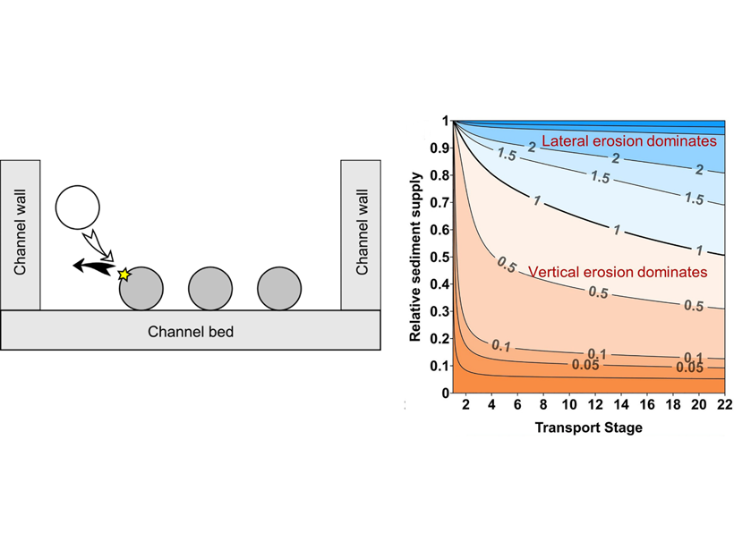
Impacts by Moving Gravel Cause River Channels to Widen or Narrow
A new analytical model describes how the amount and grain size of sediment transported by rivers influences bedrock channel width, which can be used to predict where rivers will widen or narrow.