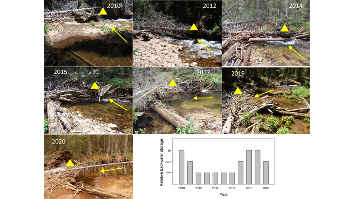
Even though natural logjams in rivers continuously change and maybe short-lived, their effects in terms of geomorphic diversity and habitat can be surprisingly long-lasting.
rivers
Posted inAGU News
Charting Paths to New Knowledge
In our June issue of Eos, we home in on the unique ways researchers are using maps to better understand Earth and beyond.
Posted inResearch Spotlights
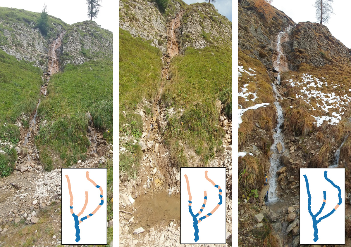
A Probabilistic Model for Classifying Temporary Rivers
The model relies on measurable broad-scale attributes, increasing its flexibility for use in diverse environments.
Posted inEditors' Highlights
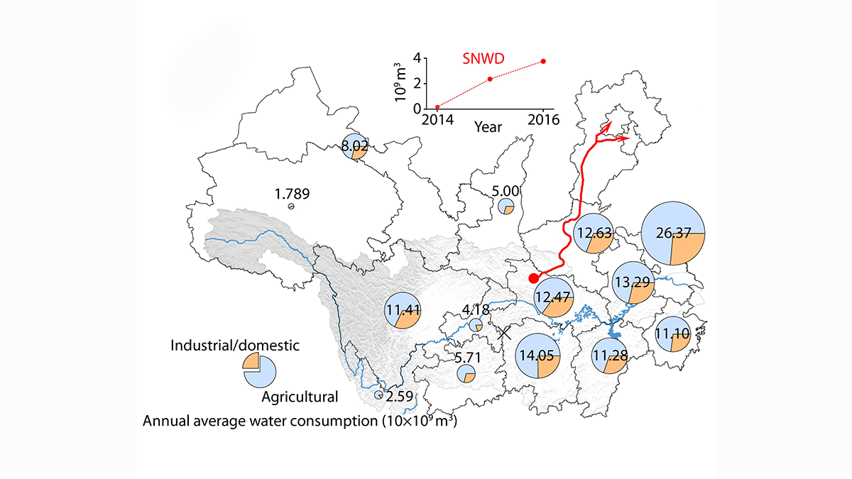
Improved Understanding of Runoff Dynamics in the Yangtze River Basin
Satellite data combined with in-situ observations on terrestrial water storage change and human water consumption provides a more accurate picture of runoff dynamics at sub-basin scale.
Posted inNews
A New Index to Quantify River Fragmentation
Researchers have developed a new analysis based on a river’s catchment area as opposed its length.

Posted inEditors' Highlights
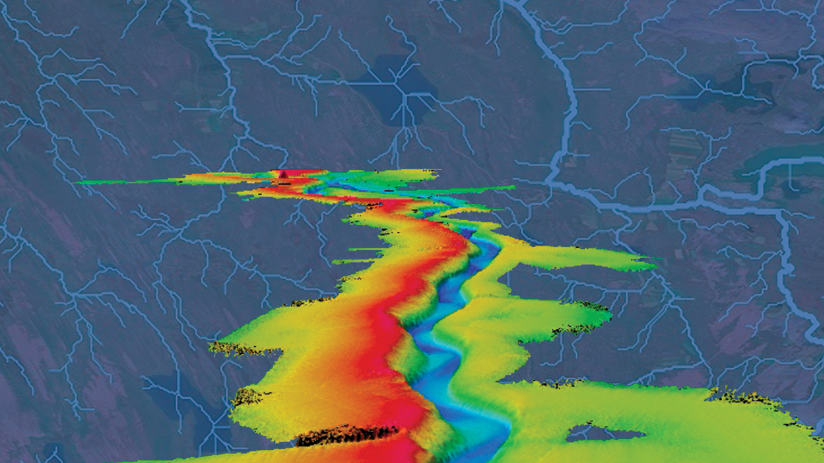
Running Water on Topographic Data to Better Delineate Channels
Two-dimensional hydraulic simulations are a powerful tool to identify process domains such as channels, hillslopes, and floodplains in high-resolution topographic data.

Posted inNews
Endangered Rivers Plagued by Pollution, Climate Change, and Outdated Management
The annual list of America’s Most Endangered Rivers includes practical calls to action to turn the tide on threatened U.S. waterways.

Posted inFeatures
Incredible Journeys on the Crown of the Continent
Living in Geologic Time: The making, breaking, and backpacking of North America’s Continental Divide.

Posted inScience Updates
A Sharper Look at the World’s Rivers and Catchments
Digital hydrographic maps have transformed global environmental studies and resource management. A major database update will provide even clearer and more complete views of Earth’s waterways.
Posted inEditors' Highlights
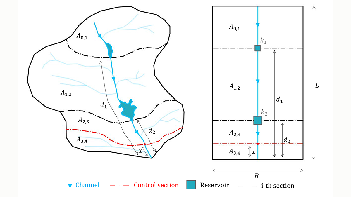
A New Index to Assess Multiple-Reservoir Effects on Peak Floods
A simple, yet quantitative, index is demonstrated to quantify reductions in the peak flood resulting from multiple reservoirs, arranged in series along the same river reach.