
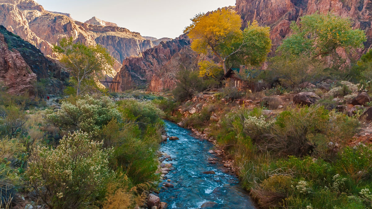
Policymakers, industry and conservation professionals, and tribal members explore pathways to a sustainable future for the millions of people reliant on the “lifeblood of the American West.”
rivers

Posted inNews
Maui Endures More Drought and Drier Streams
Drought continues to threaten Maui’s native land-based and marine ecosystems, water resources, and traditional ways of life. But conservationists have hope—and ways to fight back.

Posted inResearch Spotlights
Missouri River Floodplain Expansion, Services, and Resiliency
Benefits might accrue for both wildlife and climate resiliency if more floodplains along the lower Missouri River were allowed to flood.

Posted inNews
Satellite Images Reveal a New View of Ancient Earth’s Rivers
A new method shows a key relationship between the width and makeup of Earth’s river channels over time. The technique could be applied to other terrestrial bodies, such as Mars.
Posted inResearch Spotlights
Impact of Climate on River Chemistry Across the United States
Findings of a new study have implications for water quality, aquatic ecosystem health, and water treatment and management as the world warms.

Posted inNews
Satellites Show Magnitude of Human Influence on River Sediment Flux
Dam-building has decreased the amount of sediment transported by rivers, while land use changes have increased the amount.
Posted inEditors' Vox
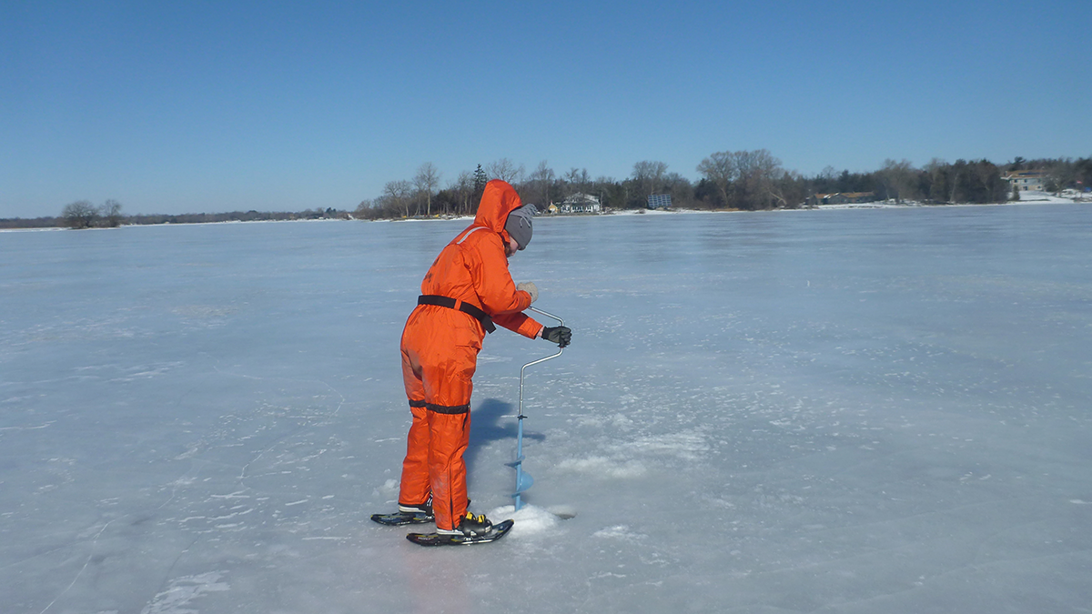
A Future Without Ice Cover
Winter is fading away, but the answers may be beneath the ice; a new collection on winter limnology tackles the unknowns.
Posted inNews
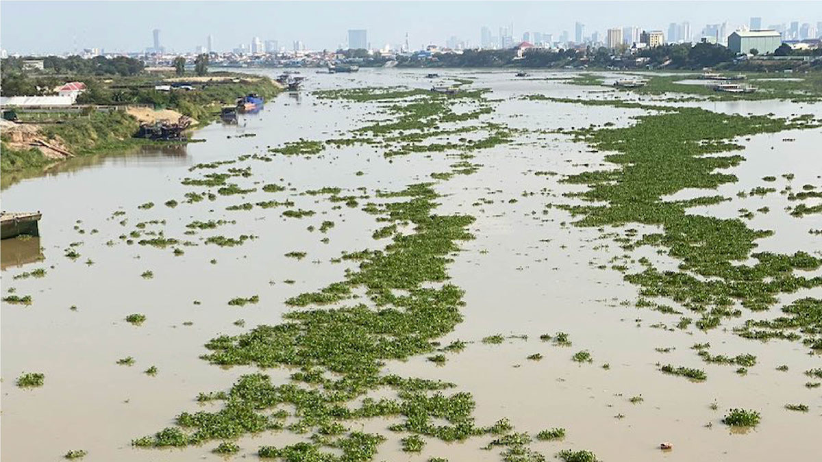
Remote Sensing Tracks Down “Plastic Plants” in Rivers
Researchers are using remote sensing to track floating mats of plastic trapped in water hyacinth plants.

Posted inNews
Why Do Rivers Jump Off the Beaten Path?
Researchers sifted through 50 years of satellite imagery and came up with new clues to where and why rivers avulse, suddenly changing their course.

Posted inResearch Spotlights
Algorithm Detects Thousands of Missing Levees from U.S. Database
An existing levee database accounts for just one fifth of the country’s actual total levee count, limiting the study of how these embankments affect riparian ecosystem health in the United States.