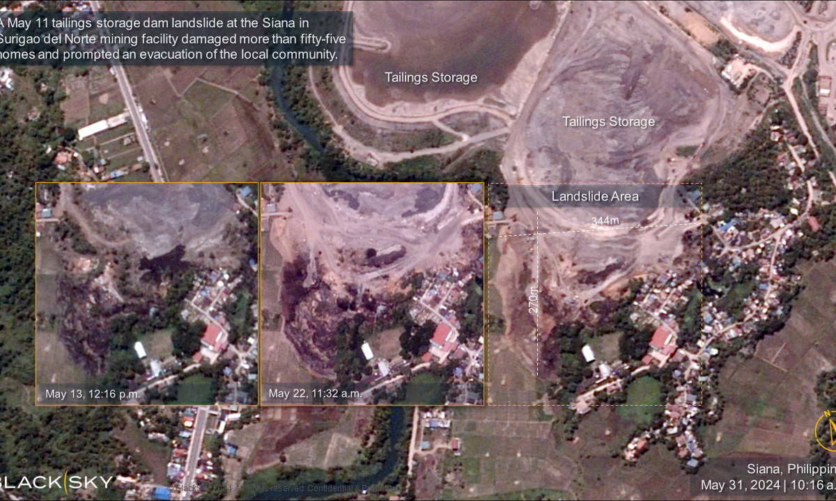
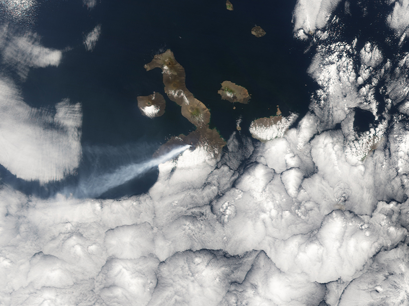
The Landslide Blog is written by Dave Petley, who is widely recognized as a world leader in the study and management of landslides. Just under a month ago, I wrote about the tailings failure at the Siana gold mine in Surigao del Norte, Philippines. Capella Space captured good radar imagery of the site. We now […]
SAR & inSAR
Synthetic Aperture Radar and Interferometric Synthetic Aperture Radar

Posted inNews
Sinking Cities and Rising Waters
Climate-driven sea level rise combines with land subsidence in some of Africa’s fastest-growing cities.
Posted inEditors' Highlights
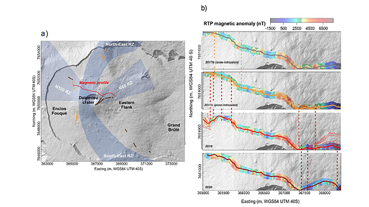
Rapid Evolution of Volcanic Systems Reflected in Magnetics
Spatiotemporal magnetic monitoring along with InSAR models is a powerful tool to image magmatic, hydrothermal, and mechanical changes within the volcanic edifice of the Piton de la Fournaise.
Posted inEditors' Highlights
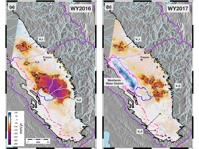
Satellites Detect Groundwater Recharge for San Joaquin Valley
A new study integrates spaceborne InSAR time series and GPS to resolve spatiotemporal patterns of deformation across the San Joaquin Valley indicating recharge areas and pathways for groundwater flow.
Posted inNews
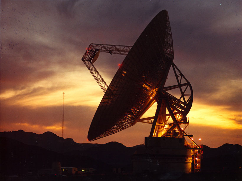
More Than Just Astronomy: Radio Telescopes for Geophysics
Linking an existing network of radio telescopes with satellite radar would make it possible to measure ground displacements in a globally consistent way, scientists propose.
Posted inResearch Spotlights
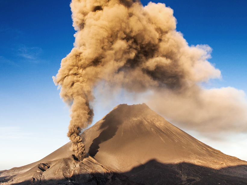
Forecasting Volcanic Eruptions with Artificial Intelligence
A machine learning algorithm automatically detects telltale signs of volcanic unrest.

Posted inNews
How Satellite Data Improve Earthquake Monitoring
Case studies from around the world illustrate the power of geodetic data in earthquake monitoring.
Posted inResearch Spotlights
Radar Technique Shows Magma Flow in 2014 Cape Verde Eruption
The European Space Agency's Sentinel-1 satellite captures volcanic surface changes that reveal the flow below.