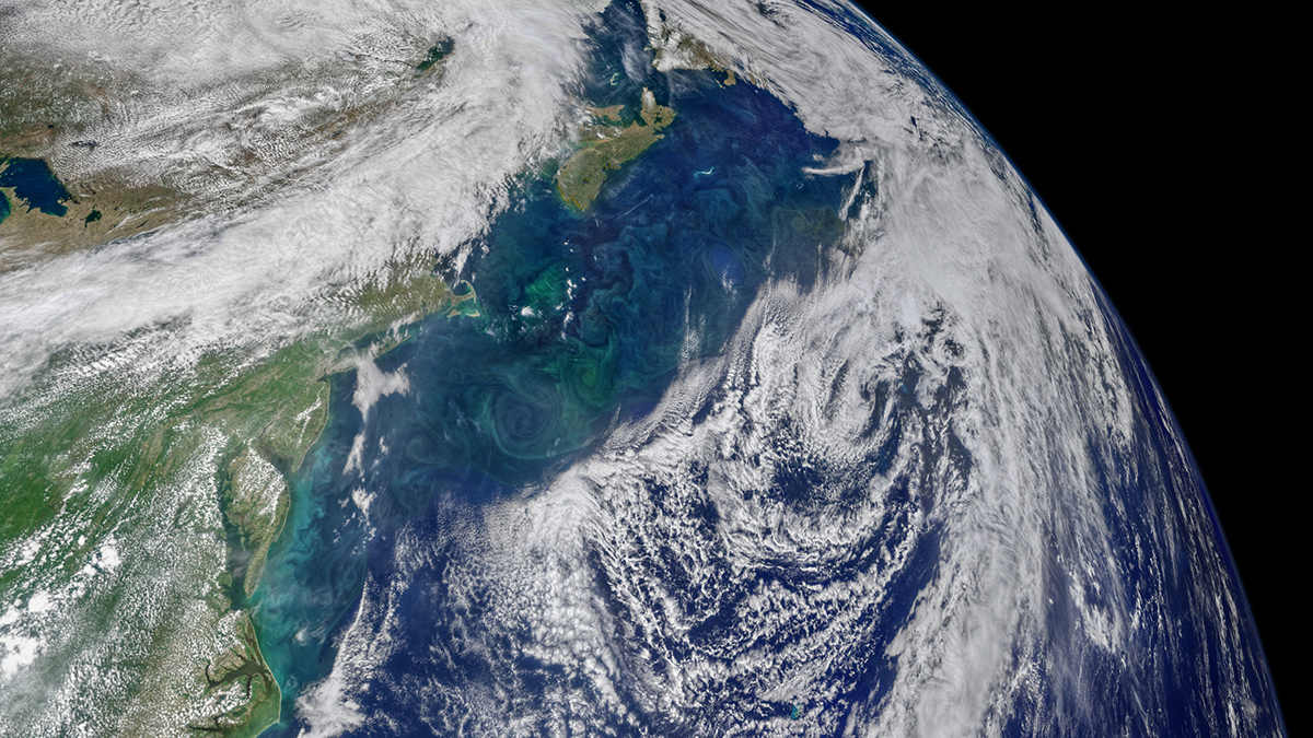
As the planet traps more energy than it releases, the pathways for global food production are being upended.
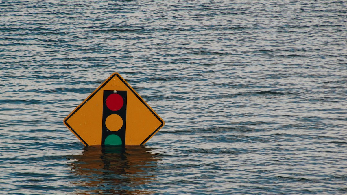
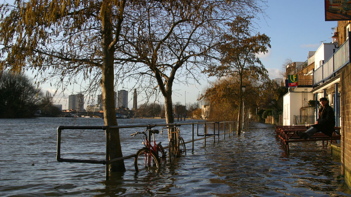
sea level change
Posted inNews
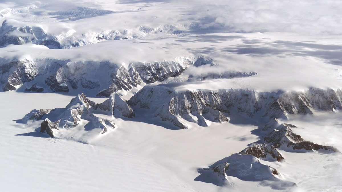
As Ice Recedes and Land Rebounds, Antarctica’s Mineral Resources Come into Focus
Melting ice, rebounding land, and rising seas will change what resources are available in Antarctica, a new analysis finds.
Posted inEditors' Highlights
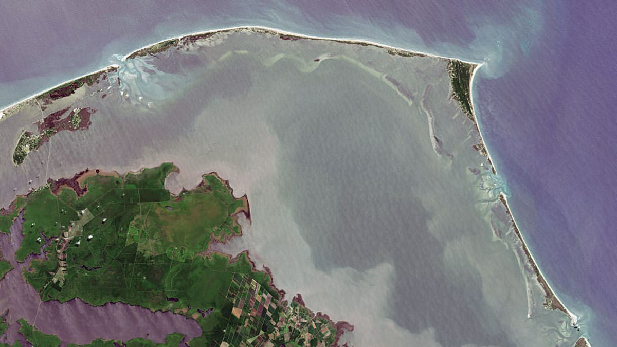
What’s Under the Water Matters
The fate of barrier islands in presence of sea level rise depends on their underwater shape.
Posted inResearch Spotlights
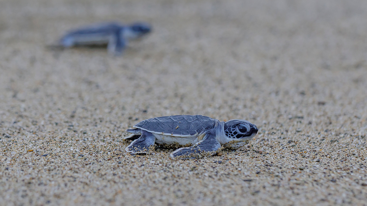
Sea Turtles, Shrinking Beaches, and Rising Seas
A new study looks at how sea turtle nesting sites may be affected as sea levels rise and sandy beaches erode.
Posted inEditors' Vox
How Radar Reveals the Hidden Fabric of Ice Sheets
A new review describes how measuring the polarization of radar waves in ice reveals glacier crystal structure, with implications for understanding past and future ice flow and sea-level rise.
Posted inEditors' Highlights
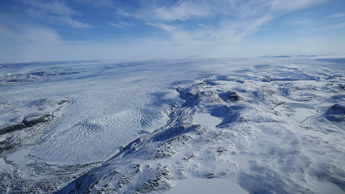
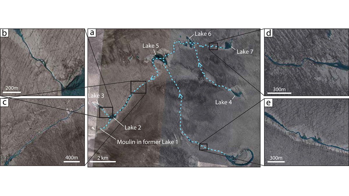
The Fate of the Greenland Ice Sheet: Deep Learning from SkySat Images
Surface meltwater ponding and drainage in the Greenland Ice Sheet is analyzed at high spatial and temporal resolution through SkySat imagery and deep learning.
Posted inEditors' Vox
Tsunamis from the Sky
Not all tsunamis come from the seafloor, some are triggered by the atmosphere, driven by fast-moving storms and pressure waves, and can strike coasts with little warning.
Posted inNews
Why Are River Deltas Disappearing? They’re Sinking Faster Than Many People Realize
It’s not just that sea levels are rising. Scientists believe fossil fuel extraction and river engineering are also factors behind coastline disappearance.
Posted inResearch & Developments
5,500 Toxic Sites in the U.S. at Risk of Flooding as Seas Rise
Rising sea levels have put thousands of facilities containing hazardous materials at risk of flooding this century, according to a new study published in Nature Communications.
Posted inResearch Spotlights
A New Way for Coastal Planners to Explore the Costs of Rising Seas
A framework featuring a range of plausible future sea level rise scenarios could help coastal planners prepare critical infrastructure for the worst-case scenario.