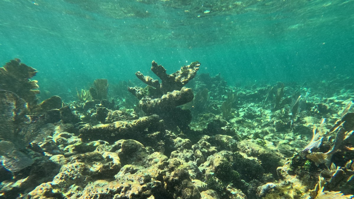
Coral reef growth rates in the tropical western Atlantic have slowed to a fraction of what they once were, erasing coastal protection benefits they once offered.
sea level change
Posted inEditors' Vox
How Glacial Forebulges Shape the Seas and Shake the Earth
A glacial forebulge is a bending-related upheaval of the lithosphere that has a strong effect on the sea level change pattern and on lithospheric stresses, which can induce intraplate earthquakes.
Posted inNews
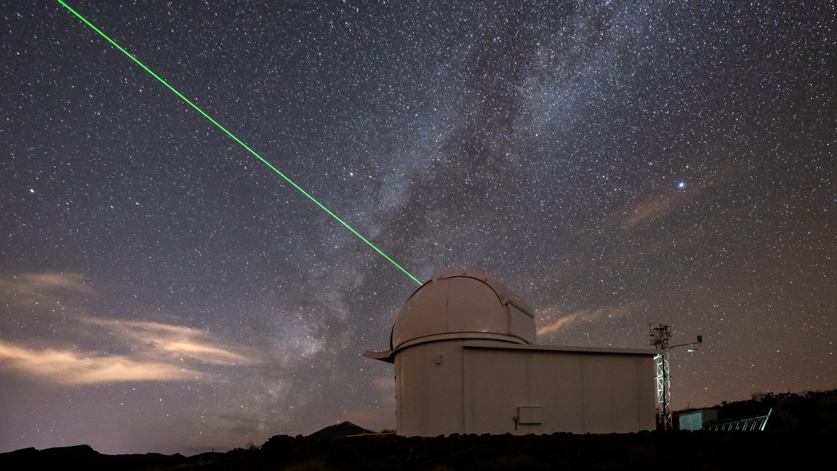
Bridging Old and New Gravity Data Adds 10 Years to Sea Level Record
The remarkable agreement between the two techniques shows how scientists can bolster state-of-the-art gravimetry instruments with old-guard altimetry satellites.
Posted inOpinions
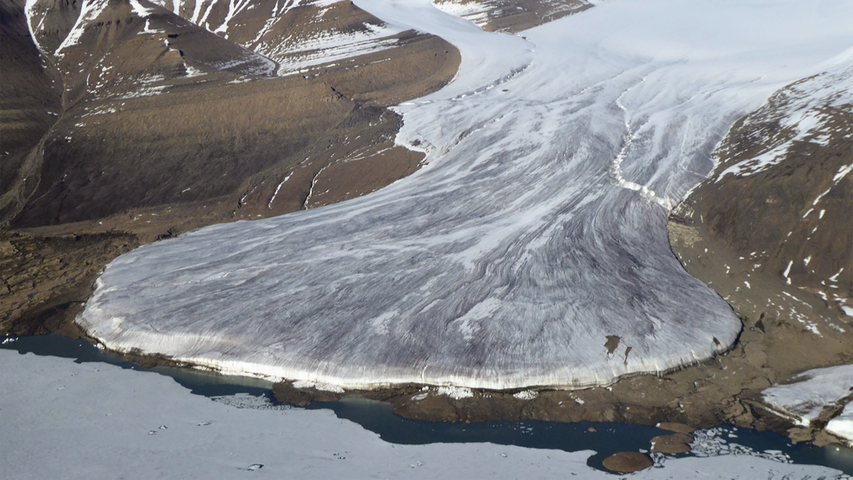
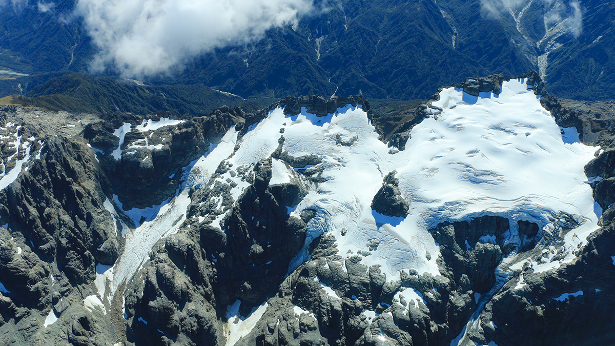
Glacier Monitoring from Space Is Crucial, and at Risk
A new community effort shows that Earth has lost 5% of its global glacier mass since 2000. The work highlights the necessity of spaceborne glacier observations and upcoming gaps in long-term monitoring.
Posted inFeatures
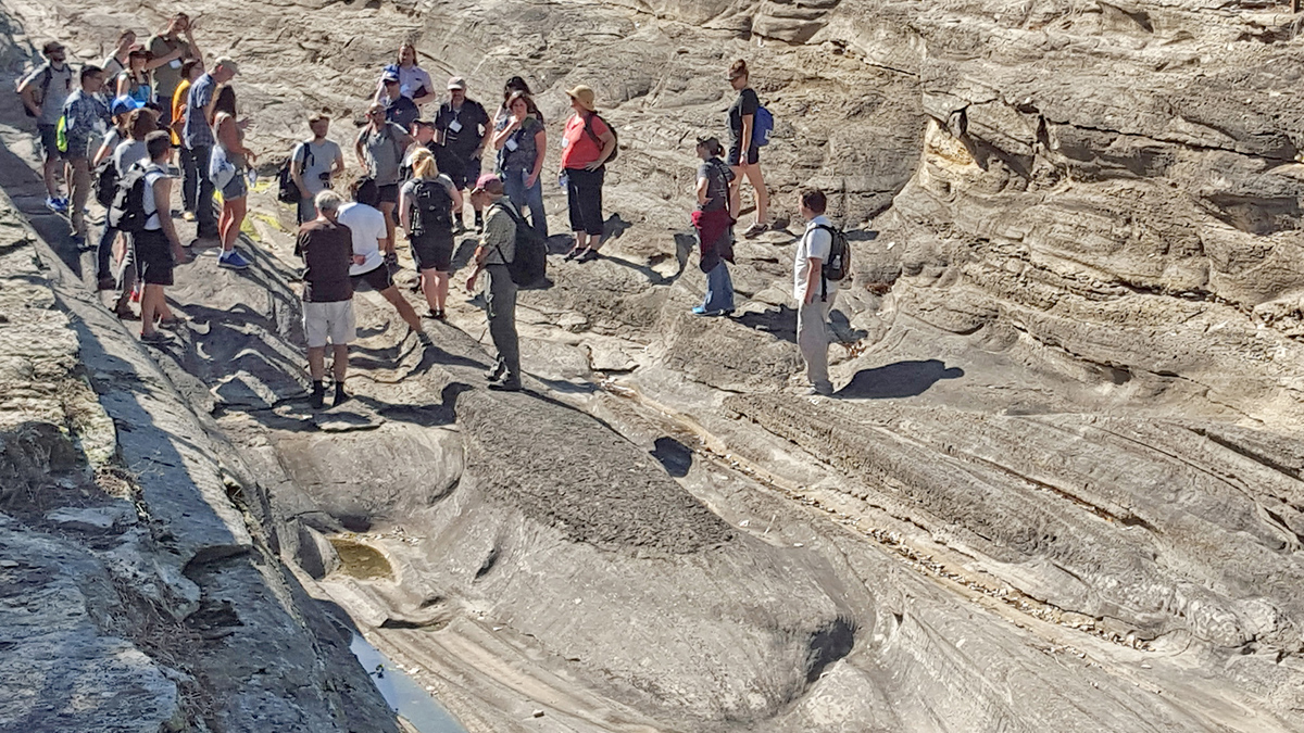
Getting Schooled in Complex Earth System Modeling
Training schools focused on modeling solid Earth responses to ice mass changes offer lessons on how early-career scientists can build professional networks and learn skills to solve complex problems.
Posted inNews
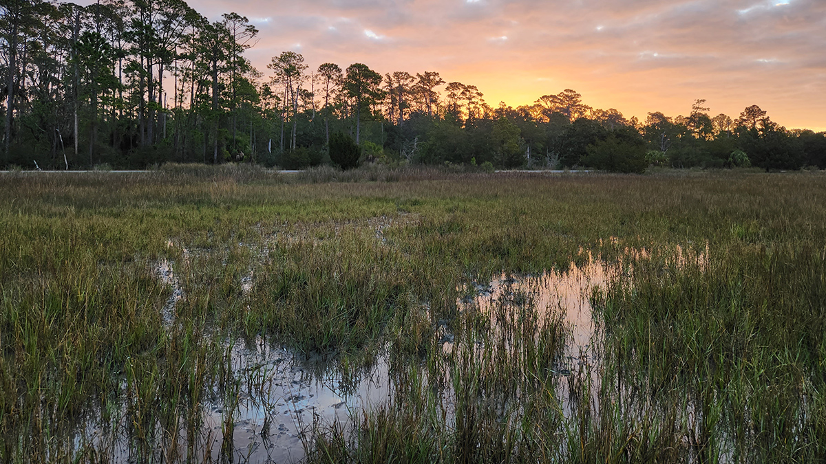
Machine Learning Model Flags Early, Invisible Signs of Marsh Decline
Decreases in underground plant biomass could signal future marsh loss and prompt conservation measures.
Posted inResearch Spotlights
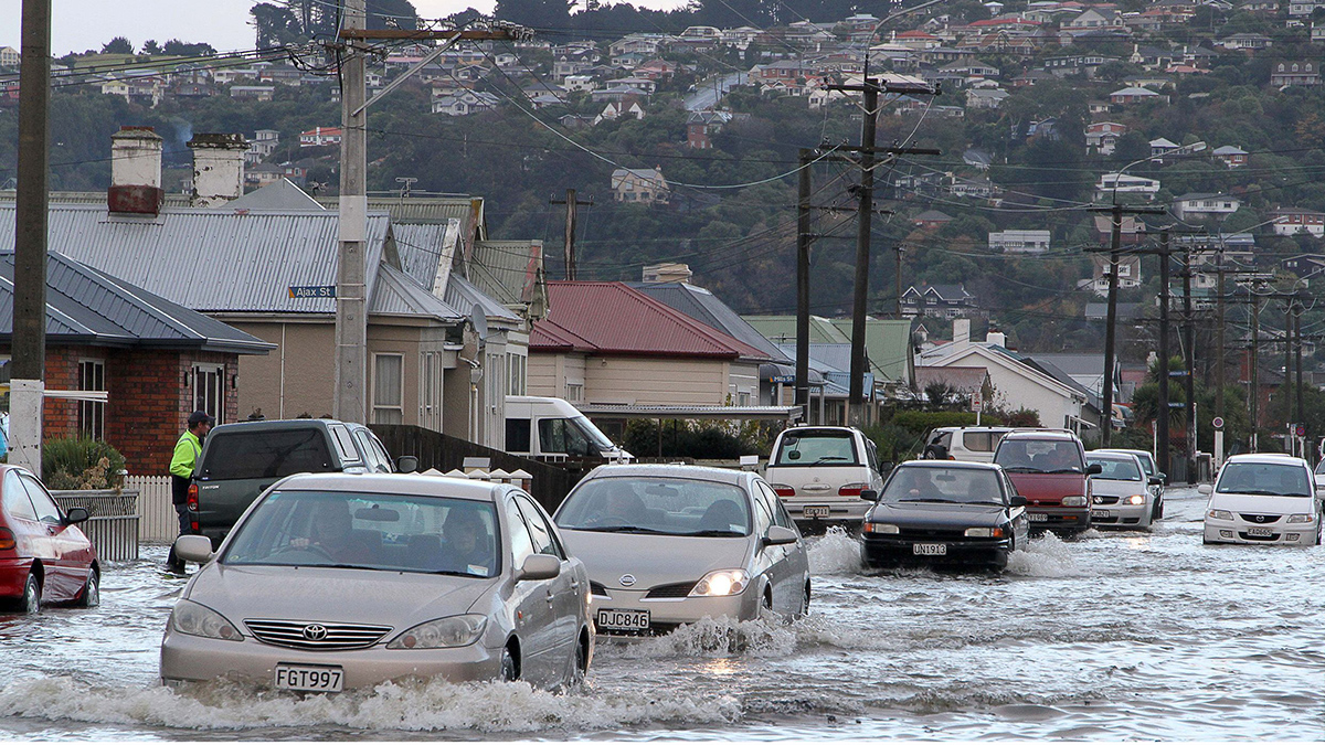
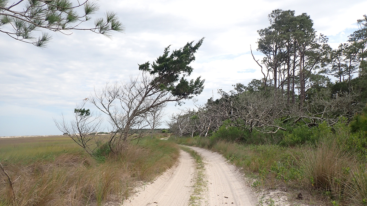
Flood Prediction Could Boost Road Resilience off Georgia’s Coast
Researchers and community members worked together to develop recommendations for how Little Cumberland Island can mitigate flooding hazards.
Posted inEditors' Highlights
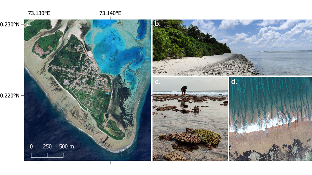
Coastal Models Quantify How Natural Islands Respond to Sea Level Rise
Coastal models enhance understanding of future flooding frequency on atoll islands, paving the way to explore the limits of adaptation in the face of rising sea levels and climate change.
Posted inNews
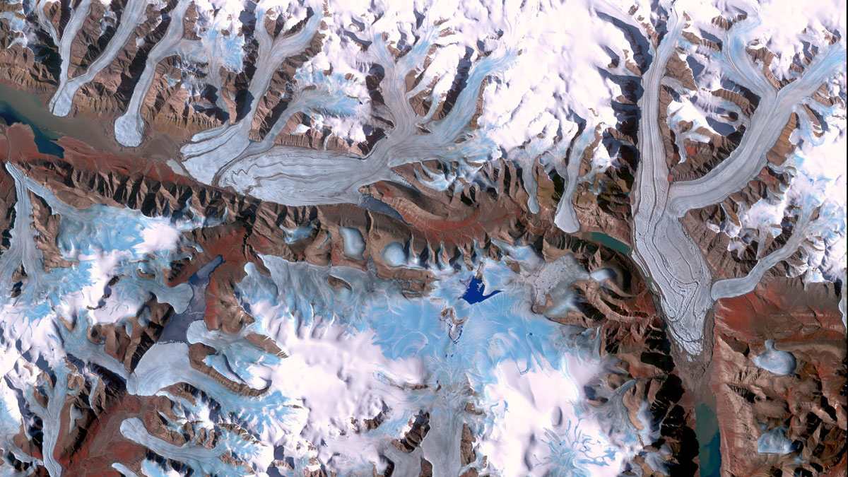
First Global Comparison of Glacier Mass Change: They’re All Melting, and Fast
By systematically assessing data gathered by different methods, researchers refined estimates of global glacier melt and its contribution to sea level rise.