• About
  • Special Reports
  • Topics
    • Climate
    • Earth Science
    • Oceans
    • Space & Planets
    • Health & Ecosystems
    • Culture & Policy
    • Education & Careers
    • Opinions
  • Projects
    • Postcards From the Field
    • ENGAGE
    • Editors’ Highlights
    • Editors’ Vox
    • Eos en Español
    • Eos 简体中文版
    • Print Archive: 2015–2025
  • Policy Tracker
  • Blogs
    • Research & Developments
    • The Landslide Blog
  • Newsletter
  • Submit to Eos
  • AGU.org
  • Career Center
  • Join AGU
  • Give to AGU
  • About
  • Special Reports
  • Topics
    • Climate
    • Earth Science
    • Oceans
    • Space & Planets
    • Health & Ecosystems
    • Culture & Policy
    • Education & Careers
    • Opinions
  • Projects
    • Postcards From the Field
    • ENGAGE
    • Editors’ Highlights
    • Editors’ Vox
    • Eos en Español
    • Eos 简体中文版
    • Print Archive: 2015–2025
  • Policy Tracker
  • Blogs
    • Research & Developments
    • The Landslide Blog
  • Newsletter
  • Submit to Eos
Skip to content
  • AGU.org
  • Career Center
  • Join AGU
  • Give to AGU
Eos

Eos

Science News by AGU

Support Eos
Sign Up for Newsletter
  • About
  • Special Reports
  • Topics
    • Climate
    • Earth Science
    • Oceans
    • Space & Planets
    • Health & Ecosystems
    • Culture & Policy
    • Education & Careers
    • Opinions
  • Projects
    • Postcards From the Field
    • ENGAGE
    • Editors’ Highlights
    • Editors’ Vox
    • Eos en Español
    • Eos 简体中文版
    • Print Archive: 2015–2025
  • Policy Tracker
  • Blogs
    • Research & Developments
    • The Landslide Blog
  • Newsletter
  • Submit to Eos

seafloor

Bathymetric map of the world’s oceans with continents blacked out
Posted inNews

Momentum Grows for Mapping the Seafloor

by Randy Showstack 9 December 201921 February 2023

Initiatives like the Nippon Foundation-GEBCO Seabed 2030 Project can help us better understand the ocean.

Science buildings and living quarters on Fletcher’s Ice Island in 1967
Posted inNews

Scientists Rescue Historical Data Taken on Floating Ice Island

Jenessa Duncombe, Staff Writer by Jenessa Duncombe 27 August 20198 November 2021

A never-before-published data set from the Cold War could help scientists unravel the mysterious western Arctic Ocean.
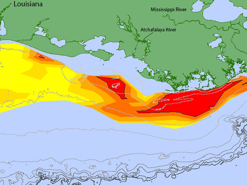
A map of the dead zone in the Gulf of Mexico in 2018 depicts low-oxygen areas in red, orange, and yellow off the coast of Louisiana.
Posted inNews

Gulf Dead Zone Looms Large in 2019

Mary Caperton Morton, Science Writer by Mary Caperton Morton 11 July 201927 January 2023

A new forecast predicts widespread hypoxia after a wet Midwest spring.
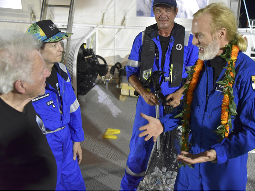
Three people listen while a guy in a lei talks animatedly on the deck of a ship
Posted inNews

Limiting Factor Was a Science Opportunity for a Deep-Sea Geologist

Ilima Loomis, Science Writer by Ilima Loomis 3 July 20192 March 2023

For Mariana Trench expert Patricia Fryer, an extreme explorer’s record-setting dive was a chance to retrieve some of the deepest samples ever collected.
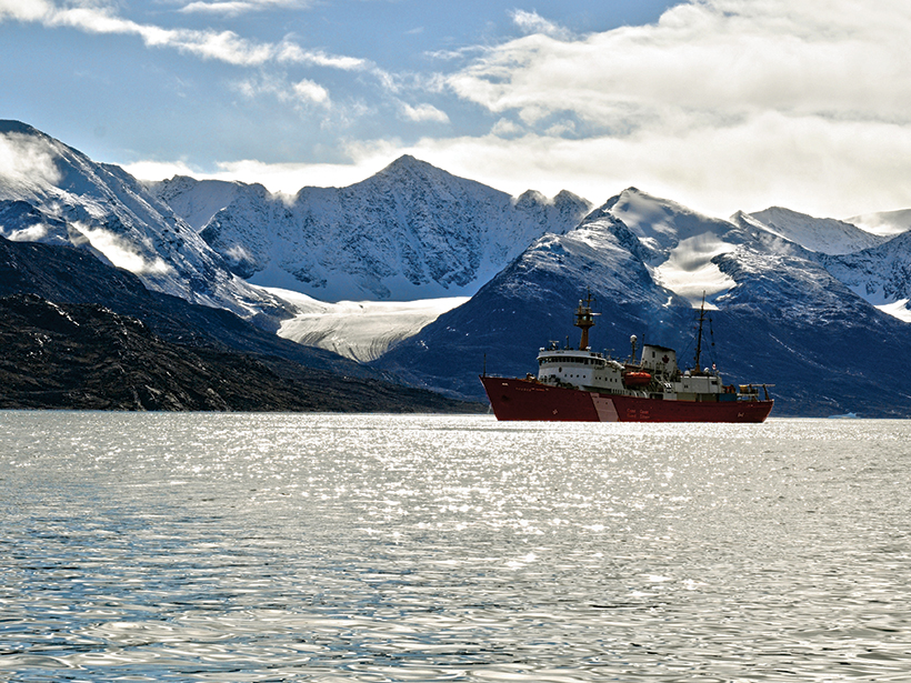
Photo of a research vessel in front of a tidewater glacier
Posted inResearch Spotlights

Arctic Glacial Retreat Alters Downstream Fjord Currents

Sarah Stanley, Science Writer by Sarah Stanley 14 June 201914 March 2024

High-resolution mapping efforts could improve predictions of coastal changes as glaciers shrink around the world.
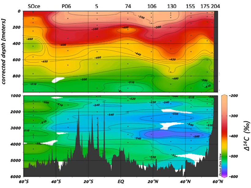
Figure showing first transect of radiocarbon in DOC with depth below the ocean surface in the Pacific Ocean, as a function of latitude
Posted inEditors' Highlights

Pacific Carbon Ages During Long Journey Along Ocean Floor

by Rose Cory 4 June 201927 September 2022

The radiocarbon signal of DOC with depth across the Pacific Ocean basin effectively supports a number of important theories that have been suggested over the years.

Layers of Permian marine sediments exposed on the southeast coast of Tasmania, Australia
Posted inResearch Spotlights

New Global Analysis Reveals Amount of Sediment on the Ocean Floor

by David Shultz 10 May 201929 June 2022

Researchers calculate that there are ~3.37 × 10⁸ cubic kilometers of sediment on the world’s ocean floor.
Posted inFeatures

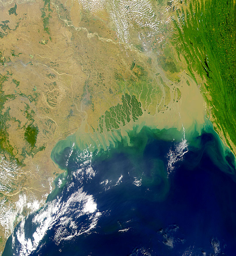
The Search for the Severed Head of the Himalayas

Lucas Joel by L. Joel 25 April 20198 August 2023

To unearth the very first sediments to erode from the Himalayas, a team of scientists drilled beneath the Bay of Bengal.
seafloor-cold-methane-seep-bubbles-NOAA-virginia
Posted inScience Updates

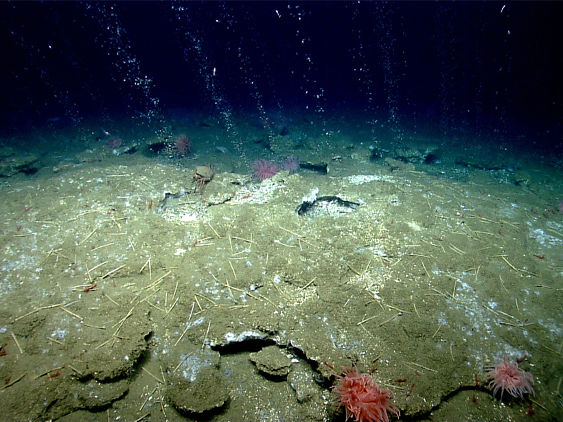
Compiling a Census for SEAFLEAs

by B. Phrampus, T. Lee and W. Wood 2 April 201910 March 2023

Collaboration to Compile Open-Source Sites of Seafloor Fluid Expulsion Anomalies, AGU Fall Meeting 2018; Washington, D.C., 14 December 2018
A photomicrograph of ten species of foraminiferans.
Posted inAGU News

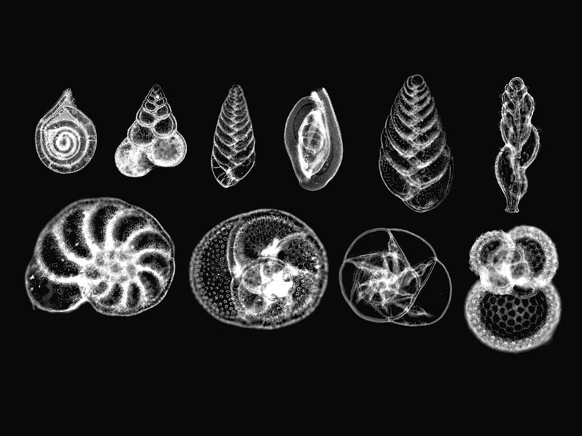
How Did We Get Here?

Heather Goss, AGU Publisher by Heather Goss 1 April 201915 April 2022

With a discovery made from fossils in the seabed, paleoceanographers and paleoclimatologists began tracing the delicate path between ancient eras and our future.

Posts pagination

Newer posts 1 … 11 12 13 14 15 … 20 Older posts
Over a dark blue-green square appear the words Special Report: The State of the Science 1 Year On.

Features from AGU Publications

Research Spotlights

Patchier Permafrost Is Linked to More Intense Hillslope Erosion

14 October 202614 October 2026
Editors' Highlights

Limits of Satellite Detection of Extreme Carbon Cycle Events

7 October 20267 October 2026
Editors' Vox

Where Fire Ends, Chemistry Begins

30 September 202630 September 2026
Eos logo at left; AGU logo at right

About Eos
ENGAGE
Awards
Contact

Advertise
Submit
Career Center
Sitemap

© 2026 American Geophysical Union. All rights reserved Powered by Newspack