Scientists from different disciplines are working together to identify common challenges in and techniques for modeling fluid migration associated with subduction zone processes.
subduction
Posted inEditors' Highlights
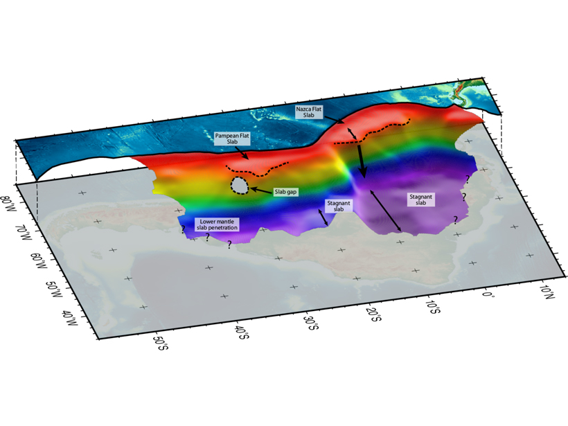
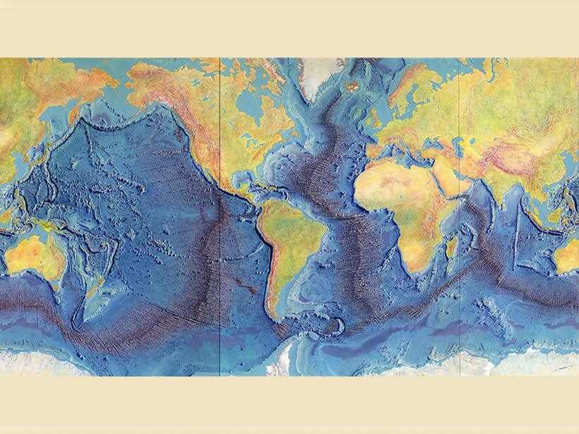
The Other, Deeper, South American Flat Slab
Tomographers trace the slab subducting beneath South America into the lower mantle, providing the most complete picture of structure beneath the continent to date.

Posted inEditors' Highlights
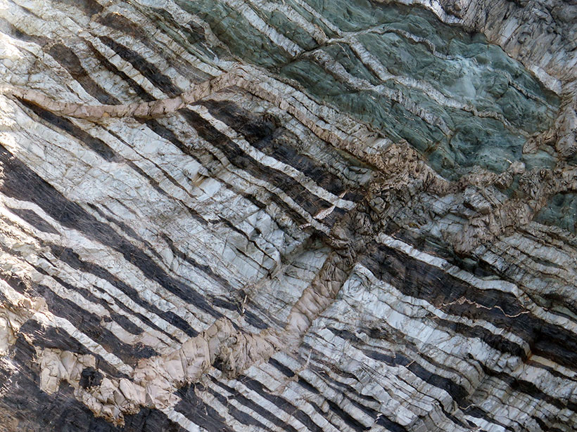
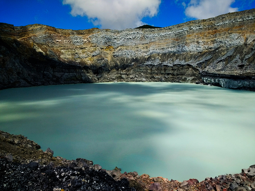
Extremely High Carbon Return in Certain Volcanic Arcs
By comparing measured volcanic output with subducted carbon fluxes from drill cores, the Lesser Antilles subduction zone shows nearly complete slab carbon release at sub-arc depths.
Posted inNews
Getting to the Bottom of Slow-Motion Earthquakes
For close to 20 years, slow-motion earthquakes have been an enigma. Core samples provide new clues to their origins.
Posted inResearch Spotlights
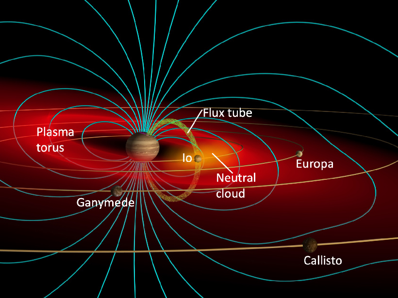
Two Moons and a Magnetosphere
Decades of research have illuminated how Io and Europa shape—and are shaped by—Jupiter’s giant magnetosphere.
Posted inScience Updates
Microbial Influences on Subduction Zone Carbon Cycling
An innovative collaboration is investigating how geobiological processes alter fluxes of carbon and other materials between the deep Earth and the surface.
Posted inNews
Fluid Pressure Changes Grease Cascadia’s Slow Aseismic Earthquakes
Twenty-five years’ worth of data allows scientists to suss out subtle signals deep in subduction zones.

Posted inNews
Using Garnets to Explore Arc Magma Oxidation
Samples collected from Greece help researchers piece together a scientific puzzle.
Posted inScience Updates
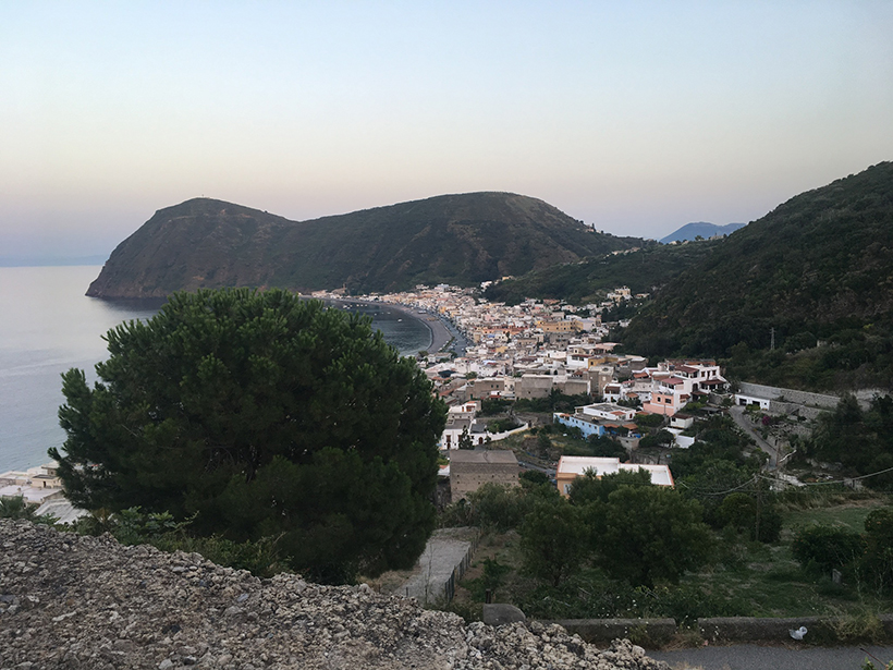
Seismic Sensors Probe Lipari’s Underground Plumbing
An international team of scientists installed a novel, dense network of 48 seismic sensors on the island of Lipari to investigate the active magma system underground.