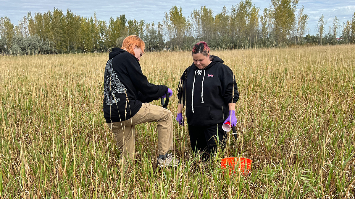
Researchers and students are building a comprehensive picture of the microbial life beneath our feet.
United States
Posted inNews
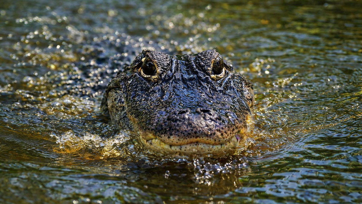
Alligators May Boost Carbon Storage in Coastal Wetlands
Research suggests that American alligators help coastal wetlands retain more carbon, linking predator recovery in the southeastern United States to ecosystem function and climate processes.
Posted inNews
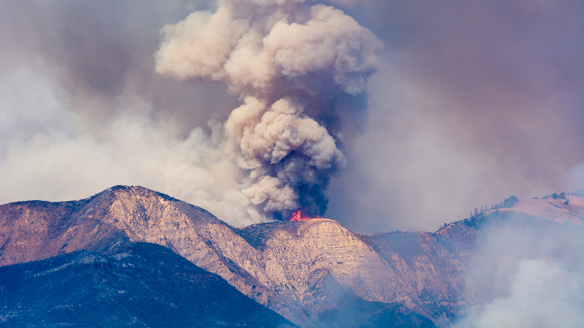
Wildfire Smoke Linked to 17,000 Strokes Annually in the United States
A study of 25 million Medicare participants adds to a body of evidence suggesting that prolonged exposure to wildfire smoke is more harmful to human health than other forms of air pollution.
Posted inOpinions
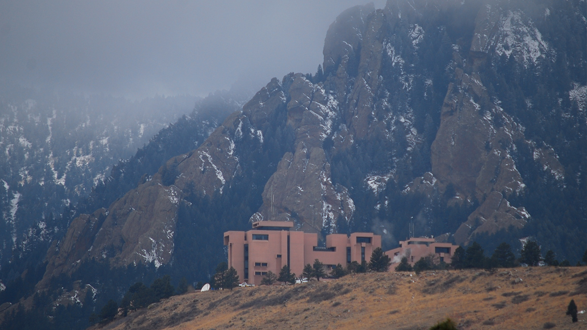
What Americans Lose If Their National Center for Atmospheric Research Is Dismantled
Five ways dismantling NCAR will cost the American people, and two ways to save it.
Posted inNews
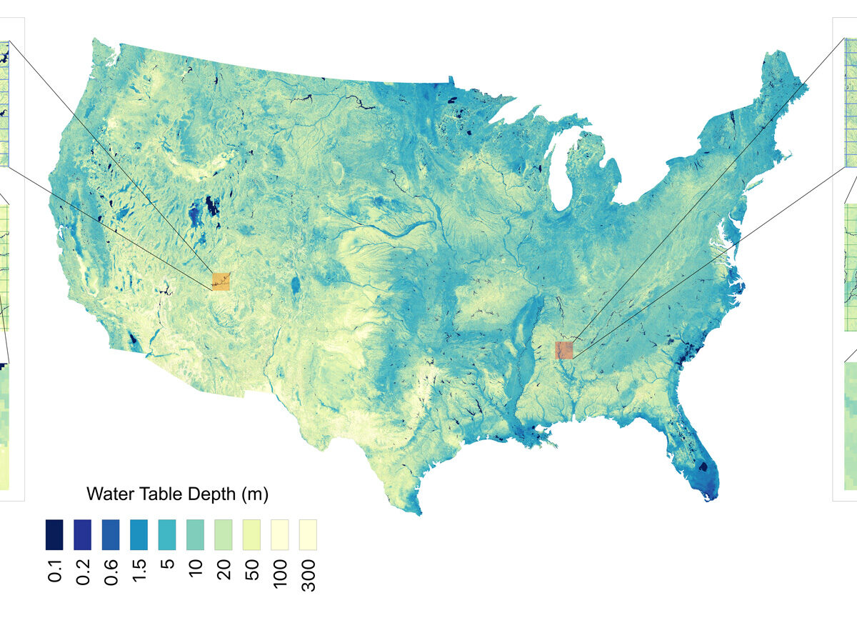
Report: 13 Great Lakes’ Worth of Water Underlies the Contiguous United States
Researchers used 1 million data points and a machine learning algorithm to estimate groundwater stores with higher resolution than ever before.
Posted inThe Landslide Blog
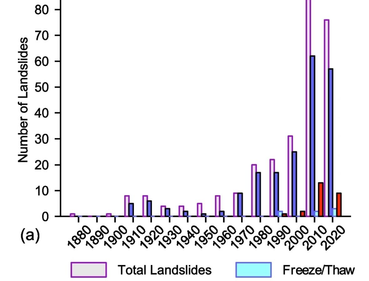
A landslide inventory that extends over a century in Alaska demonstrates that climate change is having a major impact
The Landslide Blog is written by Dave Petley, who is widely recognized as a world leader in the study and management of landslides. Of course, allow me to start by wishing all my readers a Happy 2026. I suspect that we are in for quite a landslide journey again this year. In late November, a […]
Posted inEditors' Highlights
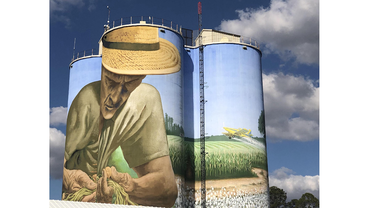
Voicing Farmers’ Concerns on the Future of Agriculture
A new study explores the deep, multi-faceted concerns of small- and mid-scale farmers about the direction of farming and food systems in the United States.
Posted inNews
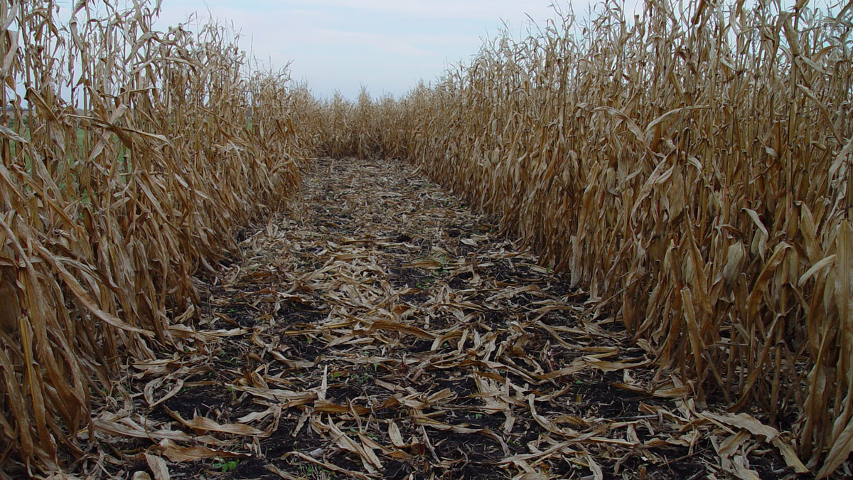
How Might Leftover Corn Stalks Halt Fugitive Carbon?
Bio-oil made from plant waste could help limit carbon emissions from orphaned oil and gas wells. But would it help or hinder farmers’ bottom line?
Posted inFeatures
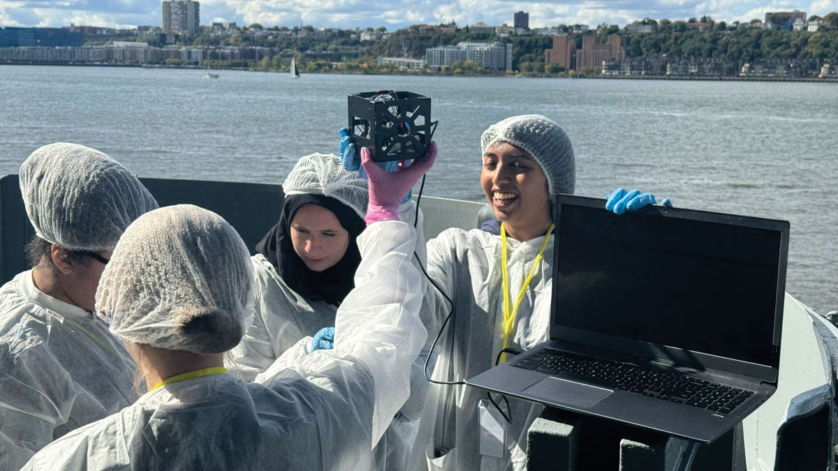
Small Satellites, Big Futures
Programs that teach students to design, build, and launch tiny satellites are helping to inspire the next generation of space scientists and engineers.
Posted inNews
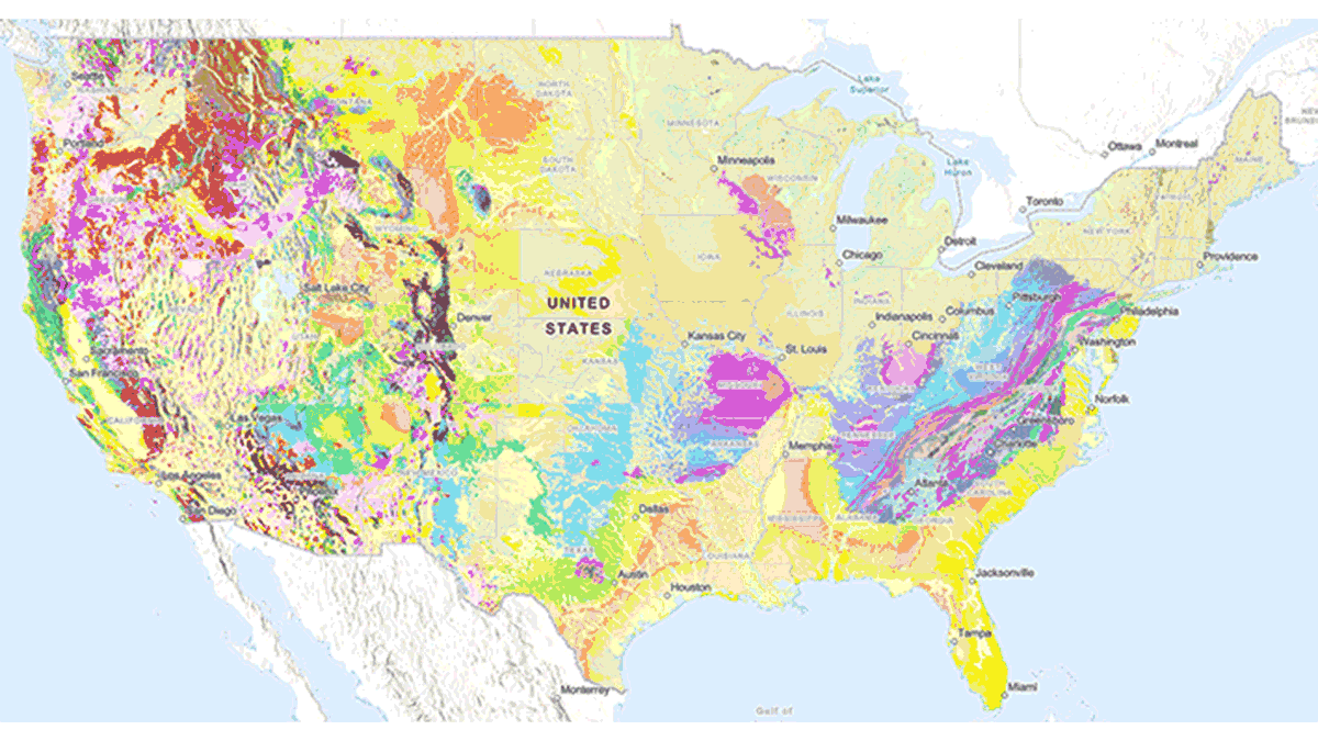
New USGS Map Offers an Interactive Look at the Rocks Beneath Our Feet
The Cooperative National Geologic Map is an interactive tool that builds on both cutting-edge technology and decades of mapping by geoscientists.