• About
  • Special Reports
  • Topics
    • Climate
    • Earth Science
    • Oceans
    • Space & Planets
    • Health & Ecosystems
    • Culture & Policy
    • Education & Careers
    • Opinions
  • Projects
    • Postcards From the Field
    • ENGAGE
    • Editors’ Highlights
    • Editors’ Vox
    • Eos en Español
    • Eos 简体中文版
    • Print Archive: 2015–2025
  • Policy Tracker
  • Blogs
    • Research & Developments
    • The Landslide Blog
  • Newsletter
  • Submit to Eos
  • AGU.org
  • Career Center
  • Join AGU
  • Give to AGU
  • About
  • Special Reports
  • Topics
    • Climate
    • Earth Science
    • Oceans
    • Space & Planets
    • Health & Ecosystems
    • Culture & Policy
    • Education & Careers
    • Opinions
  • Projects
    • Postcards From the Field
    • ENGAGE
    • Editors’ Highlights
    • Editors’ Vox
    • Eos en Español
    • Eos 简体中文版
    • Print Archive: 2015–2025
  • Policy Tracker
  • Blogs
    • Research & Developments
    • The Landslide Blog
  • Newsletter
  • Submit to Eos
Skip to content
  • AGU.org
  • Career Center
  • Join AGU
  • Give to AGU
Eos

Eos

Science News by AGU

Support Eos
Sign Up for Newsletter
  • About
  • Special Reports
  • Topics
    • Climate
    • Earth Science
    • Oceans
    • Space & Planets
    • Health & Ecosystems
    • Culture & Policy
    • Education & Careers
    • Opinions
  • Projects
    • Postcards From the Field
    • ENGAGE
    • Editors’ Highlights
    • Editors’ Vox
    • Eos en Español
    • Eos 简体中文版
    • Print Archive: 2015–2025
  • Policy Tracker
  • Blogs
    • Research & Developments
    • The Landslide Blog
  • Newsletter
  • Submit to Eos

United States

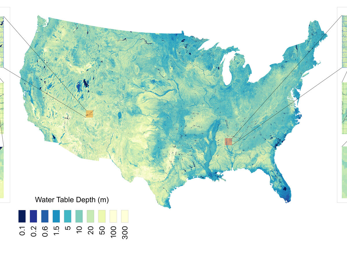
A map of the contiguous United States shows the depth of the water table in different areas.
Posted inNews

Report: 13 Great Lakes’ Worth of Water Underlies the Contiguous United States

by Emily Gardner 26 January 202626 January 2026

Researchers used 1 million data points and a machine learning algorithm to estimate groundwater stores with higher resolution than ever before.

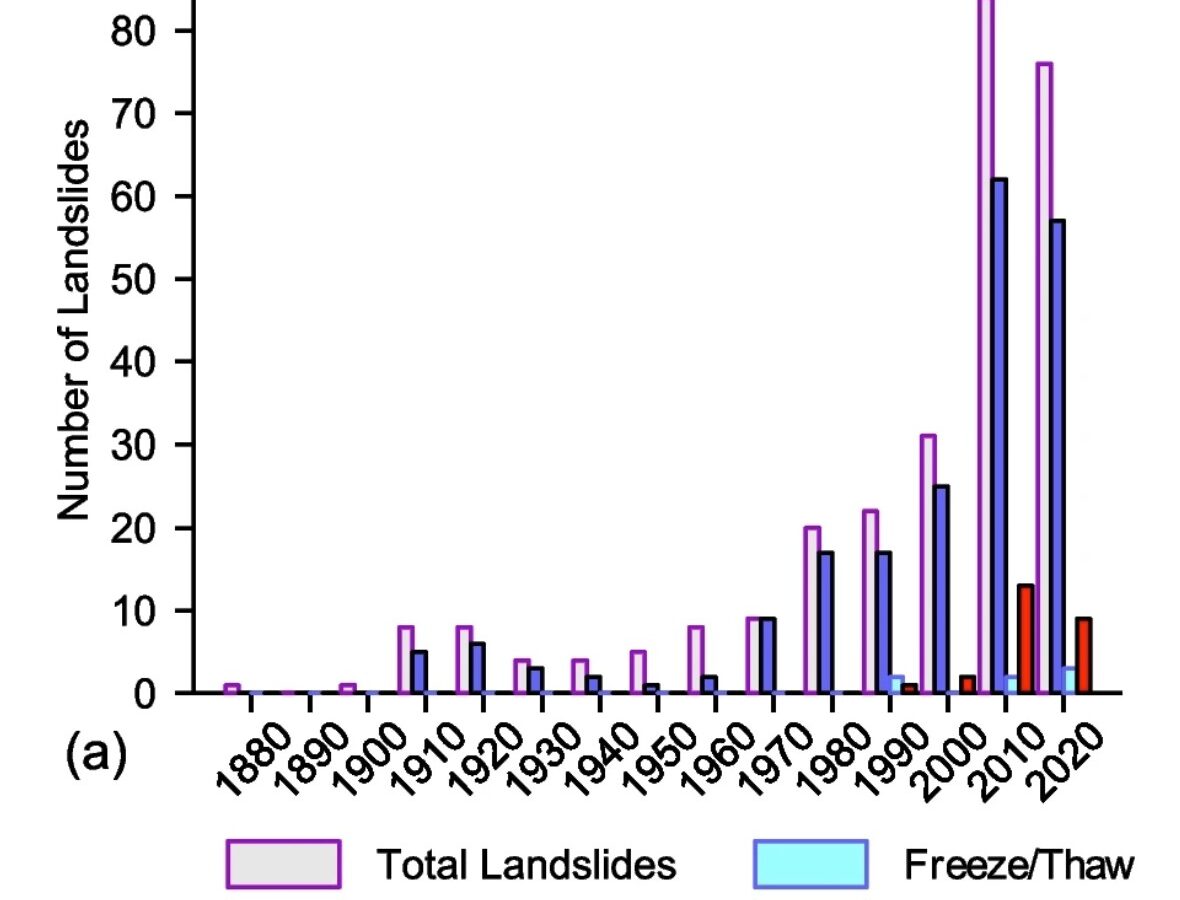
The recorded incidence of landslides in Alaska by decade, from Darrow and Jacobs (2024).
Posted inThe Landslide Blog

A landslide inventory that extends over a century in Alaska demonstrates that climate change is having a major impact

by Dave Petley 2 January 20262 January 2026

The Landslide Blog is written by Dave Petley, who is widely recognized as a world leader in the study and management of landslides. Of course, allow me to start by wishing all my readers a Happy 2026. I suspect that we are in for quite a landslide journey again this year. In late November, a […]
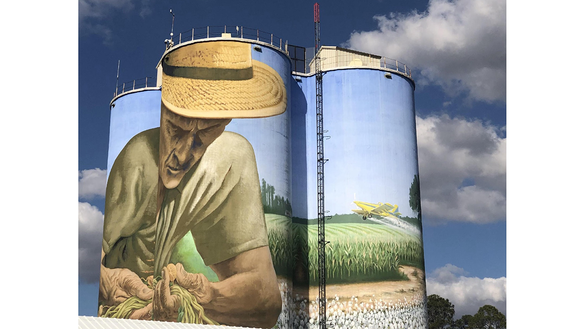
Photo of silos with a mural painted on them.
Posted inEditors' Highlights

Voicing Farmers’ Concerns on the Future of Agriculture

by Claire Beveridge 31 October 202531 October 2025

A new study explores the deep, multi-faceted concerns of small- and mid-scale farmers about the direction of farming and food systems in the United States.
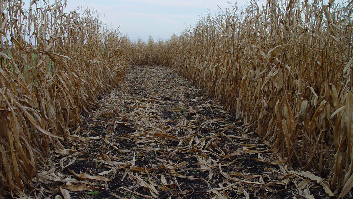
A trail leads through withered stalks of corn.
Posted inNews

How Might Leftover Corn Stalks Halt Fugitive Carbon?

Sarah Derouin, Science Writer by Sarah Derouin 8 October 20258 October 2025

Bio-oil made from plant waste could help limit carbon emissions from orphaned oil and gas wells. But would it help or hinder farmers’ bottom line?

Two young people wearing protective clothing hold aloft a small cube connected to a laptop computer, while two other young people record data. They stand on the deck of a stationary ship on a river with city buildings and trees visible on the far riverbank.
Posted inFeatures

Small Satellites, Big Futures

Kimberly M. S. Cartier, News Writing and Production Intern for Eos.org by Kimberly M. S. Cartier 29 September 20253 October 2025

Programs that teach students to design, build, and launch tiny satellites are helping to inspire the next generation of space scientists and engineers.
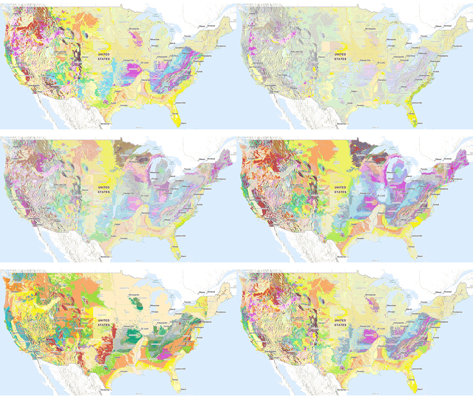
Animation of the Cooperative National Geologic Map from the USGS
Posted inNews

New USGS Map Offers an Interactive Look at the Rocks Beneath Our Feet

by Nathaniel Scharping 26 September 202526 September 2025

The Cooperative National Geologic Map is an interactive tool that builds on both cutting-edge technology and decades of mapping by geoscientists.
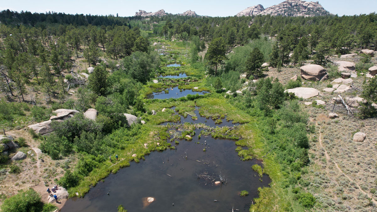
Drone image of beaver pond complex in Wyoming. A group of around five humans stands on a rock near the pond’s edge on a sunny day. Green wetland vegetation rings the open ponds of water, with beaver dams visible across the stream. Vegetation on either side of the stream is in drier conditions, visible by species and color of soil and plants.
Posted inNews

What Makes Beaver Ponds Bigger?

by Mack Baysinger 18 September 202518 September 2025

For the first time, researchers are able to add hydrologic estimates to find where reintroducing beavers could best benefit a watershed and the humans who live within it.
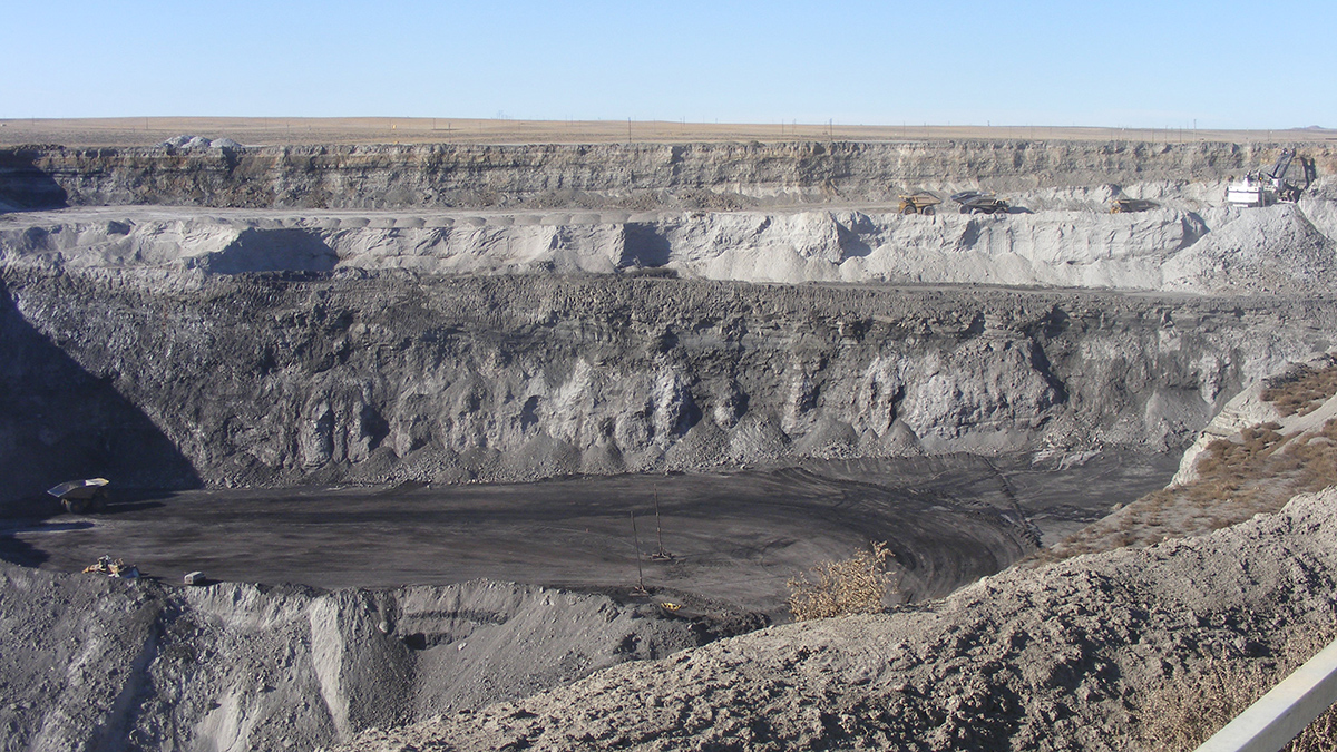
A large surface mine shows a deep hole with multiple trucks and excavation equipment that are dwarfed compared to the size of the mine pit
Posted inResearch Spotlights

By 2051, Emissions from Coal Mining on Federal Lands Could Drop by 86%

Sarah Derouin, Science Writer by Sarah Derouin 20 August 202520 August 2025

Researchers predict that if early 2024 policies hold, emissions related to coal’s extraction, transportation, and combustion will drop over the next 25 years.
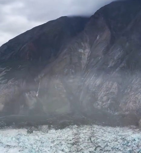
An initial view of the 10 August 2025 landslide onto the South Sawyer Glacier.
Posted inThe Landslide Blog

Updates from the Alaska Earthquake Center regarding the 10 August 2025 landslide

by Dave Petley 13 August 202513 August 2025

The location of this major event has now been identified. It was a major rock slope failure that ran out across the South Sawyer Glacier. The Alaska Earthquake Center has now provided a detailed update about the 10 August 2025 landslide that occurred in the area of Tracy Arm. This work has been led by […]
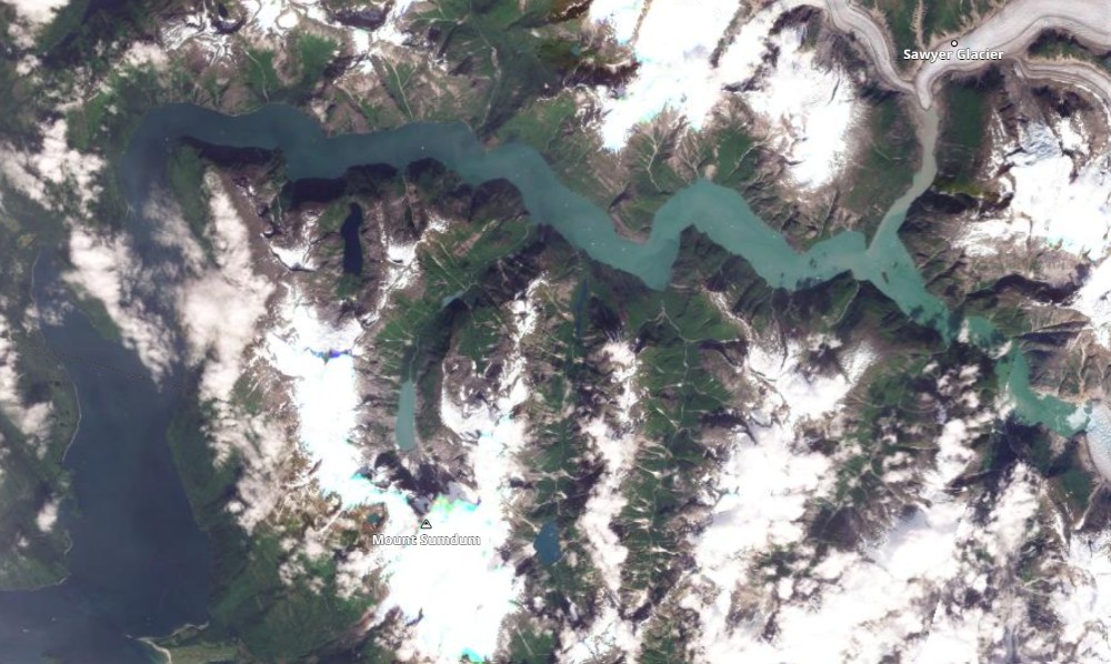
Satellite image of Tracy Arm inlet.
Posted inThe Landslide Blog

A likely large, tsunamigenic landslide in Tracy Arm inlet, Alaska on 10 August 2025

by Dave Petley 11 August 202511 August 2025

Seismic data and eye-witness reports of a displacement wave point to a large landslide at 5:30 am. On 10 August 2025, at 5:30 am local time, the Alaska Earthquake Center detected a seismic signal that was almost certainly generated by a landslide. They have posted the record of the seismic signal to Twitter. Their posting […]

Posts pagination

Newer posts 1 2 3 4 5 6 … 46 Older posts
Over a dark blue-green square appear the words Special Report: The State of the Science 1 Year On.

Features from AGU Publications

Research Spotlights

Shooting Light Pulses Down a 3-Kilometer Borehole Could Illuminate Seismic Hazards

6 October 20266 October 2026
Editors' Highlights

Limits of Satellite Detection of Extreme Carbon Cycle Events

7 October 20267 October 2026
Editors' Vox

Where Fire Ends, Chemistry Begins

30 September 202630 September 2026
Eos logo at left; AGU logo at right

About Eos
ENGAGE
Awards
Contact

Advertise
Submit
Career Center
Sitemap

© 2026 American Geophysical Union. All rights reserved Powered by Newspack