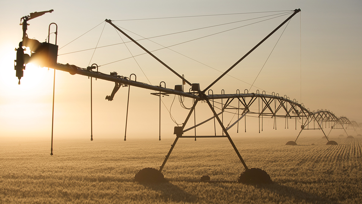
Like heat waves, these periods of high atmospheric demand for water can damage crops and ecosystems and increase pressure on water resources. New research shows they’re becoming more severe.
United States

Posted inResearch & Developments
NASA Abandons Pledge to Put Women, Astronauts of Color on the Moon
NASA has dropped its commitment to land the first woman, the first person of color, and the first non-American astronaut on the Moon through the Artemis program.
Posted inResearch & Developments
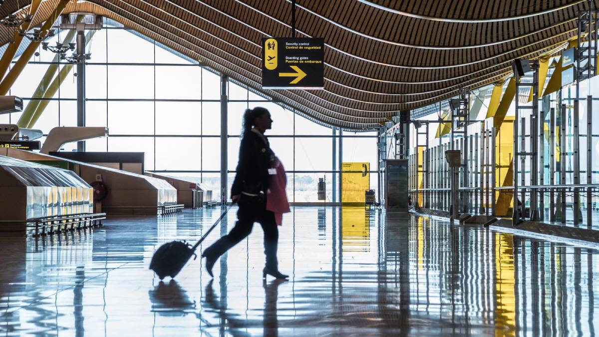
French Scientist, En Route to Conference, Denied U.S. Entry for Trump-Critical Messages
On 9 March, a French researcher traveling to a science conference near Houston, Texas, was denied entry to the United States and expelled back to France.
Posted inResearch & Developments
Firings Reversed: Judge Says Some Federal Workers Must Be Reinstated
Today, a federal judge in San Francisco ordered the Trump administration to offer reinstatement to all probationary employees previously fired from the departments of Agriculture, Defense, Energy, Interior, Treasury and Veterans Affairs.

Posted inNews
Will Its $154 Billion Price Tag Keep Dust from Being Swept Under the Rug?
Data from 2017 show that costs associated with dust were second only to hurricanes when comparing billion-dollar disasters.

Posted inResearch Spotlights
Food Insecurity Is Linked to Heart Disease and Diabetes in the United States
A new study examines the geographic and demographic connections between health and a lack of consistent access to food, finding that this link is particularly strong in the South.

Posted inNews
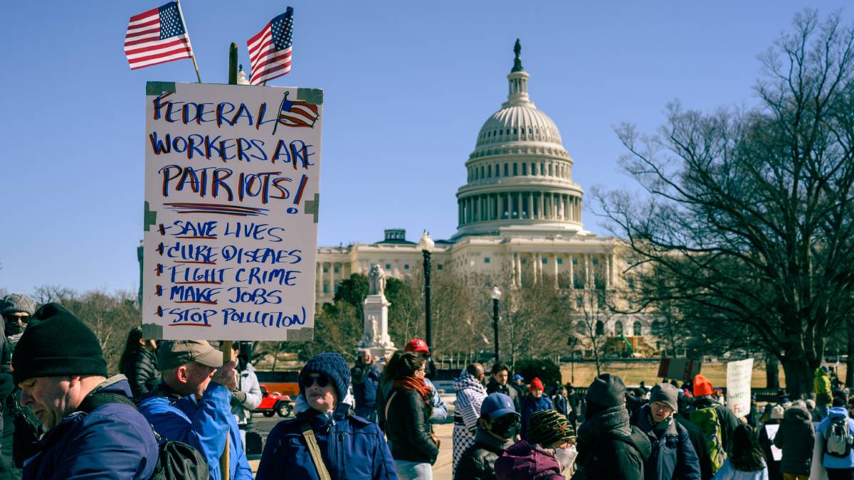
Crowds Stand Up for Science Across the United States
Funding freezes, firings, and censorship have sent shockwaves through the science community since January. Scientists and supporters are standing up in defense.

Posted inNews
Trump Boasts About Dismantling Environmental and Science Policy
President Trump’s address to Congress touted takedowns of Biden’s initiatives and encouraged fossil fuel expansion but did not acknowledge recent cuts to the federal workforce.

Posted inNews
U.S. Power Grids are Vulnerable to Extreme Weather
Different kinds of severe weather, including multiple kinds at once, have different impacts on the grid in different places.
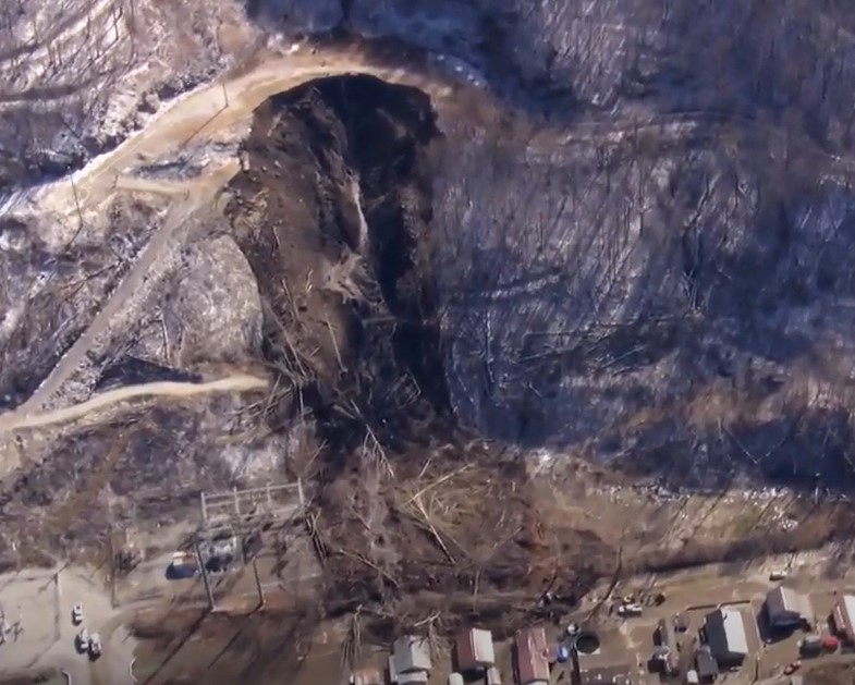
Posted inThe Landslide Blog
The 17 February 2025 landslide at Fleming-Neon in Kentucky
The Landslide Blog is written by Dave Petley, who is widely recognized as a world leader in the study and management of landslides. Being based in the UK, it is hard to keep track of the news from the US at the moment, but I watch with horror as the capability of science agencies (e.g. […]