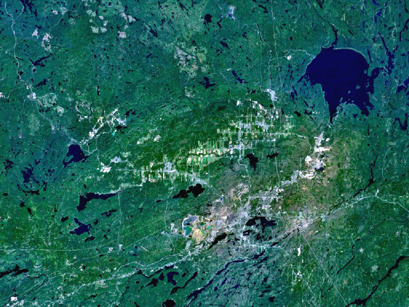
Scientists revisit Canada’s Sudbury crater in light of new evidence from other planets that suggests an alternative postimpact history.
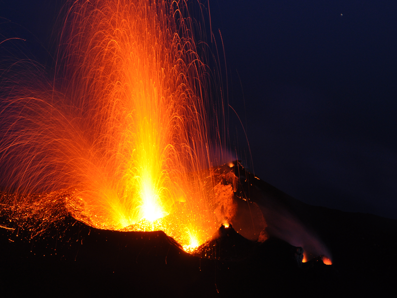
volcanoes

Posted inScience Updates
Understanding Kamchatka’s Extraordinary Volcano Cluster
An international seismological collaboration in Kamchatka, Russia, investigates the driving forces of one of the world’s largest, most active volcano clusters.

Posted inResearch Spotlights
An Improved Model of How Magma Moves Through the Crust
Researchers have developed a new numerical model that can, for the first time, solve for both the speed and the path of a propagating dike.

Posted inResearch Spotlights
What Led to the Largest Volcanic Eruption in Human History?
A mineral-dating project at the Toba caldera in Indonesia sheds light on the science of supereruptions.

Posted inNews
“Fingerprinting” Volcanic Tremors May Help Forecast Eruptions
Volcano seismic waves produce distinct tremor patterns, or "fingerprints," shared by different kinds of volcanoes.

Posted inNews
Balloons of Lava Bubble into the Ocean from Seafloor Blisters
These peculiar features of submarine volcanic eruptions could be the result of undersea lava lakes.

Posted inScience Updates
Volcanic Ash Particles Hold Clues to Their History and Effects
Volcanic Ash as an Active Agent in the Earth System (VA3): Combining Models and Experiments; Hamburg, Germany, 12–13 September 2016

Posted inNews
Lunar Lava Tubes Could Offer Future Moon Explorers a Safe Haven
Scientists find evidence that a 50-meter-deep pit on the Moon's surface could be a skylight opening to an intact lava tube tens of kilometers long.

Posted inResearch Spotlights
What Caused the Fatal 2014 Eruption of Japan's Mount Ontake?
Analysis of the change in the stratovolcano's tilt just prior to the explosion suggests that the cracking of a previously intact fluid barrier caused the country's deadliest eruption since 1926.
Posted inResearch Spotlights
Tracking Volcanic Bombs in Three Dimensions
A new method allows researchers to precisely track in three dimensions bits of fragmented magma as they are expelled in explosive volcanic eruptions.