
Proactive approaches allow water practitioners to address issues in innovative, inclusive ways.
water cycle
Posted inResearch Spotlights
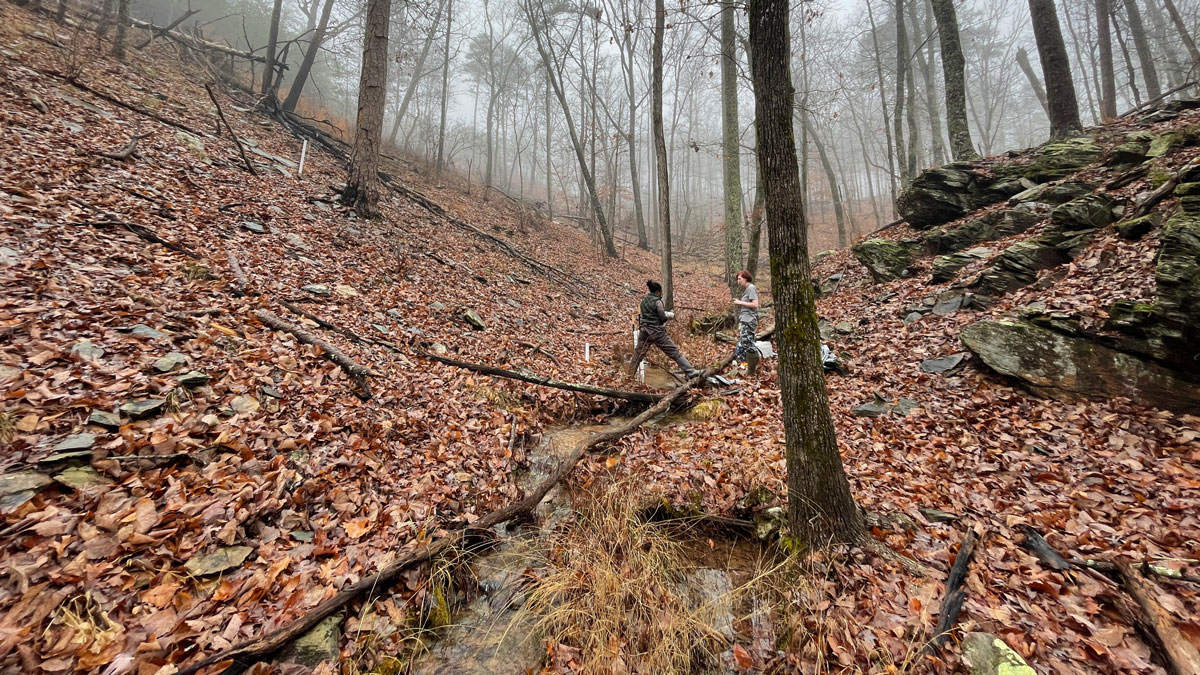
The “Surprising” Effect of Drying Headwaters on Nitrogen Dynamics
Contrary to predictions, spring rains caused a decrease in nitrogen at watershed outflows in Alabama.

Posted inEditors' Vox
Topography and the Terrestrial Water Cycle
The relationship between topography and the terrestrial water cycle has been documented for thousands of years, yet there is still much to learn about Earth’s complex dynamics – both above, at, and below the surface.
Posted inEditors' Highlights
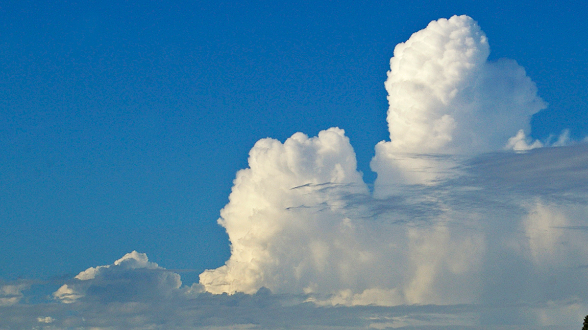
Tropical Congestus Clouds Explained by Water Vapor Spectroscopy
A new study demonstrates how the abundance of congestus clouds in the tropics can be explained by the water molecule’s discerning appetite for infrared radiation.
Posted inResearch Spotlights
New Insight into Inland Water Carbon Dioxide Emissions
A process-based modeling technique reveals surprising information about carbon emissions from rivers, lakes, and reservoirs across the contiguous United States.
Posted inEditors' Highlights
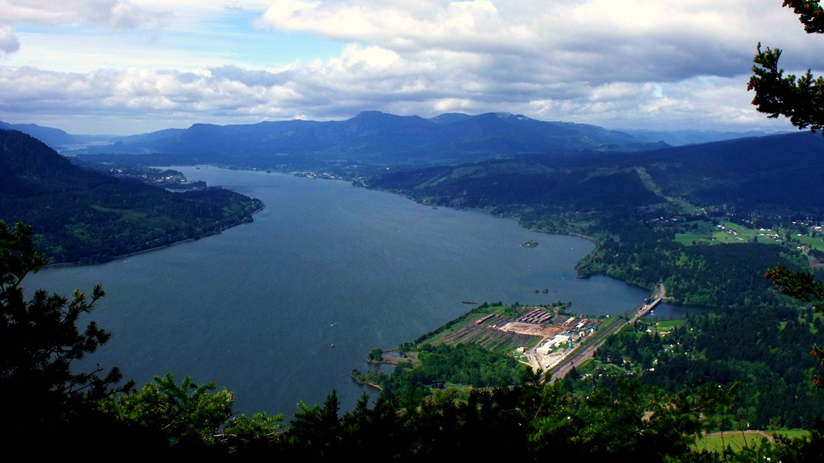
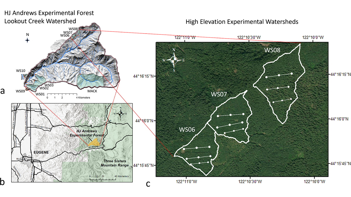
Understanding Carbon-Water Tradeoffs in Pacific Northwest Forests
A new study documents how spruce forests differing in management and age structure influence individual tree growth, carbon stocks, and landscape-water balance in the Pacific Northwest.

Posted inOpinions
Concerns over Lithium, Water, and Climate in Earth’s Two Highest Deserts
Brine mining to meet resource demands amid renewable energy transitions is affecting water resources in South America and China. Hydrologists can help understand how and join the search for solutions.

Posted inEditors' Highlights
New Method Reveals Hidden Structures in Clear-Sky Vertical Motion
High-resolution satellite data reveal unexpected, highly heterogeneous vertical motions in the clear-sky atmosphere, with a new method proposed for measuring these motions.
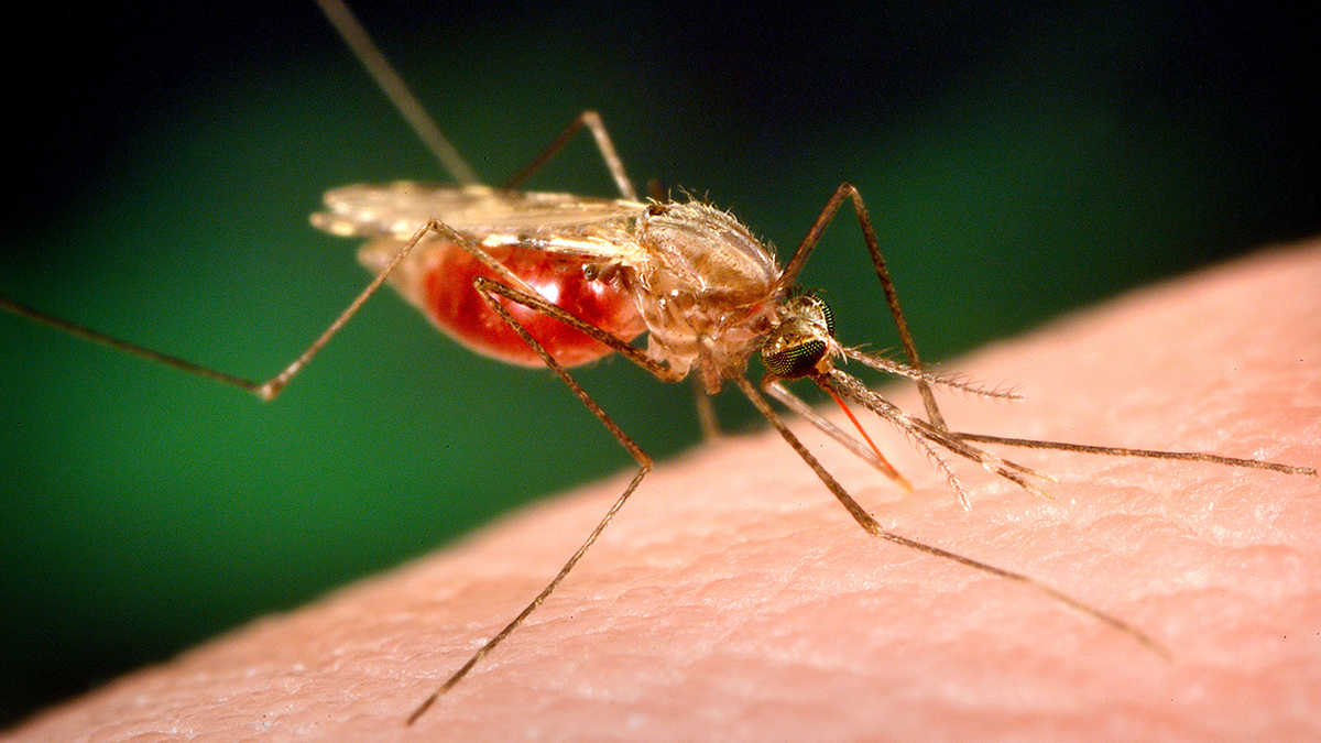
Posted inNews
La transmisión de la malaria en África varía con el clima y la hidrología
Los datos sobre las precipitaciones por sí solos no pueden predecir dónde puede aparecer la malaria. Si se tienen en cuenta los procesos hidrológicos, los investigadores pueden hacerse una imagen más precisa de la transmisión.

Posted inNews
Malaria Transmission in Africa Shifts with the Climate—and Hydrology
Rainfall data alone can’t predict where malaria may pop up. Factoring in hydrological processes helps researchers paint a more nuanced picture of transmission.