
Solar occultation observations from the ACS/MIR instrument provide coincident profiles of O3, H2O and temperature, shedding light on correlations and unveiling knowledge gaps in Mars’s photochemistry.
water cycle
Posted inResearch Spotlights
How We’re Reshaping Global Water Storage
Researchers modeled and mapped how eight key aspects of human societies affect hydrological cycles.

Posted inNews
The Amazon Rain Forest Can’t Keep Up with Droughts
Droughts in one region of the Amazon can lead to less moisture elsewhere, and trees may not adapt quickly enough to survive.
Posted inResearch Spotlights
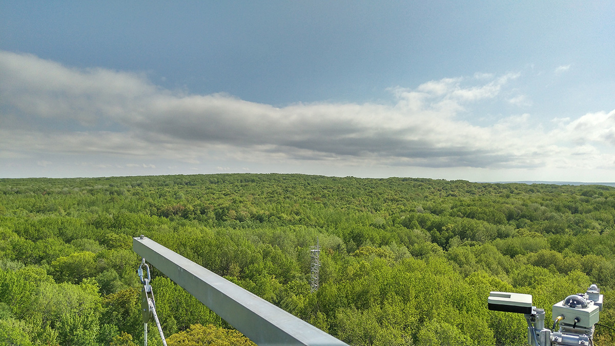
Using Sap Flow to Infer Plant Hydraulic Properties
The internal hydraulic properties of plants are difficult to measure but may be inferred from observable sap flow.
Posted inNews
Large-Scale Reforestation Efforts Could Dry Out Landscapes Across the World
The complex interactions between forests and the water cycle might end up with more rain falling in the ocean—far from a thirsty land.

Posted inScience Updates
Clues from the Sea Paint a Picture of Earth’s Water Cycle
New instrumentation and growing modeling needs in the Earth sciences are driving a renewed effort to compile and curate seawater oxygen isotope data in a centralized, accessible database.
Posted inEditors' Highlights
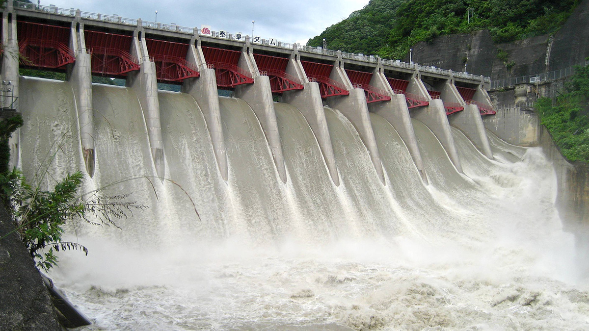
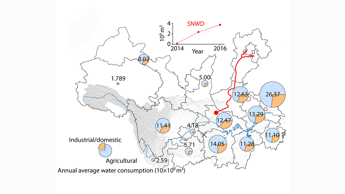
Improved Understanding of Runoff Dynamics in the Yangtze River Basin
Satellite data combined with in-situ observations on terrestrial water storage change and human water consumption provides a more accurate picture of runoff dynamics at sub-basin scale.
![A 3-D image of the study area of Liu et al. [2022] in Kuuguluk River at Salluit, Nunavik (Quebec), Canada. The image shows the locations of A-A’ and B-B’ and lines C1-5.](https://eos.org/wp-content/uploads/2022/04/2021WR031630-Figure-4.png)
Posted inEditors' Highlights
Why is Permafrost Groundwater Surfacing?
Hydrogeological properties of degrading permafrost come to fruition with a new 3-D modeling study that highlights the increasing role of groundwater in the water cycle of high-latitude areas.

Posted inEditors' Highlights
Clay Type, Not Just Content, Crucial for Fault Zone Permeability
Faults containing clays are often considered as barriers to fluid flow but new work shows that fault processes leading to the formation of clays can increase permeability relative to the host rock.
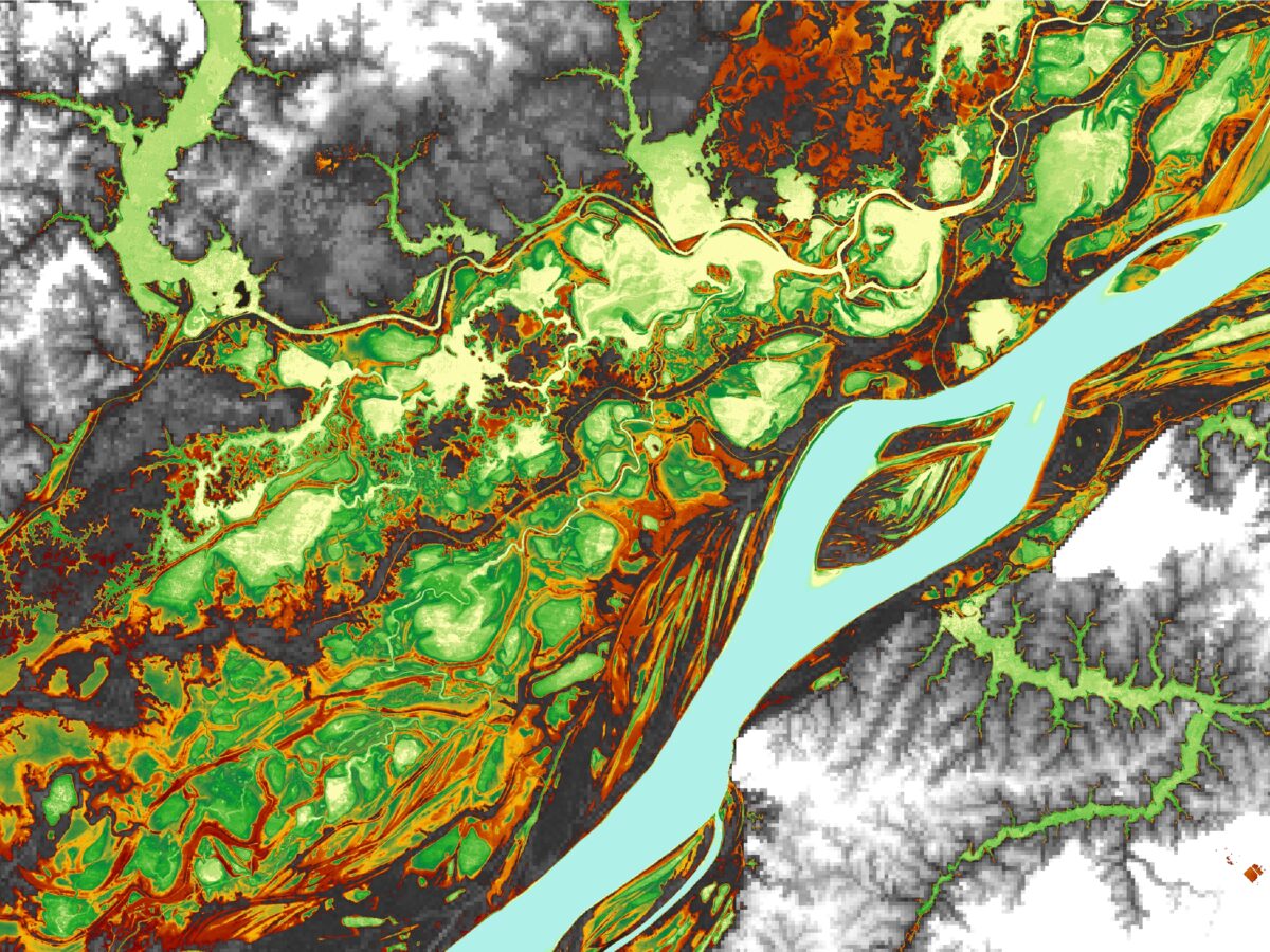
Posted inEditors' Vox
Amazon Water Cycle Observed from Space
Satellite observations offer invaluable insights into hydrological processes and environmental change in the Amazon.