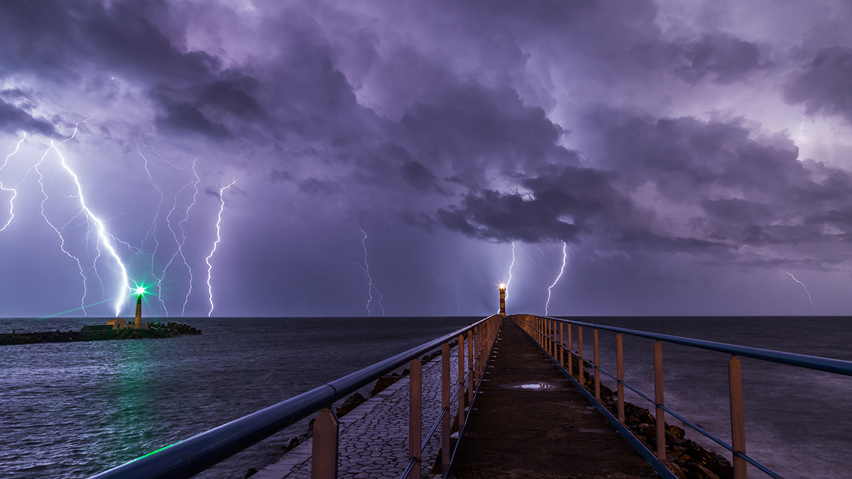
Forecasters hope new algorithms will lead to earlier warnings of when dangerous weather is on the way.
weather
Posted inNews
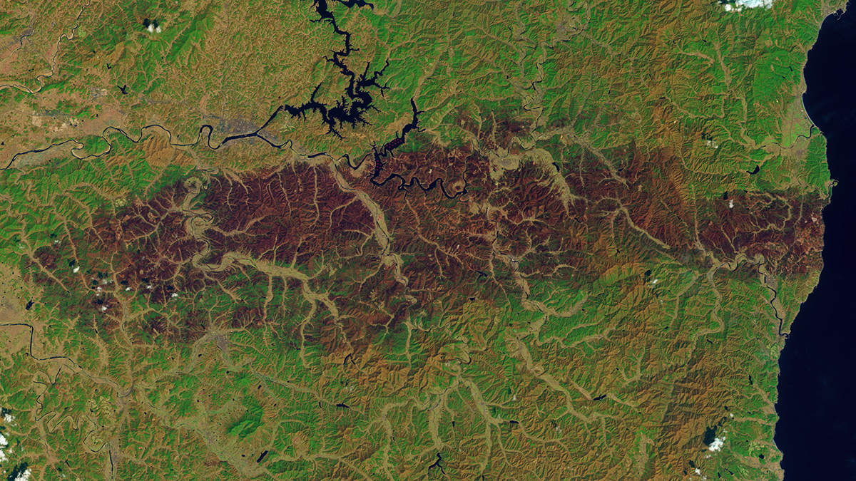
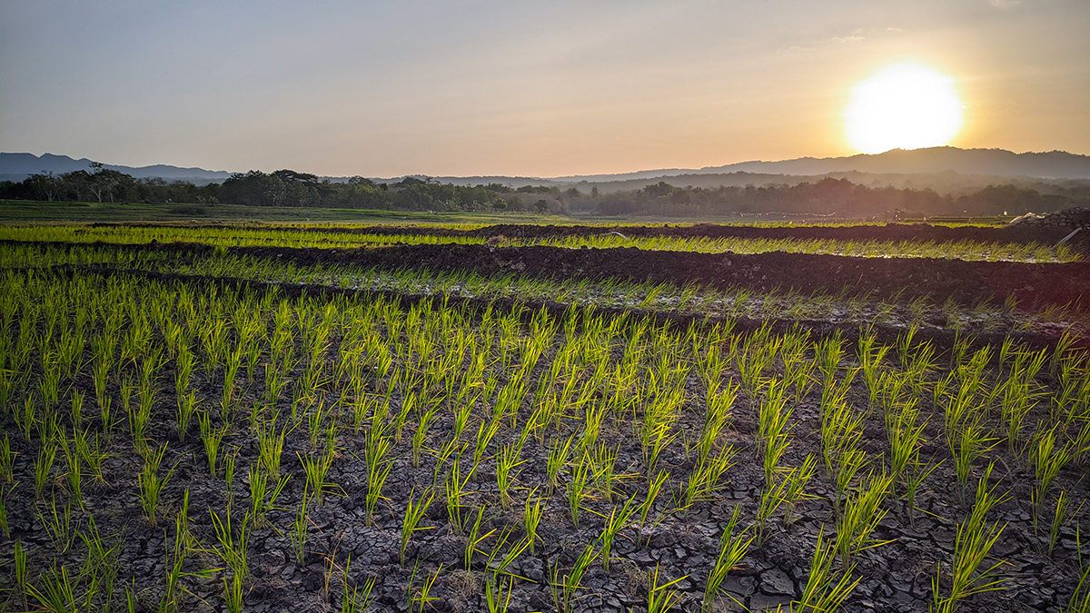
Climate Change Heightened Conditions of South Korean Fires
Unusually low rainfall and humidity, combined with windier days, made the catastrophic wildfires more likely.
Posted inEditors' Vox
An Air Parcel’s Journey Through the Stratosphere
The “age of stratospheric air” measures the speed of the global transport circulation in the stratosphere, which is crucial for understanding the distribution of important trace gases, like ozone.
Posted inResearch & Developments
Weather Alert Translations on Hold Until Further Notice
This month, the National Weather Service (NWS) announced that, until further notice, it will no longer be offering automated translation services for its severe weather alerts. These alerts warn U.S. residents about imminent dangers including thunderstorms, tropical cyclones, flooding, and extreme heat.

Posted inNews
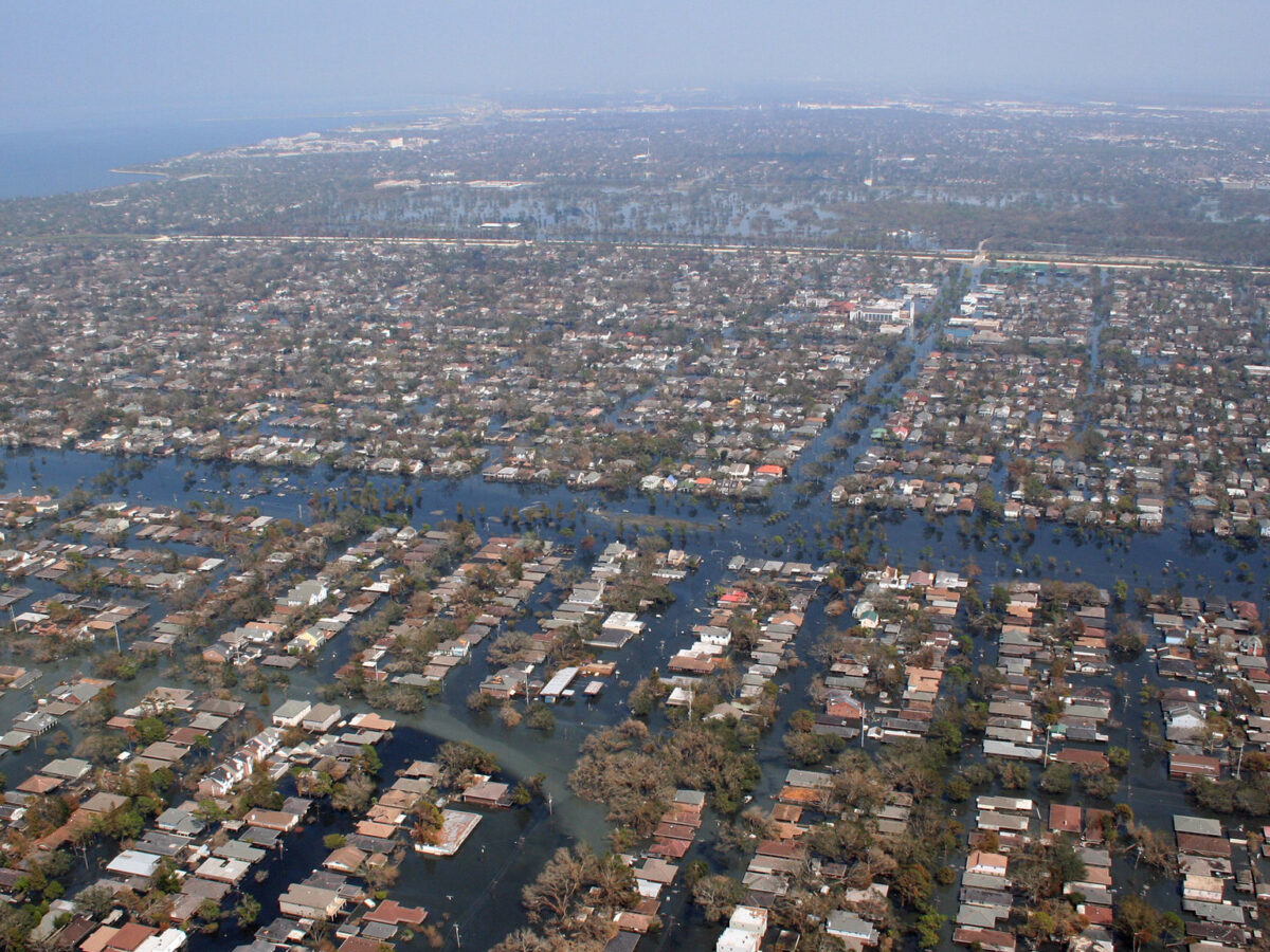
U.S. Power Grids are Vulnerable to Extreme Weather
Different kinds of severe weather, including multiple kinds at once, have different impacts on the grid in different places.

Posted inENGAGE, News
Soccer Players Risk Heat Stress in World Cup Stadiums
Rapidly traveling between climate zones, all with different average temperatures, humidities, and oxygen levels, will place additional stress on players, staff, and spectators.

Posted inNews
Panama Canal Logistics Are at the Mercy of Weather and Climate
Regional weather variability and climate change make operating the canal a challenge.
Posted inOpinions
Earth Scientists Are Crucial to International Development
Global development agencies traditionally hire experts in human systems. As these agencies focus more on climate and environmental initiatives, they need informed guidance from Earth system scientists.
Posted inNews
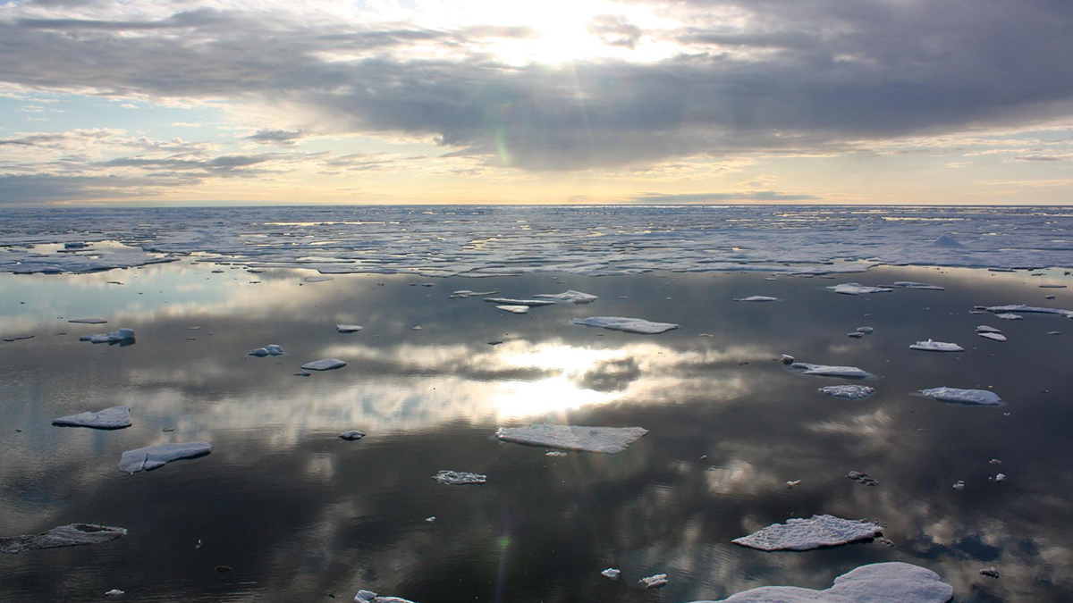
Another Hot Arctic Year Indicates a New Climate Regime
NOAA’s annual Arctic Report Card illustrates a warmer, wetter, and increasingly wonky Arctic climate.

Posted inFeatures
The Arctic’s Uncertain Future
Over the next century, the Arctic will change and look much different than it does today. Just how different is still unknown.