The Landslide Blog is written by Dave Petley, who is widely recognized as a world leader in the study and management of landslides.
The Environmental Protection Authority in Ghana released a statement on 27 February 2025 describing an “environmental incident” at the Beposo Tailings Storage Facility (TSF) at the AngloGold Ashanti mine at Iduapriem Mine. The report indicates that 80,000 cubic metres of water was released from the TSF on 17 February 2025. Lindsay Newland Bowker has been keeping an eye on this event via LinkedIn, but there is a paucity of hard information.
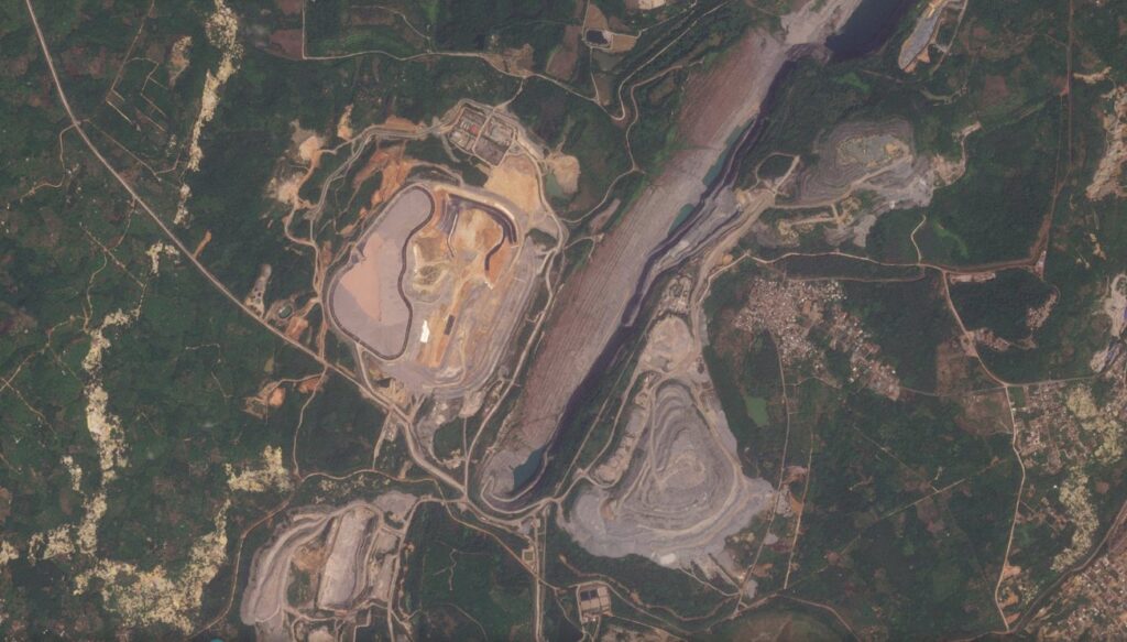
The mine in the area of [5.274, -2.066]. AngloGold Ashanti reported that the Beposos TSF “is on track for commissioning in 2023 and will coincide with the decommissioning of the Greenfields TSF”. As far as I can tell, this is the TSF shown in the Planet image below, which was captured on 27 January 2025:-

There are pictures of the Beposo TSF online, which appear to correspond to the satellite image above.
Note the deep excavation running roughly NNE-SSW across the image, and the new TSF to the west in the centre of the image.
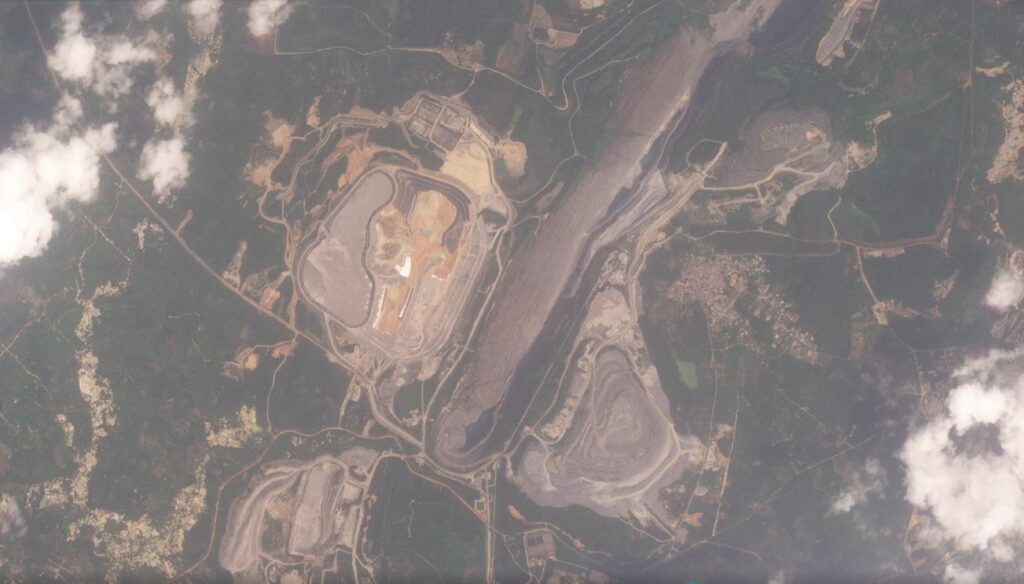
There is also a reasonably good image of the site, captured on 17 February 2025, the day of the spill:-

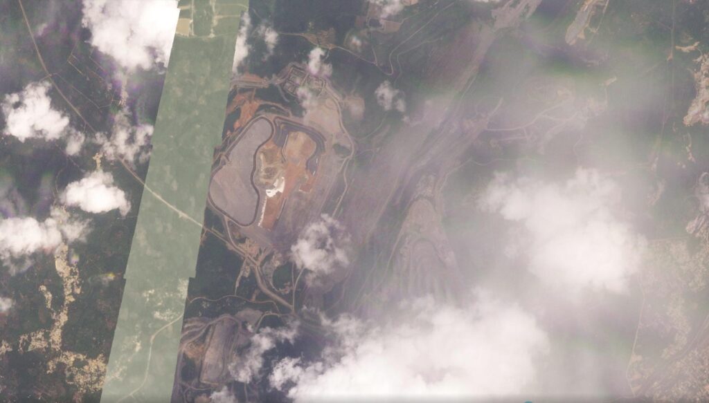
I cannot see any sign of a failure on this image. Intriguingly, there is also one from 20 February, which also shows no obvious change that I can see:-

Note that this is a composite image – the lighter coloured strip is a zone with no imagery that day.
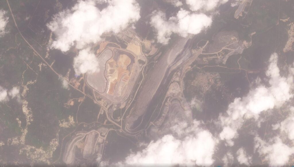
However, an image captured yesterday (3 March 2025) seems to show substantial change:-

Take a look at the area to the northeast of the TSF – there appears to be a plume of material in the fields. This is more clear with a slider:-


Taking a closer look at this area:-

This area of change is about 405 m long (measured from the road at the edge of the TSF) and a maximum of 233 m wide. The surface area is about 4.2 hectares.
There are discrepancies between the Ghana EPA statement and the satellite images, both in terms of timing of the release and the size of the area affected. It is entirely possible that polluted water affected a larger area than can be seen on the images, and of course the release may have occurred over a number of days.
Or, perhaps, the apparent plume in the imagery is not the event being described by the Ghana EPA (in which case, what is it)? The Ghana EPA statement says this:
“The seepage was contained by constructing a coffer dam at the toe of the facility and the supernatant water pumped to the emergency pond”.
Where is the emergency pond? And where is the coffer dam?
It is all rather mysterious. I am not an expert on mining operations, so am unsure as to what the images are showing. Can anyone provide any insight?
Reference
Planet Team (2025). Planet Application Program Interface: In Space for Life on Earth. San Francisco, CA. https://www.planet.com/

