The Landslide Blog is written by Dave Petley, who is widely recognized as a world leader in the study and management of landslides.

Silvan Leinss from Gamma Remote Sensing has very kindly captured and downloaded webcam images from the Corvatsch skiing station on the day of the Piz Scerscen rock avalanche. The camera was pointed at the slope that failed, although unfortunately the position of the sun was a little suboptimal.
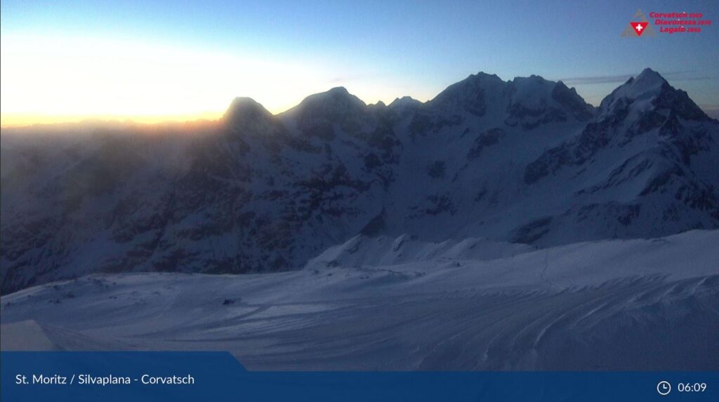
Shortly after the sun rose, at 06:17 local time, the camera captured this image. At this time there was no sign of any landslide activity:-
An image at 06:33 shows (towards the top right corner of the image) some rockfall activity, with a trail of debris onto down the slope and onto the snow. This can be classed as precursory rockfalls, probably indicating that the movement of the mass was accelerating, causing internal deformation:-

At 06:58 the landslide was fully underway. The webcam image captured the landslide travelling down the slope and generating dust:-

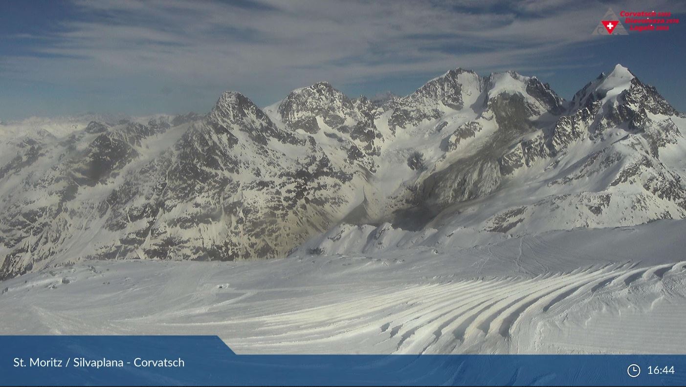
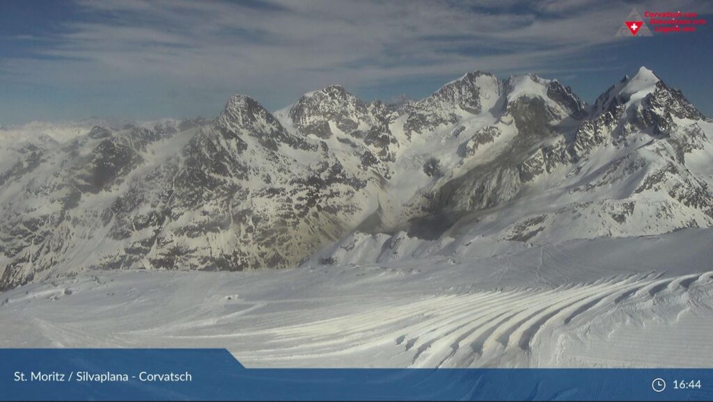
By 07:14 the landslide was finished, but the image is compromised by the sun. The image at 16:44 provides a view of the aftermath of the landslide:-
Meanwhile, on Twitter Mylène Jacquemart has posted a really nice before and after pair of images of the site, also taken from the Corvatsch skiing station, of the upper part of the landslide site:-
The dramatic image of the aftermath of the landslide was tweeted by Matthias Huss:-