
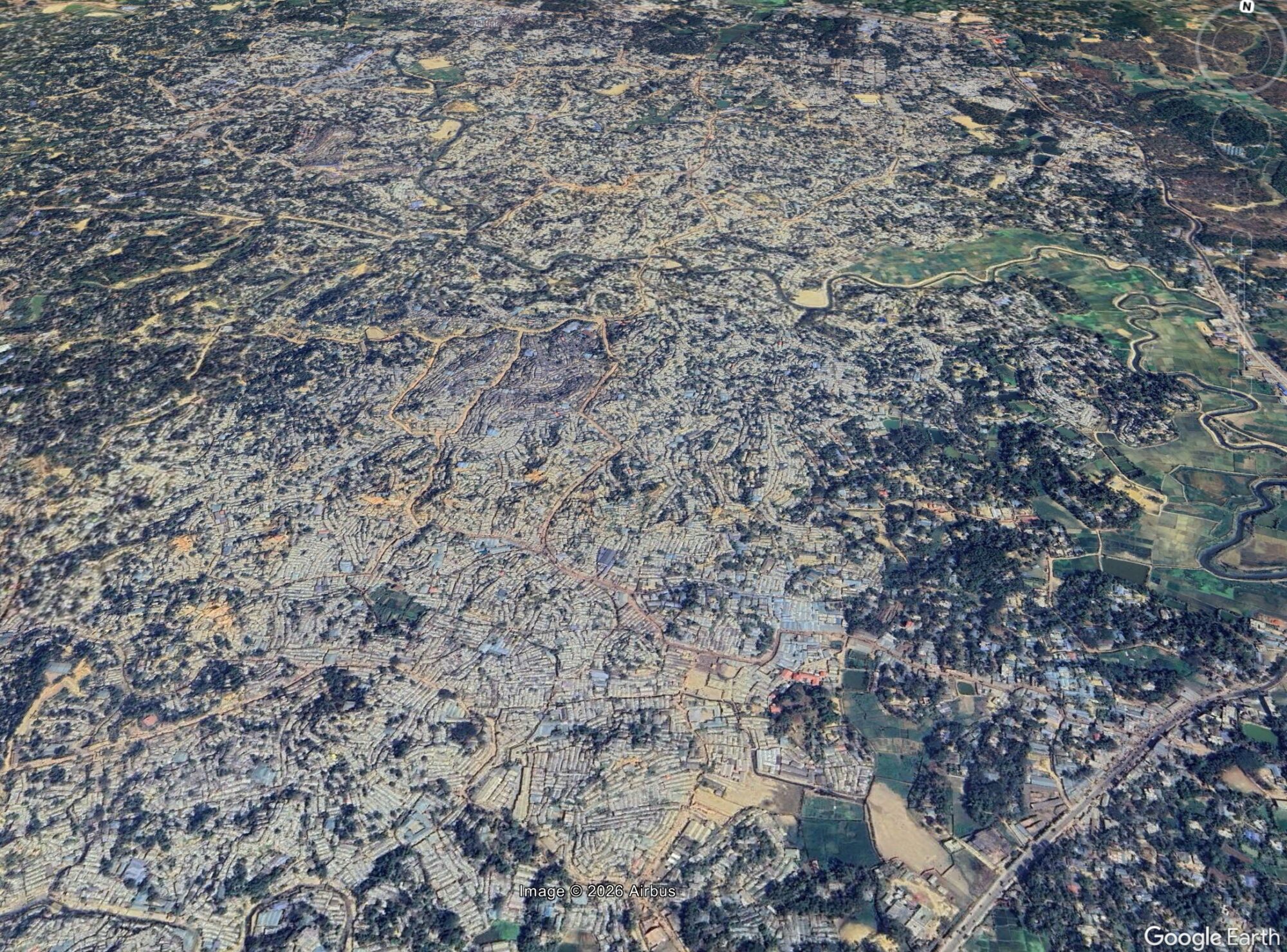
Early in the morning of 6 July 2026, three fatal landslides killed eight people in the refugee camps housing the displaced Rohingya people in Bangladesh.
There have long been fears of the potential for fatal landslides in the refugee camps Cox’s Bazar in Bangladesh that house the Rohingya people who were ethnically cleansed from Myanmar. There have been tragic landslides in recent years, and there have been attempts to mitigate some of the hazards. However, it is well known that the perils remain high.
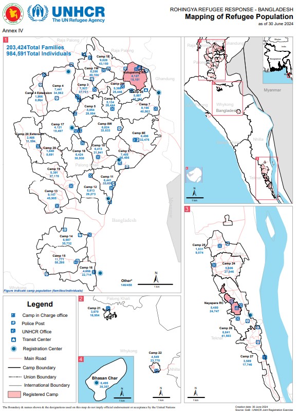
Yesterday (6 July 2026), early in the morning, intense rainfall triggered landslides across three parts of the Ukhiya complex, reportedly affecting Camps 7, 11 and 15. This UNHCR map shows the geography of the camps:
Some news reports have an indication of the distribution of losses from these landslides:-
Camp 7: approximate location [21.2047, 92.1659] – One fatality, a seven-year-old boy.
Camp 15: approximate location [21.1596, 92.1453] – Three fatalities, a married couple and their four-year-old son. Seven people were injured.
Camp 11: approximate location [21.1809, 92.1553] – Four fatalities, a woman and three children, aged 13, 5 and 3. One person was injured.
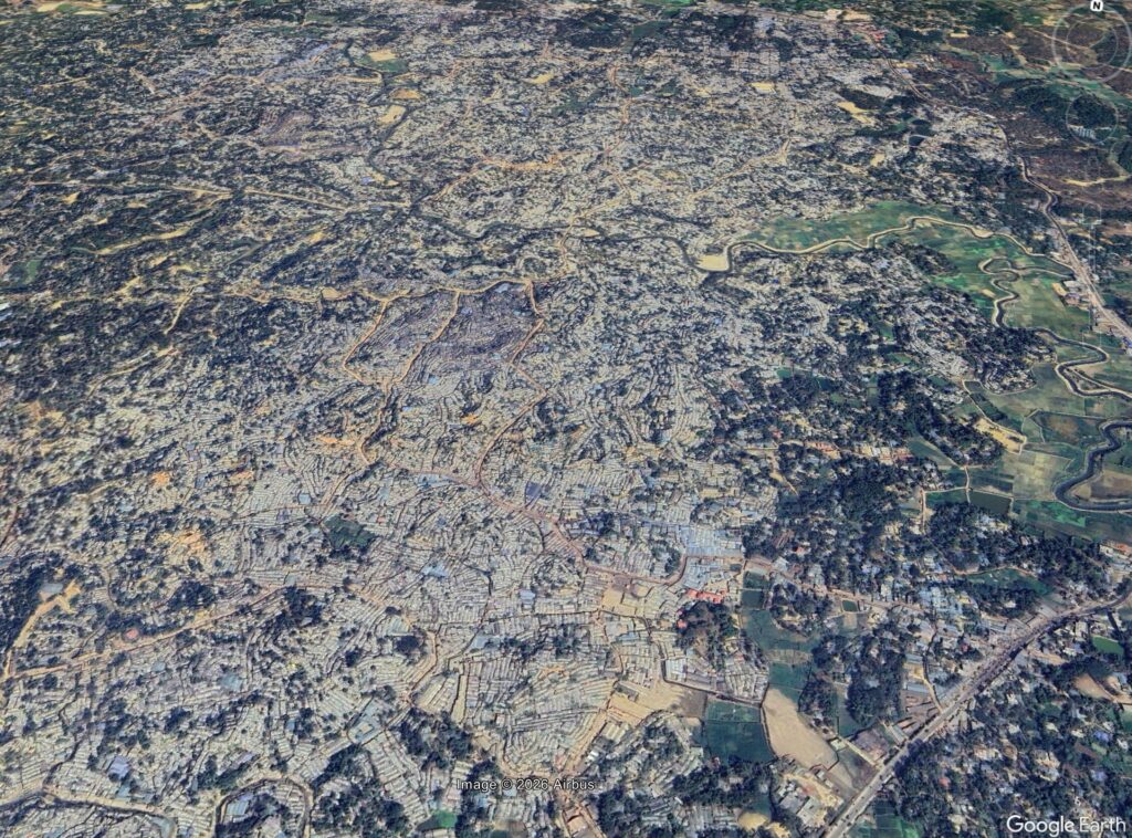
Google Earth images show clearly the incredibly sense settlements in these refugee camps, and the high vulnerability of the population:-
There have been attempts to understand the scale of the landslide risk in the Rohingya camps. Sami et al. (2024) used a formal landslide risk approach to determine that 2.19% of the total area is characterised as being at very high risk and 12.74% at high risk. They highlight that the pressures on the population in the camps are leading to the removal of forest and the cutting of slopes, both of which are exacerbating the high levels of landslide risk.
There is little doubt that I will be writing about landslides in the Rohingya camps again, sadly.
Reference
Sami, Md. S., Hoque, M. A. A., Moniruzzaman, Md., & Pradhan, B. 2025. Spatial landslide risk assessment in a highly populated Rohingya refugee settlement area of Cox’s Bazar, Bangladesh. Asian Geographer, 42 (1), 79–100. https://doi.org/10.1080/10225706.2024.2362638