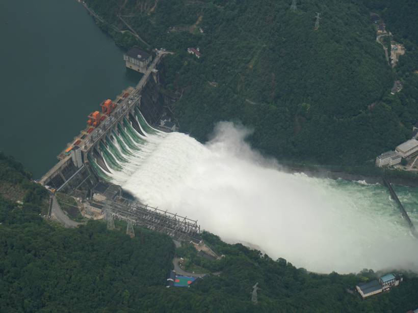
Type “flooding today” into your search engine. You will likely find at least one place battling rising waters somewhere in the world—Mozambique today, Yorkshire yesterday, Hawaii tomorrow. Floods occur when water encroaches on dry land, which can happen during hurricane-induced storm surges or when heavy precipitation (or snowmelt) has nowhere to go. These different flood sources have an important commonality—they all start with weather.
“Weather patterns, which cause flooding, are happening at the global scale,” said Guy Schumann, a flood hydrologist with the University of Colorado Boulder’s Institute of Arctic and Alpine Research, “but impacts of floods are very localized.” Local effects include costs to the economy, displacement of populations, and loss of life.
Schumann and a team of scientists led by Huan Wu, a professor at Sun Yat-sen University in Guangdong, China, developed an innovative flood model linking global precipitation patterns with localized hydrology—where water goes once it finds land. Their work provided useful information to the Chinese Ministry for Emergency Management when record rainfall in 2020 posed an immediate threat—an event that eventually affected 40 million people, according to Wu’s team.
Forecasting Floods Throughout the World
Global flood models approximate the complex relationships between precipitation and local hydrology. Accurate, real-time precipitation data buttress any such model.
“It’s a very complex thing trying to estimate surface rainfall—what’s falling out of the bottom of a cloud—by looking at it from space.”
Some global flood models use satellite-measured precipitation estimates, but according to Bob Adler, an atmospheric scientist at the University of Maryland not involved with Wu’s latest work, “it’s a very complex thing trying to estimate surface rainfall—what’s falling out of the bottom of a cloud—by looking at it from space.” One upgrade in Wu’s calculations, Adler said, is the use of numerous rain gauges China has installed. These gauges can feed accurate, real-time precipitation data into the model to produce high-quality rain forecasts. Such forecasting, said Wu in his paper, “always plays the most important role in driving models.”
If precipitation data and forecasting provide the foundation, hydrology frames the rest of the issue with regional- and local-scale runoff and routing models that follow rain when it hits land. The hydrology component begins with a land surface model that dictates how much water goes into the ground versus how much is available as runoff, said Adler. Then, the runoff goes into a routing model that directs the water downstream, he said, allowing scientists to calculate the total volume of water flowing through a river at a given time.
With this information, Wu and his colleagues can forecast areas likely to be inundated with water—information best visualized as a flood map. Providing these “timely and accurate maps showing current and days-ahead flood risk [is the responsibility of] the international hydrometeorological community,” said Wu and his coauthors in their paper.
As an end user of flood maps, natural hazard mitigation strategist Kevin Zerbe, not part of this study, said that inundation at the spatial resolution Wu provided to the Chinese government—water depth every 5 to 10 meters—is “what’s really missing.” At least in parts of China, Wu found a way to model the hydrology of each watershed that, Zerbe said, “is so unique and ever changing.” According to Zerbe, “those kinds of mapping products would be valuable when it comes to preparing for an oncoming flooding event.”
The Valley of Death
Wu and his team bridged what Schumann called the “valley of death,” or the gap between scientists and end users. By connecting to the national authorities in China, Schumann said, “[Wu] managed to get his model into the hands of the…people who are responsible for acting.”
The metaphorical valley of death can come to life when scientists cannot communicate with decisionmakers, especially in countries that may not be able to make their own flood maps. Global flood models serve a humanitarian purpose, said Schumann, letting agencies like the United Nations rapidly respond to flooding in regions with fewer resources. In particular, Wu and his colleagues call on meteorologists and hydrologists to work together on “glocal” solutions, reflecting the dual nature of the problem.
“History just isn’t as reliable as it once was.”
“We [need] a lot more local information in these global models,” Schumann said, which he explained must include a global high-resolution topographic data set to underlie runoff models and maps of existing local flood defenses—levees, walls, and dams, for example—that control where water flows. The best freely available global digital elevation models of topography have a resolution of 30 meters per pixel, he said, and they’re often outdated because topography changes in regions with active tectonics or flooding. To obtain higher-resolution data, he said, “someone needs to pay for that.”
The need for global models that can accurately forecast flooding several days ahead while providing information at both local and regional scales has never been higher. As the climate warms and exacerbates extreme precipitation events, Zerbe said, flooding events will become more unpredictable. “Climate change is invalidating history as a good indicator of what’s going to happen in the future, and that’s all the more reason that we need really great modeling and simulations and data,” said Zerbe. “History just isn’t as reliable as it once was.”
—Alka Tripathy-Lang (@DrAlkaTrip), Science Writer
Citation:
Tripathy-Lang, A. (2021), Finding “glocal” solutions to flooding problems, Eos, 102, https://doi.org/10.1029/2021EO154215. Published on 03 February 2021.
Text © 2021. The authors. CC BY-NC-ND 3.0
Except where otherwise noted, images are subject to copyright. Any reuse without express permission from the copyright owner is prohibited.