
Clouds are like Earth’s heating and ventilation system: They either cool or warm our climate. Energy and water flowing to the atmosphere dictate the location and density of clouds, and major disruptions to that flow, such as deforestation, can alter the clouds overhead to a surprising degree, new research has shown.
By analyzing 2 decades’ worth of satellite records monitoring clouds in Southeast Asia, researchers found that landscapes stripped of their trees are covered by shallow, or low-lying, clouds more frequently than areas with healthy forests.
About 16% of the forest cover has vanished from the region since 2000, mostly because of urbanization and a dramatic increase in palm oil plantations. Parsing the impact of land surface coverage on clouds is complicated, said atmospheric scientist Gabrielle Leung of Colorado State University. Prior studies based on computer modeling yielded conflicting results. Some suggested that less forest coverage leads to fewer clouds, whereas others suggested the opposite.
“Southeast Asia plays a really important role in global atmospheric circulations.”
Because deforestation is so widespread, these results could affect global climate projections. “Southeast Asia plays a really important role in global atmospheric circulations,” Leung said. “A lot of that control happens from the clouds forming in the tropics.” Leung presented her team’s research in a poster at AGU’s Annual Meeting 2023 in San Francisco.
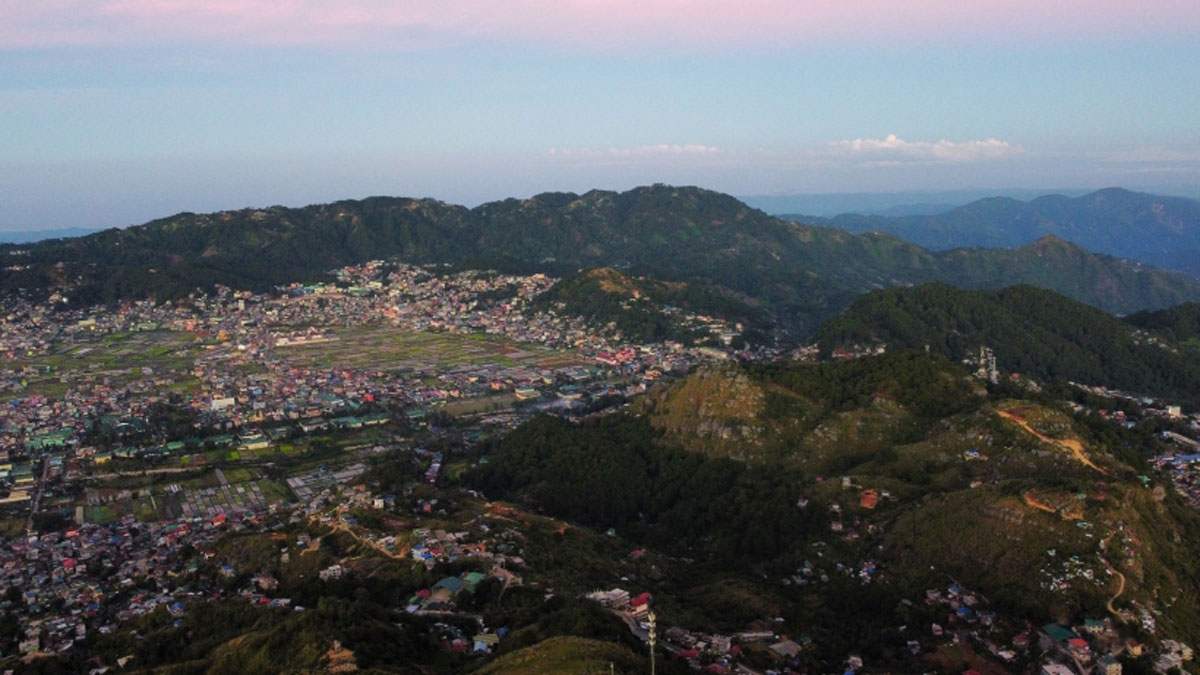
“Even over the course of my life, I could see that there were a lot of changes in the mountains where I grew up,” said Leung, who is from the Philippines. “Seeing those changes really made me want to study more about how they impact the ecosystem and the climate system.”
Spying on Clouds from Orbit
Leung and her colleagues analyzed data collected from 2001 to 2020 by the Moderate Resolution Imaging Spectroradiometer (MODIS) instruments tethered to NASA satellites Aqua and Terra. These instruments orbit 705 kilometers above Earth, passing over the same areas of tropical forests every 16 days. Using this information, the team computed the heights of the clouds and the extent of their land coverage.
By superimposing the MODIS data onto satellite images of forests in Southeast Asia, the researchers could observe how clouds across the region changed as patches of forest disappeared.
“It is important to have those long satellite records that match with other long-term [measurements],” said atmospheric scientist Lazaros Oreopoulos, chief of the Climate and Radiation Lab at NASA’s Goddard Space Flight Center, who was not involved in the study. Studies like this one, which include both spectroradiometry and observational data about factors such as forest loss, could help researchers improve climate models, he said.
Shallow Clouds over Barren Lands
The team’s analysis revealed that the clouds blanketing deforested areas are up to 100 meters closer to the ground than clouds over forested areas. “That’s quite a big signal,” Leung said. During the day, the Sun heats these bare grounds up so rapidly that they draw water vapor inland from the ocean, forming the dreary, low-lying shroud.
“It’s really showing a change in the cloud patterns.”
However, Leung and her coauthors found that the impacts of deforestation on clouds were not the same everywhere, even within Southeast Asia. For example, the cloud response was much more pronounced in dry inland valleys than in coastal regions, Leung said, because the drier areas draw more moisture. In other parts of the world, deforestation coincides with increased atmospheric aerosols, mostly soot particles from forest fire smoke. The cloud distribution in those regions is similar to that in low-aerosol areas, said Leung, but it tends to be less shallow.
As the most critical drivers of rainfall, clouds strongly affect the region’s forest ecosystems, said ecologist Eileen Helmer of the International Institute of Tropical Forestry in Puerto Rico, who was not involved in the study.
“This is going to be a very important study because it’s really showing a change in the cloud patterns,” Helmer said. The influence on rainfall will vary depending on the cloud types and their water content, she said. Future studies may investigate the thickness and water content of these clouds to understand their influence on rain.
—Kristel Tjandra (@KristelTjandra), Science Writer
17 January 2024: This article has been updated to correct the location of the International Institute of Tropical Forestry.