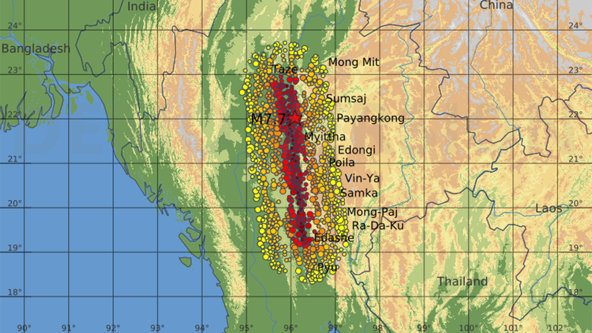
It took only 1.3 seconds for the Sagaing Fault to open a gash in Earth’s surface and shift it by 2.5 meters during the magnitude 7.7 Myanmar earthquake earlier this year. When video surveillance some 120 kilometers south of the earthquake’s epicenter caught the moment, the footage sent a shock wave of excitement through the global seismology community.
How Earthquakes Move Along a Fault
Seismologists have long understood that a fault doesn’t rupture all at once. Instead, it experiences a traveling, localized zone of slip, said David Wald, a geophysicist at the U.S. Geological Survey in Golden, Colo., who was not involved in the new research.
Wald’s work on the 1992 magnitude 7.2 Landers earthquake in California helped to establish that earthquakes propagate in pulses. But this work was “always a step removed from reality, modeling the rupture propagation process” as opposed to watching it in real time, he said.
“Seeing is believing.”
“Seeing is believing,” Wald said of the Myanmar footage. “We were all blown away by the video, which confirms how a short slip duration, large slip, and thus high slip velocity produce a large pulse of ground shaking.”
Analysis of the Myanmar earthquake video showed that the traveling slip zone was only several kilometers wide, even though the earthquake ultimately ruptured a more than 400-kilometer-long section of the fault. Pulse-like rupture is a more efficient way to move Earth’s massive crust, Kaneko noted. “This video provides the first visual confirmation of it occurring in real time.”
Although crumpled landscapes left by earthquakes have shown that seismic ruptures can cause permanent offsets of many meters, until now it wasn’t clear whether that movement happens within 1 or 2 seconds. “The historic record shows the offset but not how quickly that happened,” Kearse said. “It’s becoming clear that these pulse-like ground motions are really large amplitude, meters per second of ground velocity. For large buildings, that’s very difficult to engineer for.”
Curved Slip
The video analysis was challenging because ground shaking caused the camera to tilt and wobble. But Kearse and Kaneko managed to isolate the fault motion by systematically analyzing stationary targets in the footage. To their surprise, they watched the slip curve before it settled into horizontal motion.
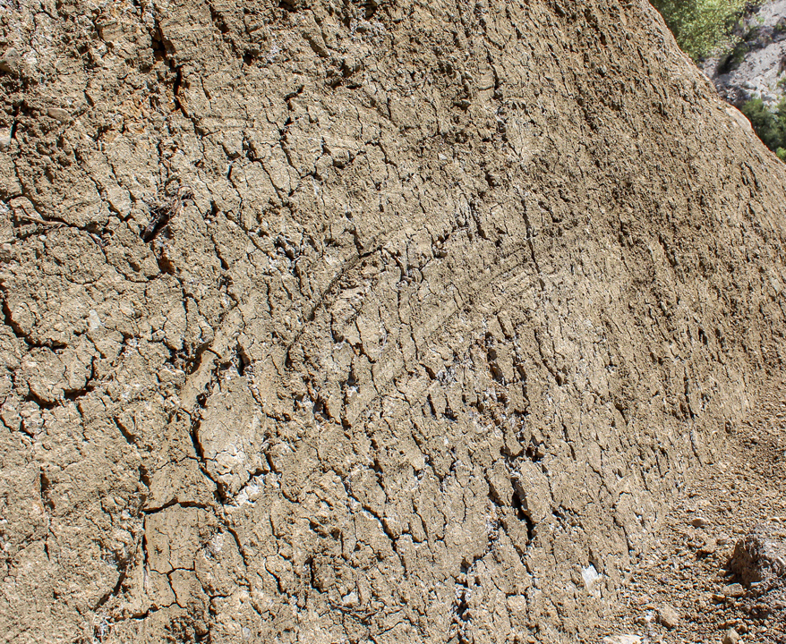
Geologists know that earthquakes leave curved scratch marks known as slickenlines on fault surfaces. In a previous study, Kearse and his colleagues described these grooves on exposed surfaces of the Kekerengu Fault, one of several that ruptured in New Zealand’s 2016 magnitude 7.8 Kaikōura earthquake. When they fed those data into a model, the team found a link between the curvature of slickenlines and the direction that a fault ruptured.
The analysis of the Myanmar earthquake footage delivered real-time evidence of this connection between slip curve and rupture direction. “What our new study contributes is a quantitative analysis of both the speed and direction of the curved slip while the rupture is actively unfolding,” Kaneko said.
The research “fortifies the slickenline story.”
The research “fortifies the slickenline story” and may help seismologists better anticipate the ground shaking likely to occur in future events, said John Vidale, an Earth scientist at the University of Southern California. This understanding is particularly important for faults with the potential to rupture in massive earthquakes, including California’s San Andreas Fault and New Zealand’s Alpine Fault. Such earthquakes would affect major population centers differently, depending on the direction in which the earthquake traveled.
The Myanmar video also highlights the potential of autonomous cameras as tools in seismology, according to Haiyang Kehoe, an Earth scientist who will be joining the University of Oregon in December. “The proliferation of home security systems and traffic cameras increases the likelihood that some portions of future earthquake ruptures will be recorded with a similar amount of clarity.”
For Laura Wallace, a geodetic scientist at the University of Texas and the GEOMAR Helmholtz Centre for Ocean Research Kiel in Germany, the work opens new potential for using slickenlines from paleoearthquakes to investigate whether a particular fault has a tendency to rupture in one direction or another. “Such insights would provide important information for future seismic hazard forecasts.”
—Veronika Meduna (@veronikameduna.bsky.social), Science Writer