• About
  • Sections
  • Topics
    • Climate
    • Earth Science
    • Oceans
    • Space & Planets
    • Health & Ecosystems
    • Culture & Policy
    • Education & Careers
    • Opinions
  • Projects
    • Postcards From the Field
    • ENGAGE
    • Editors’ Highlights
    • Editors’ Vox
    • Eos en Español
    • Eos 简体中文版
    • Print Archive: 2015–2025
  • Science Policy Tracker
  • Blogs
    • Research & Developments
    • The Landslide Blog
  • Newsletter
  • Submit to Eos
  • AGU.org
  • Career Center
  • Join AGU
  • Give to AGU
  • About
  • Sections
  • Topics
    • Climate
    • Earth Science
    • Oceans
    • Space & Planets
    • Health & Ecosystems
    • Culture & Policy
    • Education & Careers
    • Opinions
  • Projects
    • Postcards From the Field
    • ENGAGE
    • Editors’ Highlights
    • Editors’ Vox
    • Eos en Español
    • Eos 简体中文版
    • Print Archive: 2015–2025
  • Science Policy Tracker
  • Blogs
    • Research & Developments
    • The Landslide Blog
  • Newsletter
  • Submit to Eos
Skip to content
  • AGU.org
  • Career Center
  • Join AGU
  • Give to AGU
Eos

Eos

Science News by AGU

Support Eos
Sign Up for Newsletter
  • About
  • Sections
  • Topics
    • Climate
    • Earth Science
    • Oceans
    • Space & Planets
    • Health & Ecosystems
    • Culture & Policy
    • Education & Careers
    • Opinions
  • Projects
    • Postcards From the Field
    • ENGAGE
    • Editors’ Highlights
    • Editors’ Vox
    • Eos en Español
    • Eos 简体中文版
    • Print Archive: 2015–2025
  • Science Policy Tracker
  • Blogs
    • Research & Developments
    • The Landslide Blog
  • Newsletter
  • Submit to Eos

F. Mandarino

Rodrigo de Freitas Lagoon
Posted inScience Updates

Earth Observations Inform Cities’ Operations and Planning

by M. M. Hurwitz, C. Braneon, D. B. Kirschbaum, F. Mandarino and R. Mansour 16 July 202031 March 2023

Rio de Janeiro, Brazil, and Chicago, Ill., are using NASA Earth observations to map, monitor, and forecast water and air quality, urban heat island effects, landslide risks, and more.

Representatives from NYC and Rio look at the 2012 high-water mark from Hurricane Sandy at New York’s Battery Park.
Posted inScience Updates

Cities Partner to Prepare for Natural Hazards and Climate Change

by M. M. Hurwitz, F. Mandarino and D. B. Kirschbaum 18 July 201720 March 2023

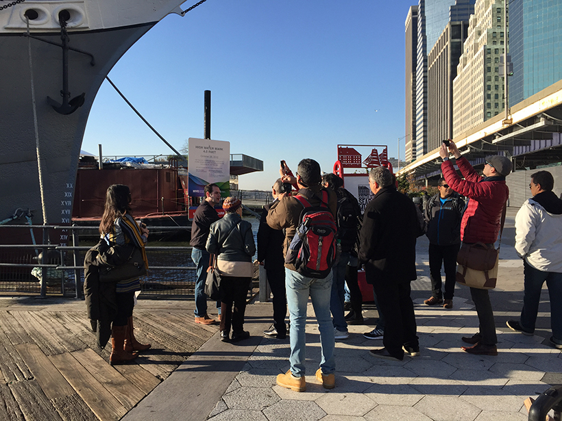
NASA-Rio-UCCRN Workshop on Sea Level Rise, Urban Heat Islands, and Water Quality; New York, 14–16 November 2016

A view of a bridge, with the New Orleans skyline visible in the distance between the bridge and the water. A purple tint, a teal curved line representing a river, and the text “#AGU25 coverage from Eos” overlie the photo.

Features from AGU Publications

Research Spotlights

AI Sheds Light on Hard-to-Study Ocean Currents

14 January 202614 January 2026
Editors' Highlights

Detecting Remagnetization with Quantum Diamond Microscopy

15 January 20269 January 2026
Editors' Vox

Hydrothermal Circulation and Its Impact on the Earth System

3 December 20253 December 2025
Eos logo at left; AGU logo at right

About Eos
ENGAGE
Awards
Contact

Advertise
Submit
Career Center
Sitemap

© 2026 American Geophysical Union. All rights reserved Powered by Newspack