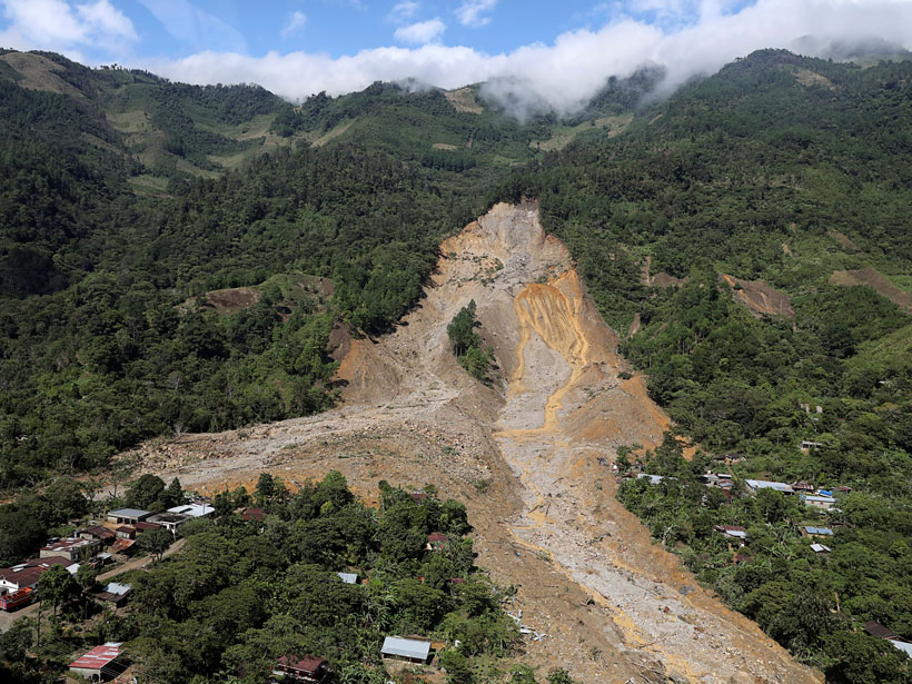
Extreme precipitation can trigger deadly landslides. Satellite-based tools provide regional perspectives on landslide hazards, help assess risks in near-real time, and guide emergency responses.
D. B. Kirschbaum

Posted inScience Updates
Earth Observations Inform Cities’ Operations and Planning
Rio de Janeiro, Brazil, and Chicago, Ill., are using NASA Earth observations to map, monitor, and forecast water and air quality, urban heat island effects, landslide risks, and more.