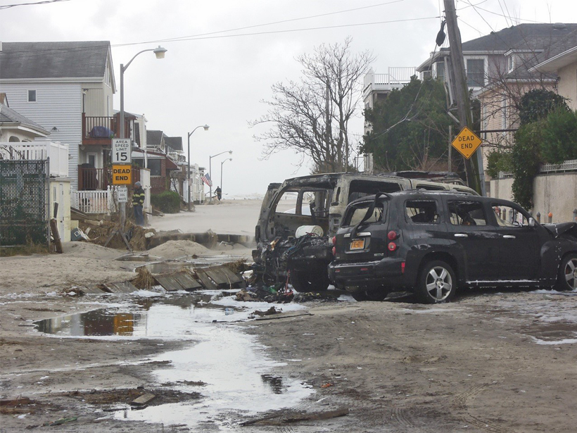
NOAA/Sea Grant Coastal Storm Awareness Program (CSAP ) Final Workshop; Newark, New Jersey, 26–27 May 2015
Science Updates
Posted inScience Updates
Breaking Internal Tides Keep the Ocean in Balance
By studying how underwater waves strike the continental slope off Tasmania, researchers seek to uncover the mechanisms that keep the circulation of the global ocean in balance.
Posted inScience Updates
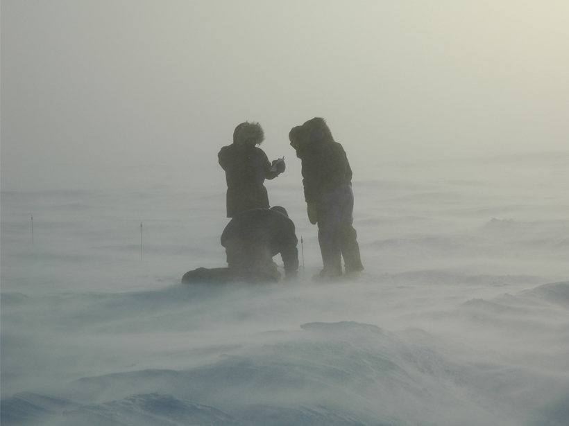
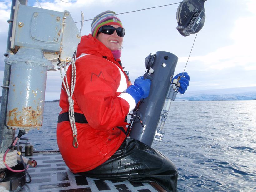
Improving Representation of Snow on Sea Ice in Climate Models
Snow on Sea Ice Workshop; Barrow, Alaska, 29 April to 1 May 2015

Posted inScience Updates
Better Forecasting for the Next Volcanic Eruption
The Eruptive Precursors project in Campi Flegrei, Italy, seeks to understand conditions leading to caldera eruptions.
Posted inScience Updates
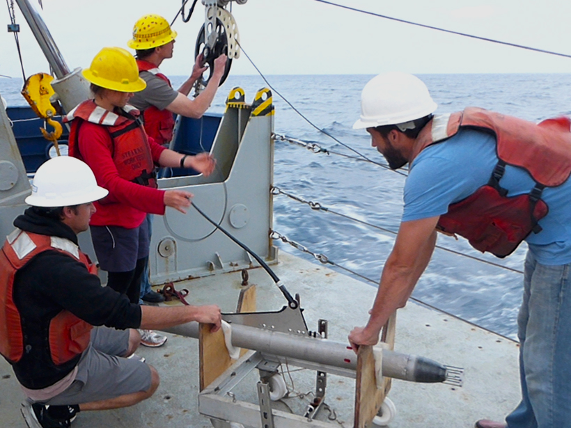
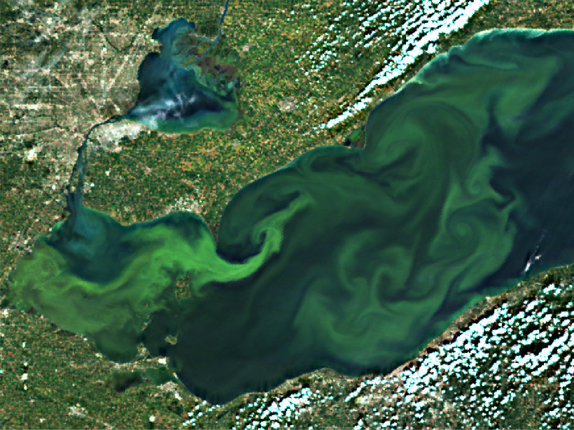
Agencies Collaborate, Develop a Cyanobacteria Assessment Network
An integrated, holistic approach to detecting and characterizing cyanobacteria blooms could reduce human health risks and better direct field resources.

Posted inScience Updates
Setting the Stage for a Global Science of Atmospheric Rivers
The Scripps Institution of Oceanography International Atmospheric Rivers Workshop; La Jolla, California, 15–17 June 2015
Posted inScience Updates
Teaching the Art and Science of Getting Research Funding
National Science Foundation–funded EDventures program delivers successful training in proposal writing to graduate students and postdocs.

Posted inScience Updates
Advancing Scenario Planning for Climate Decision Making
Scenario Planning for Climate Adaptation Decision Making; Tucson, Arizona, 31 March to 1 April 2015

Posted inScience Updates
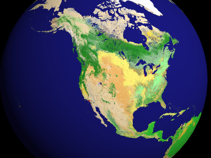
GREAT ICE Monitors Glaciers in the Tropical Andes
An international program strengthens glaciological studies in the tropical Andes, promotes collaborative projects, and develops educational programs with local universities.
Posted inScience Updates
Integrating Carbon Cycle Research into Decision-Making Processes
North American Carbon Program Principal Investigators Meeting; Washington, D. C., 26–29 January 2015