Editors’ Highlights are summaries of recent papers by AGU’s journal editors.
Source: Journal of Geophysical Research: Machine Learning and Computation
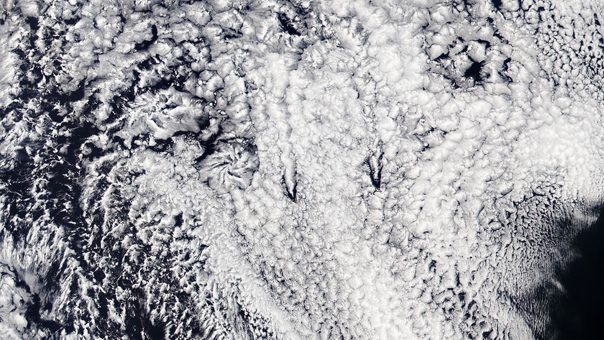
Low-lying clouds over the oceans are of key relevance for understating climate dynamics as they effectively reflect sunlight that otherwise would be absorbed by the ocean. Satellite data are a central pillar of the ongoing quest to better understand such clouds and the physical mechanisms governing their evolution.
In their new study, Tian et a. [2025] utilize a focused exploitation of a complementary source of data—long time series of ground-based radar observations—by means of machine learning. Established, satellite-based cloud categories can be reliably identified in the radar data. This then allows us to contextualize the wealth of additional information contained in the radar data, from cloud height to cloud droplet number concentrations. This study thus expands the observational data on low-level clouds that can be jointly exploited. One application that will potentially benefit from this work is the above-mentioned quest for a better physical understanding of low-level clouds.
Citation: Tian, J., Comstock, J., Geiss, A., Wu, P., Silber, I., Zhang, D., et al. (2025). Mesoscale cellular convection detection and classification using convolutional neural networks: Insights from long-term observations at ARM Eastern North Atlantic site. Journal of Geophysical Research: Machine Learning and Computation, 2, e2024JH000486. https://doi.org/10.1029/2024JH000486
—Doris Folini, Editor, JGR: Machine Learning and Computation

