To better understand mountain building and the earthquake occurrence in a given region, it is important to know detailed information about the region’s tectonics and deformation patterns. In the Pamir Mountains—which lie northwest of Tibet and extend across Afghanistan, China, Kyrgyzstan, Pakistan, and Tajikistan— researchers had only used data from the largest seismic events to characterize the underlying tectonic activity. Schurr et al. now go further to better understand the Pamir Mountains by studying lower-energy seismic activity in its more recent past.
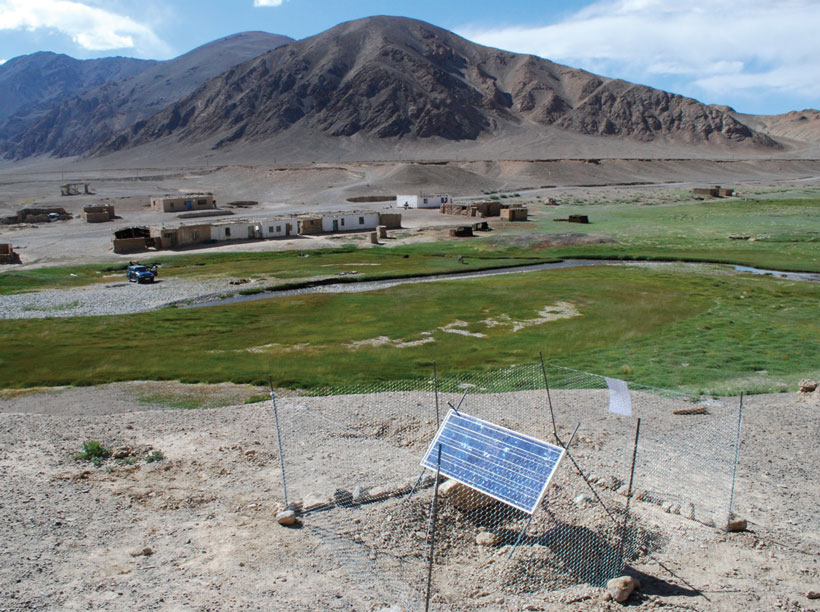
The authors took 2 years of seismic data from temporarily and permanently installed instruments and geologic and remote sensing data from across the region to create a tectonic map describing deformation over the past 50 million years. The authors also employed a new three-dimensional velocity model to precisely locate the more than 6000 seismic events across Pamir; they were able to constrain the source mechanism for 132 of them.
The authors found significant north-south shortening and a westward increasing amount of east-west extension across the region, which they note can be explained by the collapse of the region’s western margin and by lateral extrusion westward into the Tajik-Afghan depression. Such findings will be an important baseline for future research of the geologic evolution of the Pamir Mountain ranges. (Tectonics, doi:10.1002/2014TC003576, 2014)
—JoAnna Wendel, Staff Writer
Citation: Wendel, J. (2015), Mapping seismic activity in the Pamir Mountains, Eos, 96, doi:10.1029/2015EO023657. Published on 10 February 2015.
Text © 2015. The authors. CC BY-NC 3.0
Except where otherwise noted, images are subject to copyright. Any reuse without express permission from the copyright owner is prohibited.