
Periodic pulses of cooler temperatures may have disrupted the warm, humid, late Miocene climate that sustained the region’s great apes long after most species disappeared elsewhere.
Research Spotlights
Research spotlights are plain-language summaries of recent articles published in AGU’s suite of 24 journals.

Posted inResearch Spotlights
How to Improve Space Weather Forecasting
The field of space weather forecasting could take cues from its Earthly counterpart to increase the reliability of models as well as warning times ahead of inbound solar storms.
Posted inResearch Spotlights
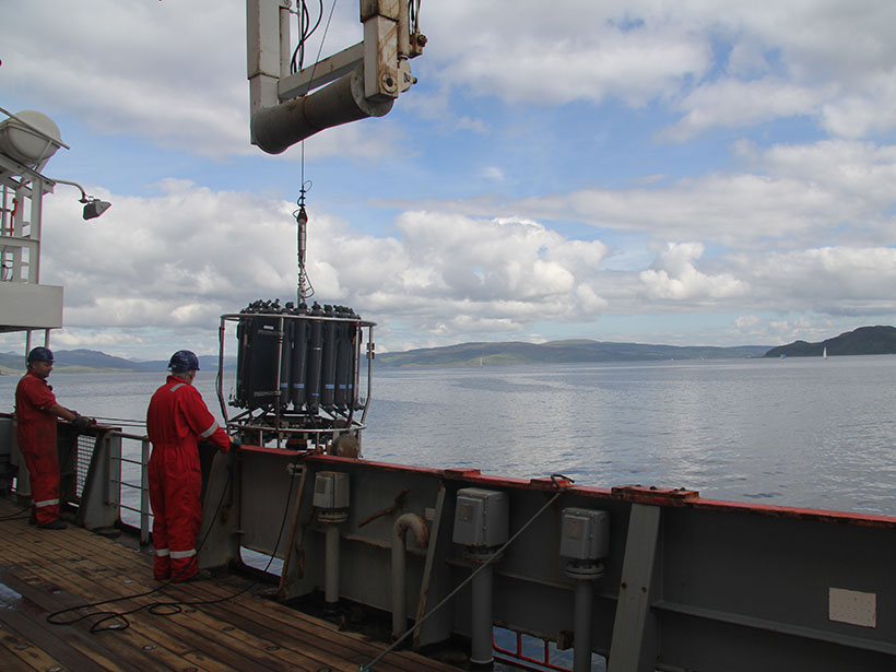
Marine Nitrous Oxide Emissions off Northwest Europe
Continental shelves and estuaries are natural sources of nitrous oxide, but current global estimates of these emissions carry a lot of uncertainty, a problem that calls for regional studies.

Posted inResearch Spotlights
El Ciclo del Carbono en el Agujero Azul Más Profundo de la Tierra
Científicos encuentran nuevos extremos mientras investigan el ciclo del carbono en el agujero azul de Yongle.

Posted inResearch Spotlights
A First Look at Elusive Deep-Ocean Carbon Molecules
A new analytical technique enables direct analysis of dissolved organic carbon molecules that store carbon in the ocean for thousands of years.

Posted inResearch Spotlights
How Does a Greening Arctic Affect Groundwater Recharge?
New research examines how shifts in aboveground ecology influence belowground hydrology in the Arctic.

Posted inResearch Spotlights
Improving Atmospheric Forecasts with Machine Learning
An efficient, low-resolution machine learning model can usefully predict the global atmospheric state as much as 3 days out.

Posted inResearch Spotlights
Tracking Tropospheric Ozone Since 1979
Stratospheric ozone depletion between 1979 and 2010 resulted in a slight decrease of ozone in the troposphere during that period despite increased ozone production from anthropogenic emissions.

Posted inResearch Spotlights
How Much Modification Can Earth’s Water Cycle Handle?
The planetary boundaries framework defines how much human disturbance various Earth system processes can take, but it may not adequately depict the water cycle or the extent to which we’ve altered it.
Posted inResearch Spotlights
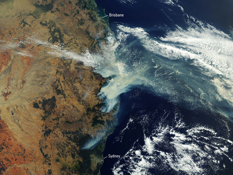
A Revised View of Australia’s Future Climate
The most recent generation of models of the Coupled Model Intercomparison Project better captures rainfall drivers, extreme heat events, and other facets of regional climate.