Source: Water Resources Research
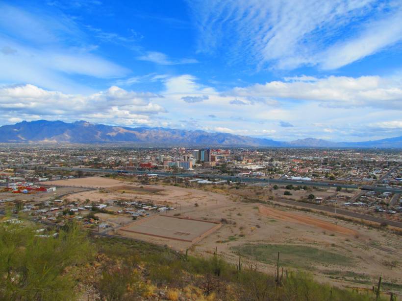
In many semiarid and arid regions around the world, groundwater drawn from basin-fill aquifers sustains local agriculture and large cities. Such aquifers are typically replenished by high-elevation precipitation and snowmelt along encircling mountain fronts via several pathways. These pathways include infiltration from streams, diffuse subsurface flow from the mountains to the basin, and focused subsurface flow along features like faults. Distinguishing among these various means of mountain front recharge is necessary to effectively manage aquifers’ limited water supplies, but it can be challenging because the waters moving through different paths can be difficult to sample and often have similar chemical fingerprints.
Now Markovich et al. show that a combination of techniques can be used to address these challenges. Because the various components of mountain front recharge can differ substantially in terms of flow velocity, the distance the water travels, and the elevation at which recharge occurs, the team hypothesized that groundwater age dating, combined with thermometric methods and numerical modeling, could be used to distinguish between them. To test this approach, the team applied a suite of techniques, including noble gas and isotopic tracers such as radiocarbon, krypton-85, argon-39, and tritium, to characterize the groundwater pumped from six wells in Arizona’s northern Tucson Basin.
The tracers indicated the presence of very old water in one well located in weathered bedrock near the mountain front, as well as modern water mixed with a small percentage of older water in two basin production wells. Collectively, the authors say, the results indicate that this multifaceted approach can be used to characterize the sources of groundwater and dominant flow behavior in basin-fill aquifers and that this information can, in turn, be used to quantify both the subsurface and the surface components of mountain front recharge. Because climate change may affect the amount and timing of each recharge component in different ways, this approach represents an important step forward in obtaining the data needed to sustainably manage these crucial water sources in the present and future climates. (Water Resources Research, https://doi.org/10.1029/2020WR027743, 2021)
—Terri Cook, Science Writer
Citation:
Cook, T. (2021), Parsing routes to aquifer recharge along mountain fronts, Eos, 102, https://doi.org/10.1029/2021EO154358. Published on 08 February 2021.
Text © 2021. AGU. CC BY-NC-ND 3.0
Except where otherwise noted, images are subject to copyright. Any reuse without express permission from the copyright owner is prohibited.
Text © 2021. AGU. CC BY-NC-ND 3.0
Except where otherwise noted, images are subject to copyright. Any reuse without express permission from the copyright owner is prohibited.