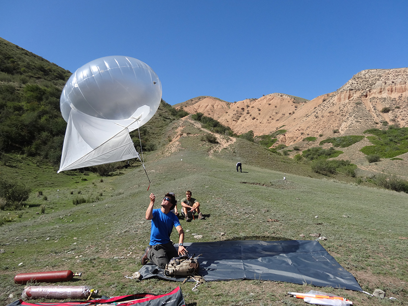
Source: Journal of Geophysical Research: Solid Earth
On 11 July 1889, a magnitude 8.0–8.3 earthquake rocked what is now southeastern Kazakhstan. It originated near the Chilik River and wreaked havoc on the nearby city of Almaty. The Chilik event is one of the largest documented earthquakes occurring far from a tectonic plate boundary. Despite its size, researchers have puzzled for years over what might have triggered the tremor.
Now, 126 years after it struck, Abdrakhmatov et al. have uncovered important new clues to the mystery of the quake’s origins. Using fieldwork and satellite data, they propose that ground surface ruptures along three separate faults occurred during the 1889 Chilik earthquake.
The Chilik quake was actually one of several that hit the northern part of the Tien Shan region between 1885 and 1911, shaking Almaty and the nearby city of Bishkek. The mountainous area is crisscrossed with faults, with at least one potentially passing straight through Almaty. From historical reports of damage, the epicenter of the quake is thought to have been located about 100 kilometers southeast of Almaty at a depth of 40 kilometers.
The 1889 earthquake should have produced visible ruptures in the landscape, like a major 1911 tremor in the area did. However, scientists couldn’t find any visible fault scarps long enough to be associated with the event. The team reexamined three visible ruptures that other scientists had previously linked to the quake, despite their relatively short lengths.
The researchers used a variety of techniques to explore the ruptures, which occurred along three different faults. Satellite imagery, aerial photography, GPS data, radiocarbon dating, examination of materials in dug trenches, and infrared stimulated luminescence dating all suggested that all three rupture features may have formed during the 1889 Chilik earthquake.
Together, the ruptured distances add up to at least 175 kilometers, close to the 200- to 300-kilometer rupture length expected for magnitude 8 earthquakes. The authors say that additional rupture segments may remain undiscovered.
Dating materials at one of the faults suggested that no other earthquake had produced a surface rupture there for at least 5000 years before the 1889 tremor. Such a long time between quakes is consistent with other studies of large quakes within continental interiors, far from any tectonic plate boundaries.
The potentially long interval between earthquakes along hard-to-identify faults raises concerns about pinpointing potential hazards in the area. Earthquakes similar to the Chilik event would pose a serious threat to nearby structures and communities, including the 2 million residents of Almaty. (Journal of Geophysical Research: Solid Earth, doi:10.1002/2015JB012763, 2016)
—Sarah Stanley, Freelance Writer
Citation:
Stanley, S. (2016), Tracking down elusive origins of Kazakhstan’s 1889 Chilik quake, Eos, 97, https://doi.org/10.1029/2016EO056029. Published on 22 July 2016.
Text © 2016. The authors. CC BY-NC-ND 3.0
Except where otherwise noted, images are subject to copyright. Any reuse without express permission from the copyright owner is prohibited.

