One of the main scientific goals of the EarthScope transportable array is to investigate the structure, dynamics, and tectonic history of the North American continent. But what about South America?
A developing collection of national broadband seismic networks is beginning to populate the South American continent.
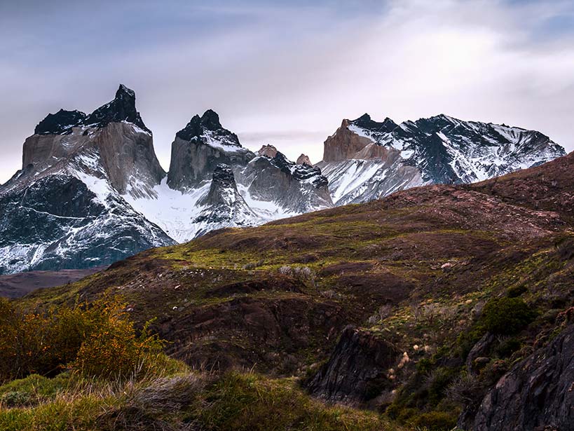
Although South America does not have the seismic station distribution and near-real-time data access associated with a transportable array, a developing collection of national broadband seismic networks is beginning to populate the South American continent. In addition, there have been a large number of portable broadband deployments producing seismic data across South America.

The recent increase in instrumentation paired with growing interest from individual network operators to expand the scope of their seismic research capabilities has opened up the possibility of new collaborations with U.S. research institutions. With the ambitious goal of extending the recent seismic imaging successes of EarthScope to the South American continent, the Multiscale Imaging of Modern Orogenic South America (MIMOSA) project, funded by the U.S. National Science Foundation, aims to develop these mutually beneficial international collaborations.
As part of the MIMOSA project, researchers from five South American countries along with other visiting researchers from around the world gathered at the University of Arizona in January for a weeklong workshop on ambient noise tomography (ANT). A seismic imaging technique refined by scientists working on EarthScope, ANT methods allow scientists to use low-amplitude background seismic noise to create images of the crust and uppermost mantle at depth. Because no earthquake source is needed, the technique can produce accurate cross sections from local to unprecedented continental scales.

Workshop participants included a wide range of scientists at different career stages, including seismic network operators, graduate students, postdoctoral researchers, and professors. Time spent during the workshop was split between presentations focusing on developing an understanding of the ANT methodology and work time for the participants to apply what they learned to their own data sets. Additionally, the International Development Seismology section of the Incorporated Research Institutions for Seismology (IRIS) included a presentation that helped make all participants aware of the services and potential collaborations available from the IRIS community.
The workshop concluded with all participants having a fundamental understanding of the ANT method and the ability to continue applying this method at their home institutions. To extend the ANT method across the South American continent, participants were encouraged to seek out additional collaborations with neighboring countries.
In view of the recent increase in broadband seismic networks in South America and growing interest among their operators, attendees agreed that more of these kinds of workshops are needed. A unique opportunity exists for researchers to cultivate this growing scientific interest through mutually beneficial international collaborations, leading to a better understanding of the geodynamic and tectonic history of the South American continent.
References
Ward, K. M., R. C. Porter, G. Zandt, S. L. Beck, L. S. Wagner, E. Minaya, and H. Tavera (2014), Erratum: Ambient noise tomography across the central Andes, Geophys. J. Int., 196, 1264–1265, doi:10.1093/gji/ggt429.
—Kevin M. Ward, Jonathan R. Delph, and Susan L. Beck, Geosciences Department, University of Arizona, Tucson; email: [email protected]
Citation: Ward, K. M., J. R. Delph, and S. L. Beck (2016), Extending recent seismic imaging successes to South America, Eos, 97, doi:10.1029/2016EO051271. Published on 28 April 2016.
Text © 2016. The authors. CC BY-NC-ND 3.0
Except where otherwise noted, images are subject to copyright. Any reuse without express permission from the copyright owner is prohibited.