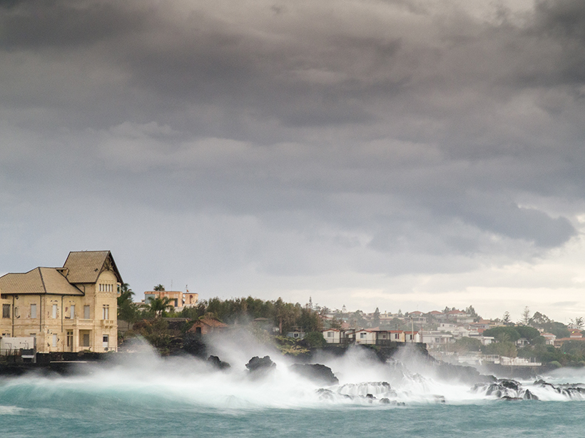
Satellite radars provide “eyes in the sky” for tracking coastal subsidence, sea level rise, and great undulating waves that travel across the world’s oceans, using the travel time of reflected radar signals to measure the height of land and water surfaces. Such altimetry has been supporting oceanographic studies since the end of 1970s. Since then, continuous improvement in data processing and the recent progress in technology have made it possible to study coastal zones using data products with a spatial resolution as fine as 300 meters.
High-resolution products made available by SAR altimetry technology have demonstrated that it is possible to enhance the quality and quantity of the altimetric record close to the coast.
Coastal altimetry has achieved important milestones in recent years, including new radar waveform processing strategies and improved geophysical corrections. High-resolution products made available by synthetic aperture radar (SAR) altimetry technology, adopted in CryoSat-2 and Sentinel-3 missions, have demonstrated that it is possible to enhance the quality and quantity of the altimetric record close to the coast. SAR altimetry missions are boosting new developments in fields that exploit the quality of high-resolution products for sea surface topography, wave height, and wind speed.
To review recent progress in and discuss future plans for altimetry technology at coasts, 88 scientists from 28 countries met at the 11th Coastal Altimetry Workshop earlier this summer. The workshop included a coastal altimetry training course for students and young researchers.
Key topics discussed at the workshop covered five themes:
- data processing
- corrections, calibration, and products
- application of coastal altimetry data
- sea level, currents, and data assimilation
- synergistic and climate studies
Presenters also gave extensive reviews of synergies among coastal altimetry data, in situ observations, and models.
Presenters underlined the potential of new available platforms, like the European Space Agency (ESA) Thematic Exploitation Platform (TEP), the European Union Coastal Waters Research Synergy Framework (CO-RESYF), and the ESA Grid Processing on Demand (GPOD) processing suite, along with the benefits brought by the Adaptive Leading Edge Subwaveform (ALES) retracker, the Center for Topographic Studies of the Ocean and Hydrosphere’s Along-Track Sea Level Anomalies regional products (X-TRACK), and the Data Unification and Altimeter Combination System (DUACS) multimission altimetry data sets.
The associated coastal-dedicated reprocessing strategies marked a significant advancement, as they make it possible to greatly reduce the amount of noise in data products derived from high-quality altimetric time series provided in the past 25 years by advanced altimeters.
Reprocessed data can change our knowledge of small-scale ocean dynamics and the local circulation of the coastal ocean.
As a result, these reprocessed data can change our knowledge of small-scale ocean dynamics and the local circulation of the coastal ocean. The workshop recommended the coastal-dedicated reprocessing of CryoSat-2 and Sentinel-3 data: Such reprocessing will produce improved data sets, composed of a greater number of valid estimates close to the coast, that can be then assimilated into ocean models.
Many contributions also focused on the Surface Water and Ocean Topography (SWOT) mission due to launch in 2021. The mission will allow scientists to stretch their analysis capabilities; for example, participants proposed and vetted methods that could be used to reconstruct submesoscale surface currents from altimetric or simulated high-resolution sea surface heights. Attendees agreed that more studies are needed to investigate the full potential of SWOT data.
Final recommendations from the workshop include the following:
- development of a unique standard global multimission coastal altimetry product, which will improve data usage by coastal oceanographers
- more investigation of how closely variability and changes in sea level and sea state at the coast reflect those observed offshore
- more coastal tide gauges to validate investigations into coastal variability
Workshop attendees agreed that in the future, coastal altimetry should be part of the recipe to provide local sea level change and sea state assessment for coastal planners. They committed to working with this long-term goal in mind.
The reports, presentations, and posters from the Coastal Altimetry Workshop series are available online.
Acknowledgments
The 11th edition of the Coastal Altimetry Workshop series was organized by ESA with support from seven institutions.
—Marco Restano (email: [email protected]), Serco, contractor for the European Space Agency (ESA-ESRIN), Frascati, Italy; Marcello Passaro, Deutsches Geodätisches Forschungsinstitut, Technischen Universität München, Munich, Germany; and Jérôme Benveniste, European Space Agency Centre for Earth Observation, Frascati, Italy
Citation:
Restano, M.,Passaro, M., and Benveniste, J. (2018), New achievements in coastal altimetry, Eos, 99, https://doi.org/10.1029/2018EO106087. Published on 14 September 2018.
Text © 2018. The authors. CC BY-NC-ND 3.0
Except where otherwise noted, images are subject to copyright. Any reuse without express permission from the copyright owner is prohibited.

