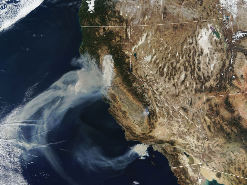
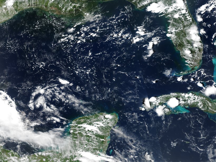
Satellites provide global-scale data that are invaluable in efforts to understand, monitor, and respond to wildfires and emissions, which are increasingly affecting climate and putting humans at risk.
Science Updates
Posted inScience Updates
Understanding High-Energy Physics in Earth’s Atmosphere
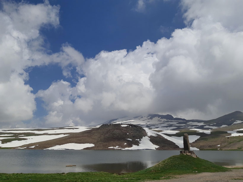
Thunderstorms present a variety of hazards, including emissions of ionizing radiation. An international group of scientists met at an Armenian observatory to share their findings.
Posted inScience Updates
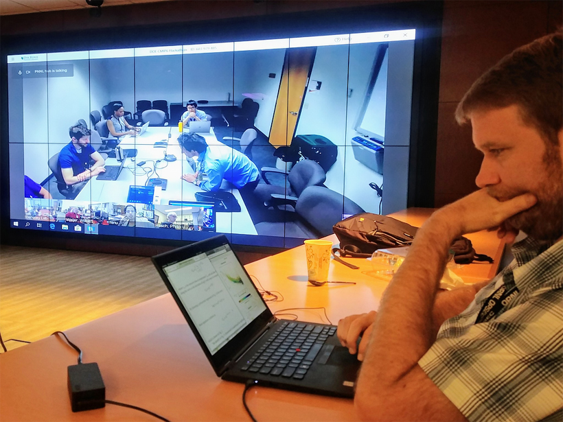
Hackathon Speeds Progress Toward Climate Model Collaboration
Climate scientists collaborated in a nationwide event to analyze and compare archived Earth system model simulations and to generate input for the IPCC’s upcoming climate change report.
Posted inScience Updates
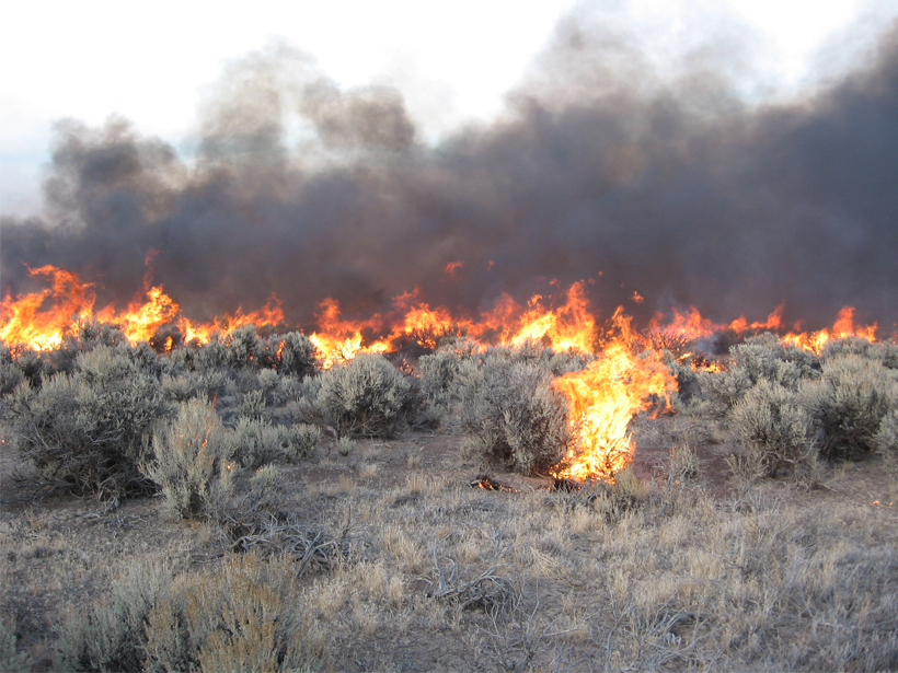
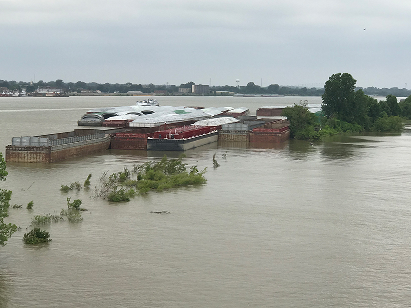
Rating Fire Danger from the Ground Up
Soil moisture information could improve assessments of wildfire probabilities and fuel conditions, resulting in better fire danger ratings.
Posted inScience Updates
Working Together to Close Climate Change Information Gaps
Scientists and managers on the ground gathered to identify information gaps that pose barriers to evaluating climate change risks and responses.
Posted inScience Updates
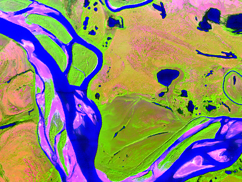
Filling the Gaps in Ocean Maps
A new software application merges ocean color data from instruments aboard two satellites to provide gap-free, near-real-time monitoring of the global ocean environment.
Posted inScience Updates
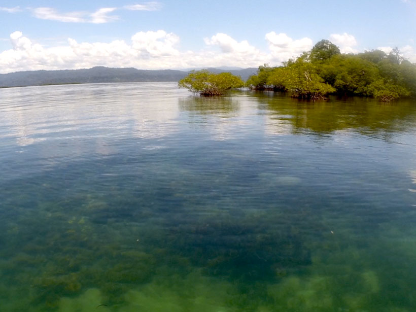
Integrating Global Seagrass and Mangrove Ecosystem Observations
Coordinating the Implementation of Mangrove and Seagrass Essential Observations: A joint GOOS/MBON community outreach workshop to implement EOV/EBVs (Sea Plants Workshop), Consortium for Ocean Leadership; Washington, D.C., 10–11 June 2019
Posted inScience Updates
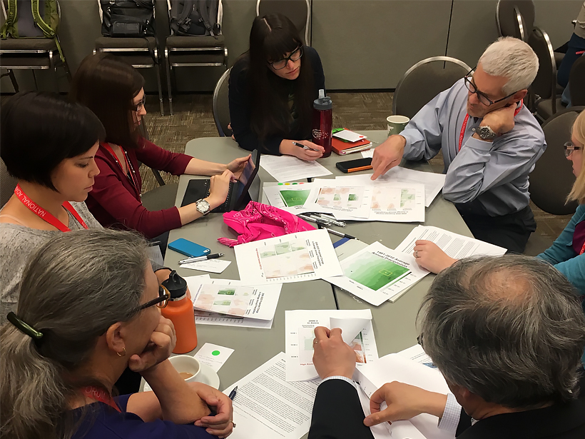
Making Sense of Local Climate Projections
Hands-on training, collaboration with scientists, and practice using real-world challenges give planners and decision-makers confidence to work with climate model information.
Posted inScience Updates
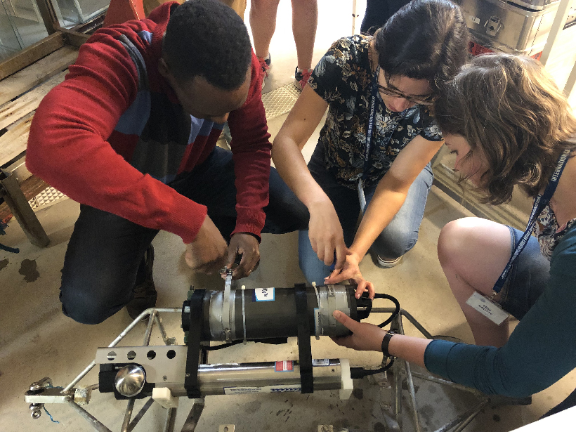
Training the Next Generation of Marine Biogeochemists
Early-career scientists came together recently to learn to use a suite of ocean biogeochemical sensors, with the goal of closing the knowledge gap between ocean technology and potential end users.
Posted inScience Updates
Watching Earth’s Interconnected Systems at Work
Surface Biology and Geology, a new NASA Earth observation effort, is developing a path forward for monitoring the Earth system from space.