
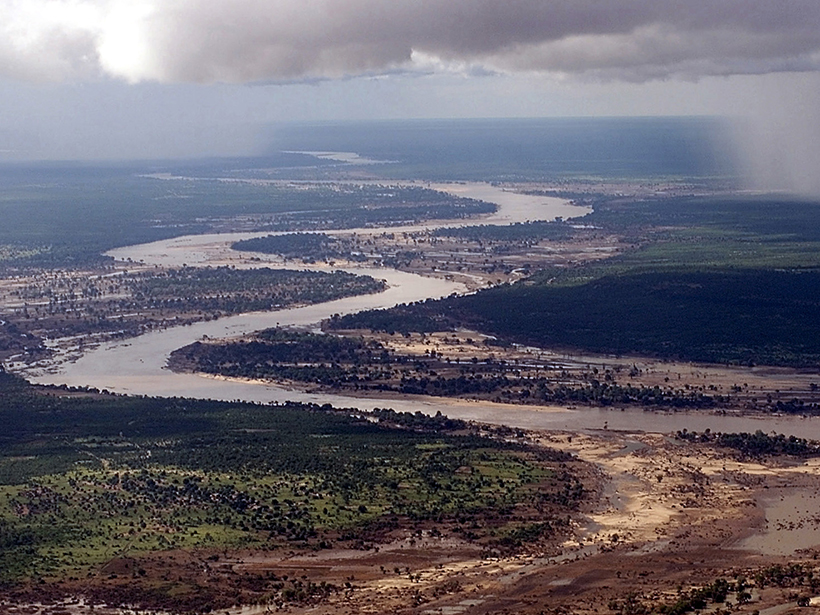
Geoprocesses, Geohazards—CSDMS 2018: A CSDMS hosted Workshop; Boulder, Colorado, 22–24 May 2018
Science Updates

Posted inScience Updates
Lightning: A New Essential Climate Variable
Lightning is a symptom and a cause of climate change. A recently established task team is working to make lightning data available and useful for climate science and service applications.
Posted inScience Updates
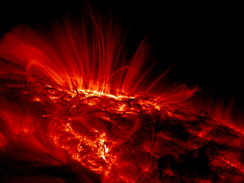
Better Data for Modeling the Sun’s Influence on Climate
Several international initiatives are working to stitch together data describing solar forcing of Earth’s climate. Their objective is to improve understanding of climate response to solar variability.
Posted inScience Updates
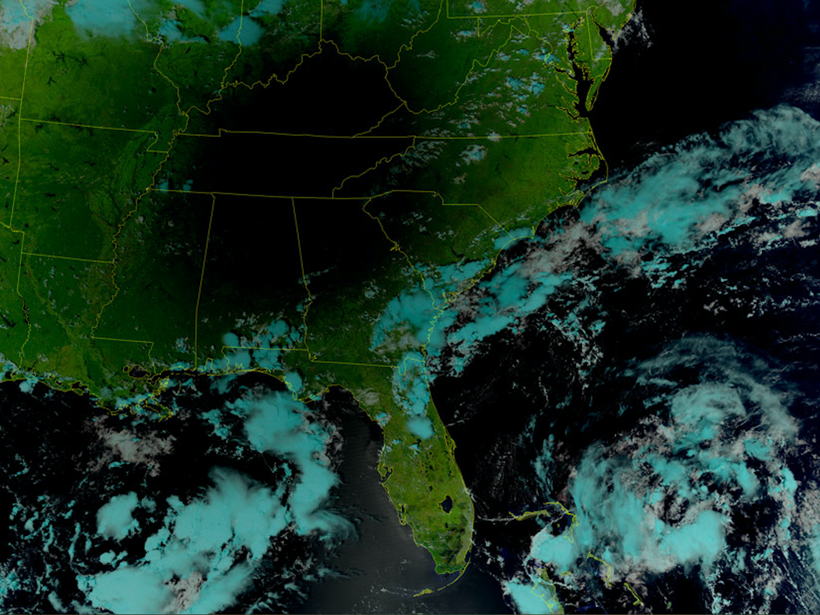
Scientists Meet to Review Preparations for Satellite Launch
Center for Satellite Applications and Research JPSS 2017 Annual Science Team Meeting; College Park, Maryland, 14–18 August 2017

Posted inScience Updates
How Landslides Become Disasters
A new modeling platform, tested on two recent natural disasters, simulates conditions that dump landslide debris into rain-swollen rivers, often causing more damage than the landslides themselves.
Posted inScience Updates
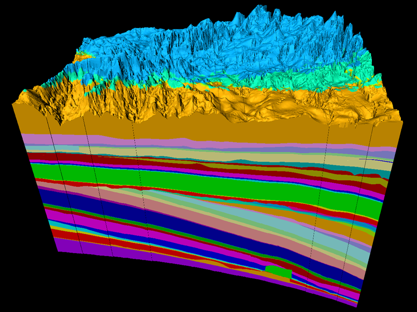
Geology in 3-D and the Evolving Future of Earth Science
Geologic Mapping Forum; Minneapolis, Minnesota, 26–29 March 2018
Posted inScience Updates
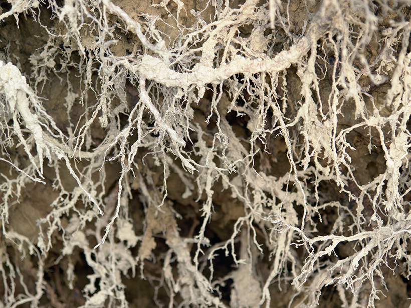
Better Plant Data at the Root of Ecosystem Models
Version 2 of the Fine-Root Ecology Database is bigger, better, and free to download and use.

Posted inScience Updates
Great American Eclipse Data May Fine-Tune Weather Forecasts
Measurements taken by an automated national meteorological monitoring network during the 2017 total solar eclipse illuminate how the land and atmosphere respond to a sudden loss of sunlight.

Posted inScience Updates
How Much Land Surface Is Under Water at Any Given Time?
NASA Workshop on Remote Sensing of Inundation Extent; Boulder, Colorado, 21–22 May 2018
Posted inScience Updates
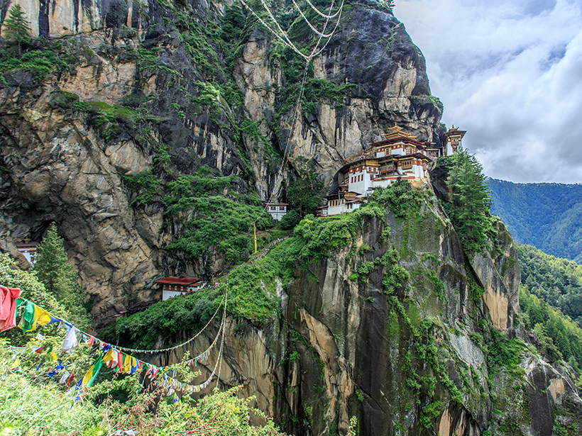
Bhutan Earthquake Opens Doors to Geophysical Studies
A multinational research team discovered an underestimated earthquake hazard during their 7-year exploration of the unique geodynamics of the eastern Himalayas in Bhutan.