
International Workshop on Airborne Geodesy and Geophysics with Focus on Polar Applications; Dresden, Germany, 19–21 April 2017
Science Updates

Posted inScience Updates
Tackling Chaos and Nonlinearity with Order and Straight Talk
The Nonlinear Wave and Chaos Workshop 2017 (NWCW17); San Diego, California, 20–24 March 2017

Posted inScience Updates
Drone Peers into Open Volcanic Vents
An unmanned aerial vehicle provided the high-resolution data that allowed scientists to construct their first detailed map of erupting vents at Stromboli, one of the world’s most active volcanoes.

Posted inScience Updates
A New Tool for Deep-Down Data Mining
GeoDeepDive combines library science, computer science, and geoscience to dive into repositories of published text, tables, and figures and return valuable information.
Posted inScience Updates
Stable Isotopes in Paleoclimate Reanalysis
Second Annual Workshop of the Last Millennium Reanalysis Project; Friday Harbor, Washington, 25–26 October 2016
Posted inScience Updates
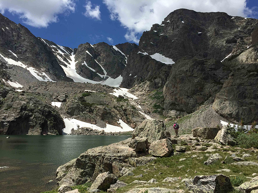
Understanding Mountain Lakes in a Changing World
Mountain Lakes and Global Change Workshop; Fort Collins, Colorado, 6–8 March 2017
Posted inScience Updates
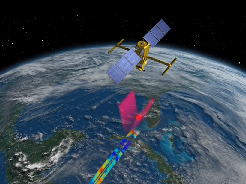
Putting Satellite Maps of Surface Water to Practical Use
2nd SWOT Application User Workshop: Engaging the User Community for Advancing Societal Applications of the Surface Water Ocean Topography (SWOT) Mission, Reston, Virginia, 5–6 April 2017
Posted inScience Updates
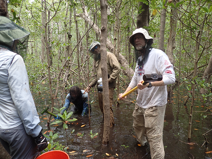
Turning up the Heat on Organic Matter to Track Carbon
Inaugural Workshop on Thermal Analysis of Natural Organic Matter; Woods Hole, Massachusetts, 15–16 September 2016
Posted inScience Updates
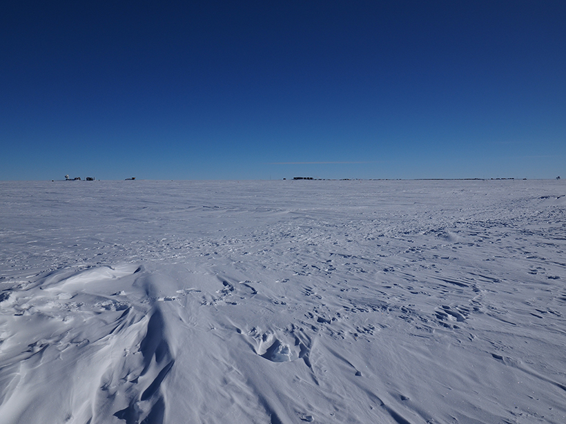
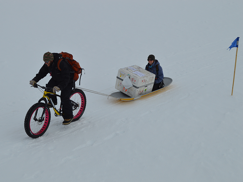
Envisioning and Sustaining Science at Summit Station, Greenland
Summit Station Science Summit; Arlington, Virginia, 28–29 March 2017
Posted inScience Updates
Strengthening the Observational Basis for Carbon Science, Policy
Sustained Observations for Carbon Cycle Science and Decision Support Workshop; Boulder, Colorado, 13–14 April 2016