ROBEX Sensor Workshop; Vienna, Austria, 27 April 2017
Science Updates
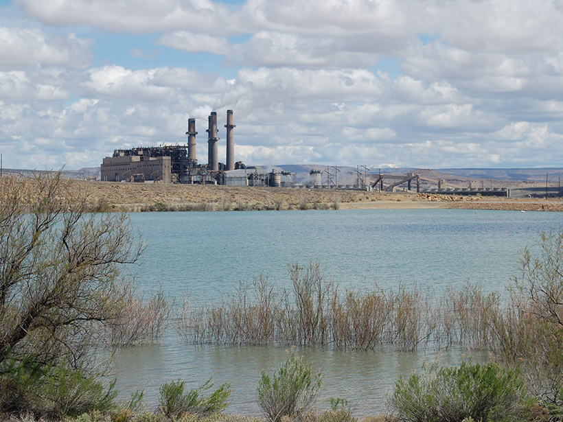
New Online Tool Teaches Students About the Energy-Water Nexus
Students use real data sets to explore how population changes, power generation, and water-saving strategies affect surface and groundwater use.
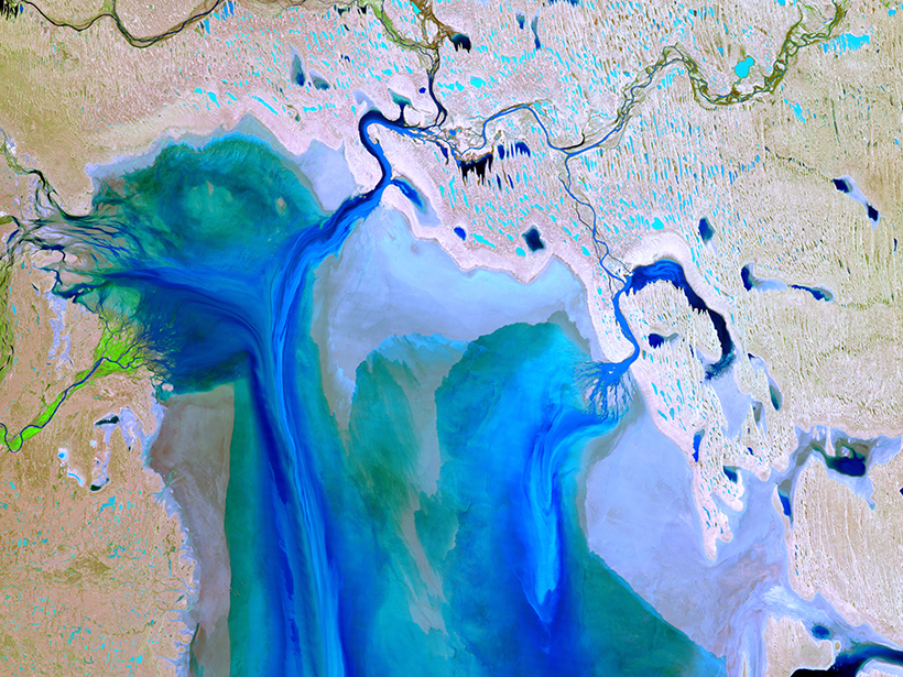
Observing Life near the Ocean’s Surface with Satellites
Third International Ocean Colour Science (IOCS) Meeting; Lisbon, Portugal, 15–19 May 2017
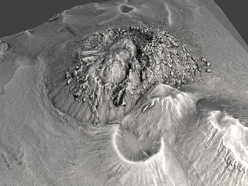
New Frontiers and Technologies in Submarine Volcanism Research
AGU Chapman Conference on Submarine Volcanism: New Approaches and Research Frontier; Hobart, Tasmania, Australia, 29 January to 3 February 2017
Understanding a Changing West Antarctic Peninsula
The 1st Workshop of the SOOS WAP Working Group; Cambridge, United Kingdom, 15–16 May 2017
In Icy Waters: The Future of Marine Biogeochemical Research off the West Antarctic Peninsula; Chicheley, United Kingdom, 17–18 May 2017
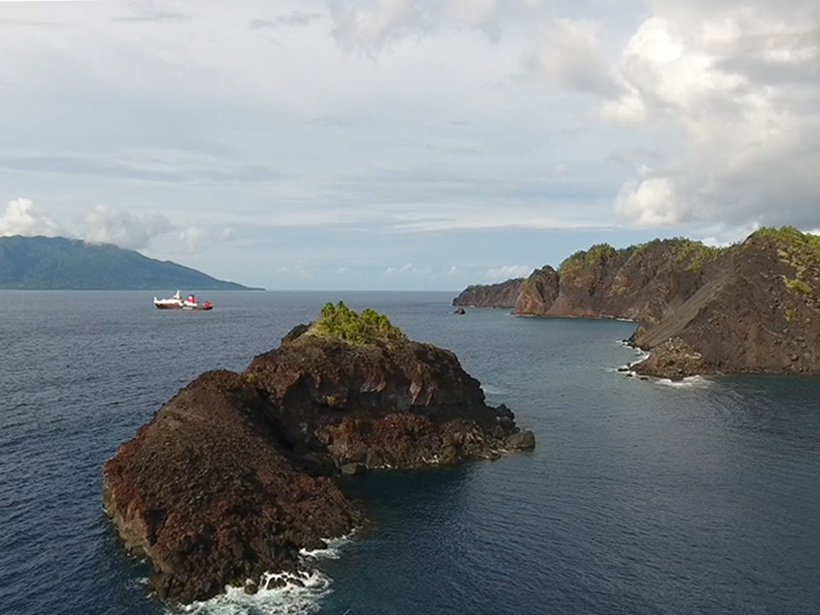
An 1888 Volcanic Collapse Becomes a Benchmark for Tsunami Models
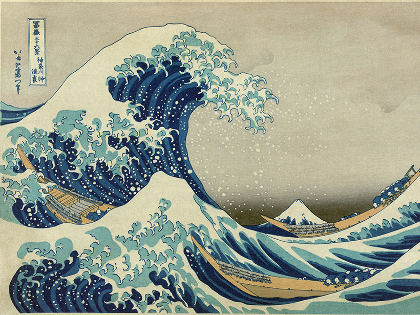
When volcanic mountains slide into the sea, they trigger tsunamis. How big are these waves, and how far away can they do damage? Ritter Island provides some answers.
Early-Career Scientists Discuss Paleoscience, Future Challenges
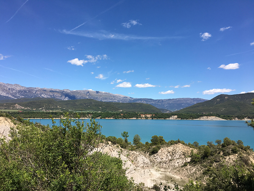
3rd PAGES Young Scientists Meeting; Morillo de Tou, Spain, 7–9 May 2017
Airborne Platforms Help Answer Questions in Polar Geosciences
International Workshop on Airborne Geodesy and Geophysics with Focus on Polar Applications; Dresden, Germany, 19–21 April 2017
Tackling Chaos and Nonlinearity with Order and Straight Talk
The Nonlinear Wave and Chaos Workshop 2017 (NWCW17); San Diego, California, 20–24 March 2017
Drone Peers into Open Volcanic Vents
An unmanned aerial vehicle provided the high-resolution data that allowed scientists to construct their first detailed map of erupting vents at Stromboli, one of the world’s most active volcanoes.


