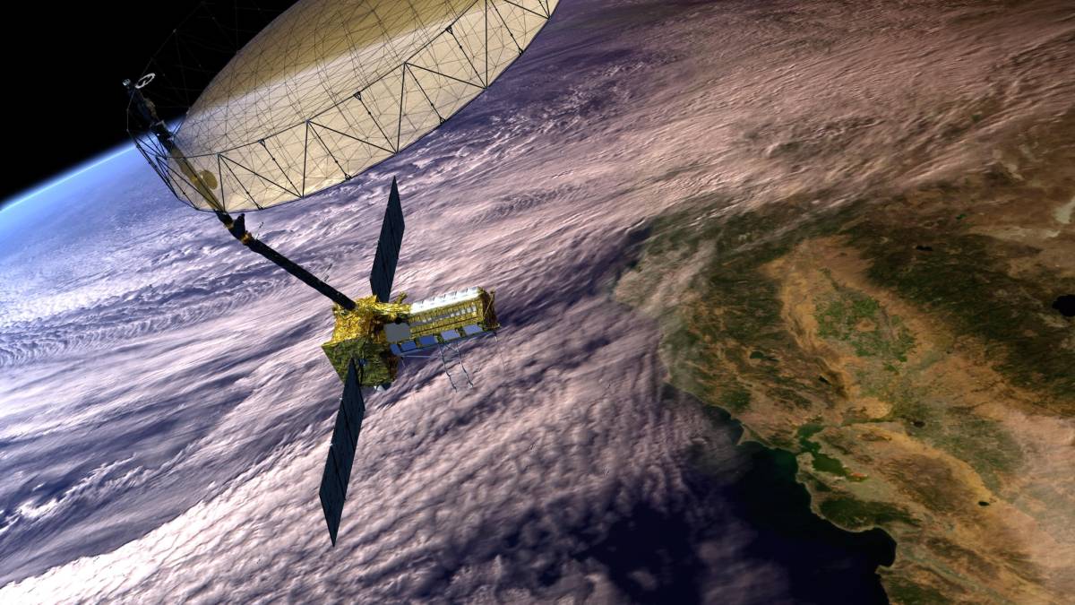
The mission, jointly operated by the United States and India, will measure minute changes to land, ice, and ecosystems around the globe.
remote sensing
Posted inScience Updates
A Diverse New Generation of Scientists Observes Earth from Above
Project-based learning and a modular class design help students from various backgrounds and universities gain hands-on experience with environmental remote sensing.

Posted inResearch Spotlights
Los lagos y estanques de Alaska revelan los efectos del derretimiento del permafrost
Un nuevo conjunto de datos proporciona un método poderoso para rastrear fácilmente los cambios en el permafrost.
Posted inResearch Spotlights
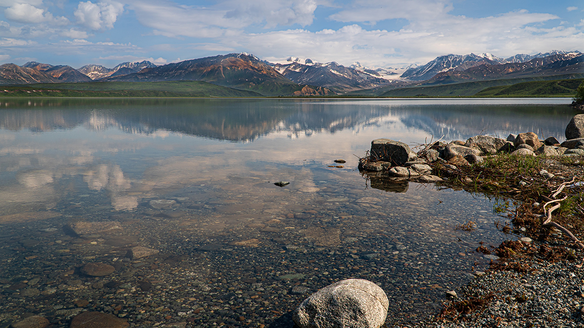
Alaska’s Lakes and Ponds Reveal Effects of Permafrost Thaw
A new dataset provides a powerful method for easily tracking changes in permafrost.
Posted inEditors' Highlights
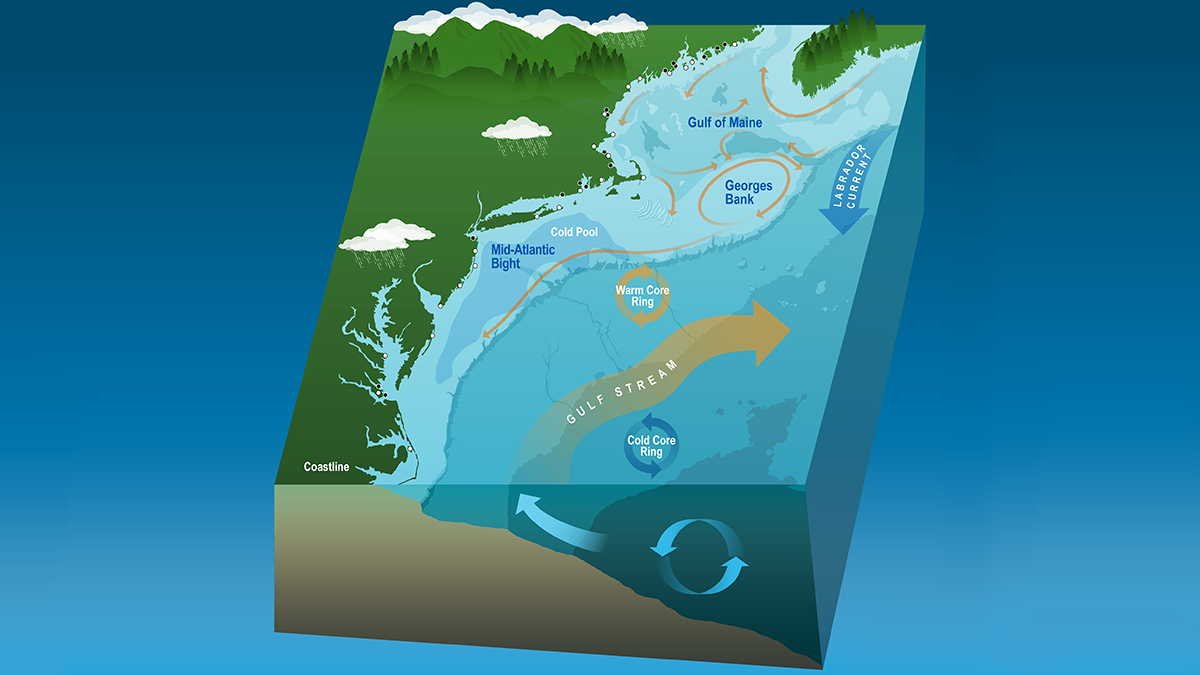
Coastal Dynamics Revealed by Satellite Salinity Data
One decade of high-quality satellite salinity observations provide valuable insights into the complex dynamics in the Mid-Atlantic Bight.

Posted inScience Updates
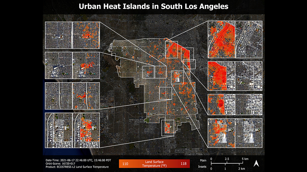
Sensing Potential, Scientists Refine Thermal Imaging of Ecosystems
At a recent “bake-off,” researchers judged thermal infrared cameras and developed guidelines for their consistent use in studying vegetation temperatures, which illuminate vital ecosystem processes.
Posted inNews
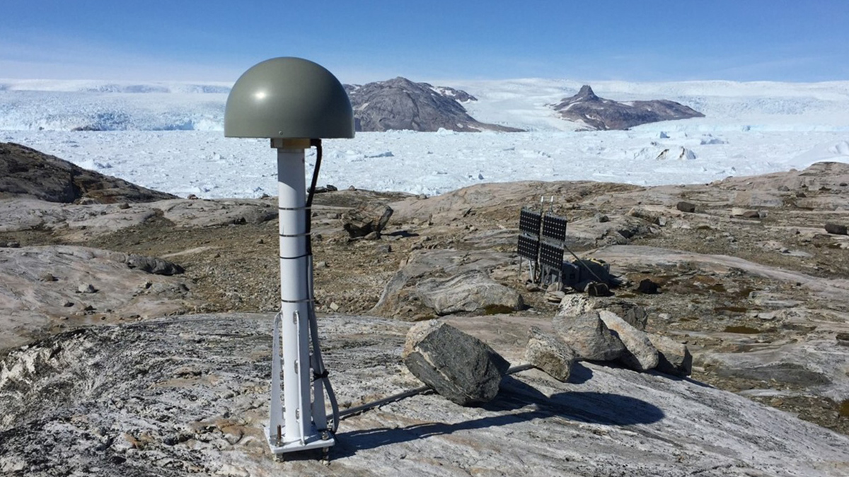
Greenland Ice Sheet Stores Hidden Water Throughout the Melt Season
A new method uses stations around Greenland’s coast to measure how much meltwater weighs down the bedrock beneath the ice, improving our understanding of its contribution to sea level rise.
Posted inNews
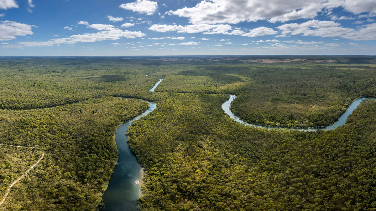
New Rules for Catastrophic River Avulsion
Scientists thought two factors influencing river avulsion were unrelated, but new research suggests they may be working in tandem. The findings could help predict new river pathways and improve disaster preparedness.
Posted inNews
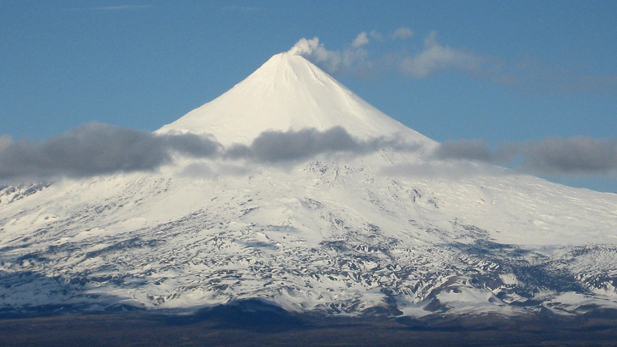
Glaciers near Active Volcanoes Flow Faster
Monitoring glacier velocity could help predict volcanic activity, a study of more than 210,000 glaciers suggests.

Posted inFeatures
O Legado Rico em Nutrientes nas Terras Pretas da Amazônia
Os solos férteis de terra preta foram criados através de séculos de uso da terra cuidadosamente administrado. Os cientistas estão colhendo referências desses solos para remover o carbono e melhorar o solo para a agricultura.