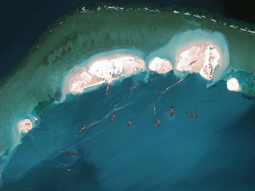
Quantifying the impacts of dredging through satellite remote sensing could serve as a valuable resource in future geopolitical disputes over contested waters.
remote sensing
Posted inResearch Spotlights
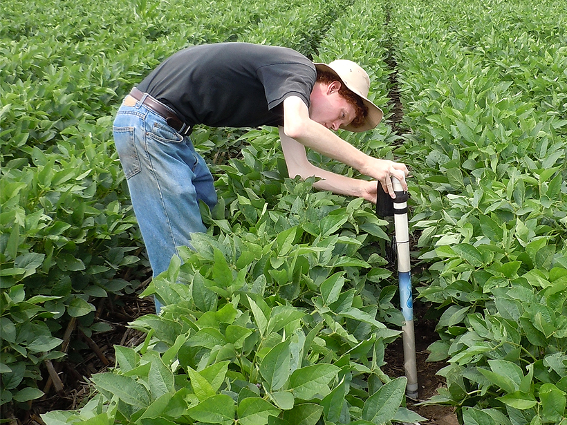
Are Soil Moisture and Latent Heat Overcoupled in Land Models?
A novel statistical approach demonstrates how to reduce bias in remote sensing estimates of soil moisture and latent heat flux coupling strength and clarifies the relationship between the variables.
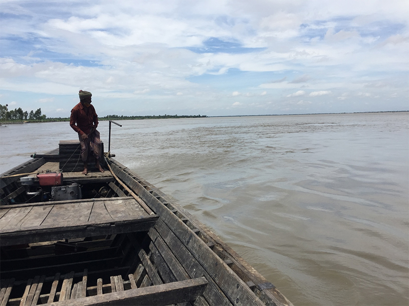
Posted inResearch Spotlights
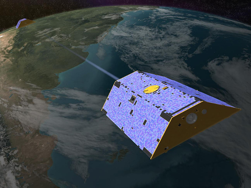
Improving Water Resources Management with Satellite Data
An extensive review reveals that remote sensing is changing the way we manage water resources and suggests that the coming years will bring both exciting advancements and new challenges.

Posted inResearch Spotlights
The Thermosphere Responds to a Weaker Than Normal Solar Cycle
Infrared emissions from nitric oxide and carbon dioxide in Earth’s upper atmosphere, which are closely tied to incoming solar radiation, are drastically lower than in the previous solar cycle.

Posted inEditors' Highlights
Improving Retrievals for Vertically Inhomogeneous Warm Clouds
Cloud droplet size changes with height, but passive sensors are virtually blind to see it; however, combining passive with active sensors helps profile it in vertically inhomogeneous warm clouds.

Posted inEditors' Highlights
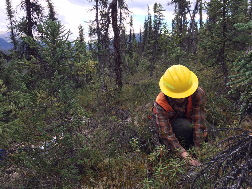
A Step Closer to Quantifying Global Photosynthesis in Real Time
High spatial and temporal resolutions of a data set on a proxy for plant photosynthesis, as well as contiguous global coverage, have great utility for a variety of applications.
Posted inNews
New Budget Bill Rescues NASA’s Carbon Monitoring System
“We’re back!” says $10-million-per-year project’s science team leader.

Posted inResearch Spotlights
Observing Volcanoes from Space
The first multidecadal, satellite-based study of Latin America’s most active volcanoes could help researchers better predict eruptions.

Posted inResearch Spotlights
Humming Ice Shelf Changes Its Seismic Tune with the Weather
Seismic waves resonating within the upper layers of the Ross ice shelf could help scientists monitor the Antarctic melt season and understand factors that could lead to sudden ice shelf collapse.
Posted inScience Updates
When Floods Cross Borders, Satellite Data Can Help
With so many eyes in the sky, residents living downstream from dams now have many ways to see—and prepare for—potential dangers.