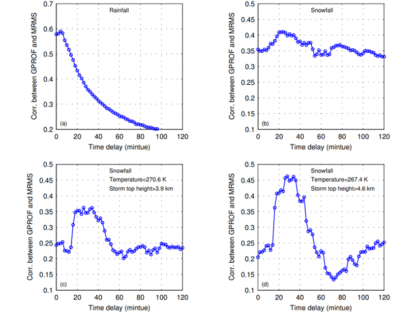
When calibrating satellite observations with ground-based ones, estimated precipitation rates are improved by considering that snow takes longer to fall compared to rain.
remote sensing
Posted inNews
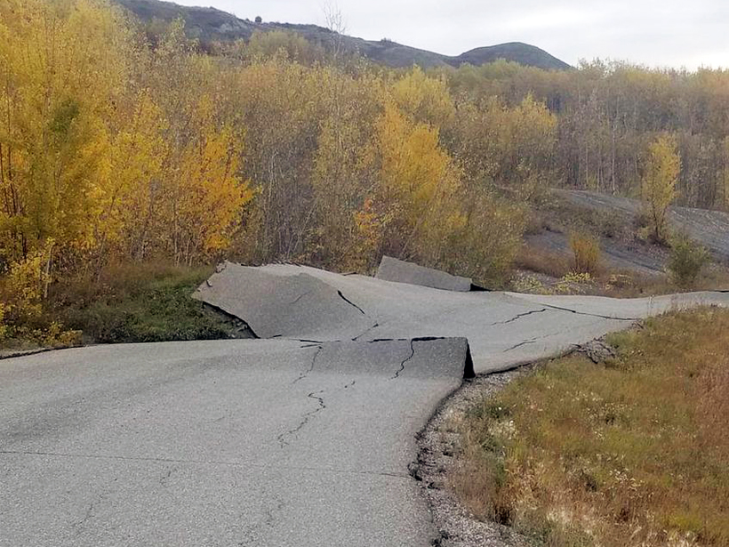
Rainfall Kick-Starts Slow-Moving Landslides
A census of hundreds of slow-moving landslides in Northern California reveals an uptick in the number and speed of landslides in 2017, the second-wettest year on record.

Posted inScience Updates
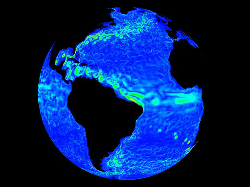
Satellite Oceanography Data Producers and Users Connect
First International Operational Satellite Oceanography Symposium; College Park, Maryland, 18–20 June 2019

Posted inResearch Spotlights
Capturing Snowmelt Patterns from Cloudy Satellite Images
A new modeling strategy could improve streamflow predictions in places where mountain snow is a critical source of water.
Posted inOpinions
Artificial Intelligence May Be Key to Better Weather Forecasts
Recent advances in machine learning hold great potential for converting a deluge of data into weather forecasts that are fast, accurate, and detailed.
Posted inResearch Spotlights
A Better Way to Measure Cloud Composition
An enhanced satellite remote sensing suite accurately measures ice particles, temperature, and water vapor.

Posted inNews
Satellite Data Reveal Growth and Decline of Sargassum
High nutrient levels in 2018 resulted in a nearly 9,000-kilometer belt of Sargassum, a seaweed critical to many marine animals but also a nuisance when it washes up on shorelines, new results reveal.
Posted inNews
What’s the True Shape of An Ocean Eddy?
Ocean eddies spin round and round, but not in a perfect circle.
Posted inEditors' Vox
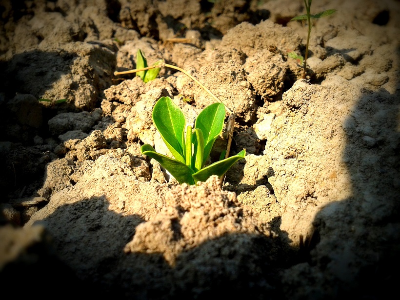
The Paramount Societal Impact of Soil Moisture
Recent technological innovations offer new opportunities for soil moisture characterization and monitoring from the pedon to global scales.
Posted inEditors' Highlights
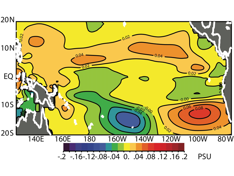
Salinity from Space Improves El Niño Forecasts
Assimilating satellite observations of ocean surface salinity significantly improves coupled model forecasts of El Niño.