Year-round observations show gravity waves above Antarctica exhibit seasonal patterns that peak in winter, which could help researchers trace the source of this mysterious phenomenon.
remote sensing
Posted inFeatures
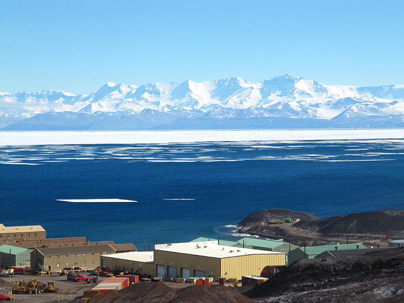
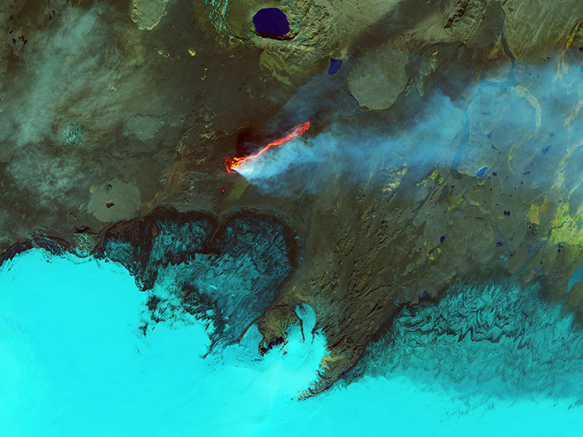
Earth’s Devastating Power, Seen by Satellite
Hurricanes, volcanoes, droughts, floods, fires, tsunamis: Satellites capture some of Earth’s most destructive forces.

Posted inResearch Spotlights
New Analysis Provides a Fresh View of the Atmosphere on Venus
Researchers apply a radio holographic method to standard Venusian atmospheric data, resulting in outputs with finer vertical resolution and revealing small-scale atmospheric structures.
Posted inNews
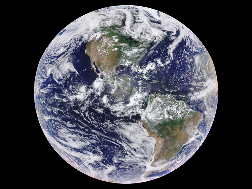
One-Pixel Views of Earth Reveal Seasonal Changes
By averaging satellite images of the Earth down to a single pixel, researchers trace how the planet’s mean color varies over time, results that inform observations of distant exoplanets.
Posted inResearch Spotlights
Evaluating the Efficiency of Data Assimilation
Information is lost when researchers combine statistical models and remote sensing data, but just how much is often unclear. A new study offers a framework to measure the inefficiency.

Posted inScience Updates
Remote Sensing Leads to Better Understanding of Polar Regions
Fifteenth International Circumpolar Remote Sensing Symposium; Potsdam, Germany, 10–14 September 2018
Posted inEditors' Highlights
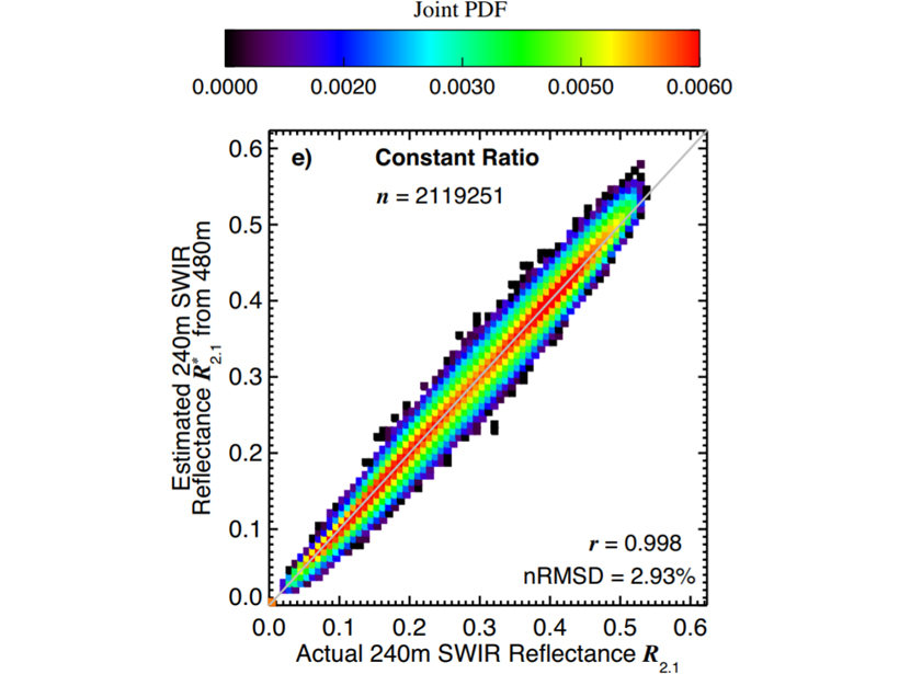
Improving Retrievals for Partially Cloudy Pixels
Cloud retrievals for partly cloudy pixels might be able to be improved by using high-resolution samples in a visible to near-infrared band, which many satellite sensors offer.

Posted inResearch Spotlights
Satellite Observations Validate Stratosphere Temperature Models
Since the 1970s, the stratosphere has cooled as ozone levels dropped and carbon dioxide levels increased. Chemical models of the temperature decline conflicted with satellite observations—until now.

Posted inNews
Enormous Impact Crater Spotted in Greenland Under Glacial Ice
Ice-penetrating radar revealed a 31-kilometer impact crater—one of the world’s largest—in northwestern Greenland that might have been formed fewer than 20,000 years ago.
Posted inScience Updates
Satellite Observations of Ocean Surface Winds and Currents
Florida State University workshop on Satellite Observations of Ocean Surface Winds & Currents; La Jolla, California, 18–19 May 2018