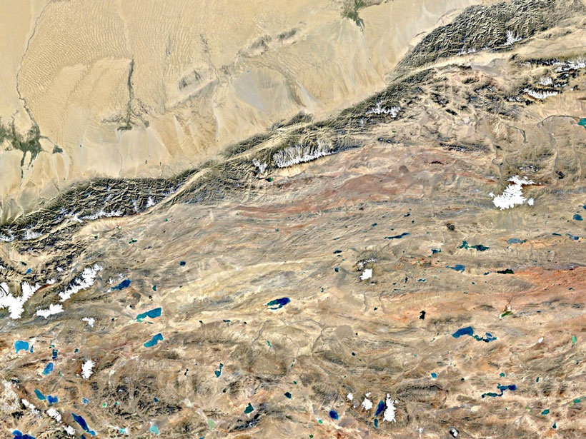
A new surface velocity map shows strain localized along major strike-slip features, suggesting the central Tibetan Plateau is not deforming as a fluid in response to gravitational collapse.
remote sensing

Posted inNews
Satellite Data Archives Reveal Unrecorded Himalayan Floods
Almost 30 years’ worth of Landsat observations created a comprehensive inventory of catastrophic floods caused by glacial lakes bursting through their rock dams.
Posted inEditors' Highlights
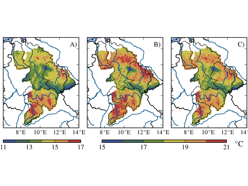
Calibrating Hydrological Models by Satellite
Hydrological models are usually calibrated using observations of streamflow, but a new method uses remotely sensed land surface temperature for this purpose.

Posted inScience Updates
Interactive Online Maps Make Satellite Ocean Data Accessible
A new online resource from the National Oceanic and Atmospheric Administration provides an interactive view of global satellite ocean color and true-color imagery.
Posted inScience Updates
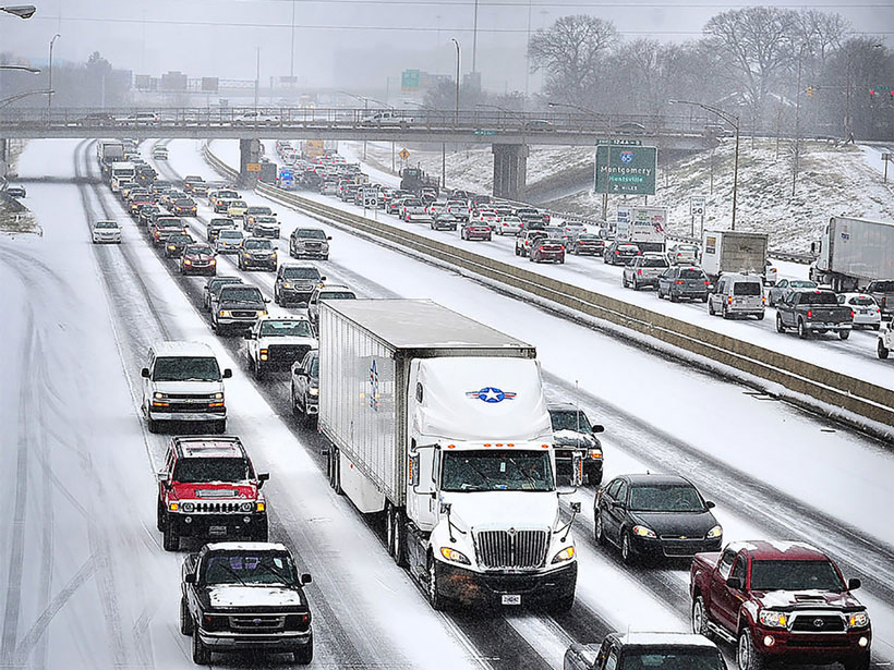
Snowfall Rates from Satellite Data Help Weather Forecasters
A new data product calculates snowfall rates from weather data beamed directly from several satellites, helping meteorologists provide fast, accurate weather reports and forecasts.

Posted inResearch Spotlights
Peering Beneath the Powder: Using Radar to Understand Avalanches
High-resolution radar images from Switzerland’s experimental test site show that snow temperature is a key factor in classifying avalanche behavior.

Posted inScience Updates
Satellites and Cell Phones Form a Cholera Early-Warning System
A new initiative combines satellite data with ground observations to assess and predict the risk of cholera outbreaks in Bangladesh’s vulnerable populations.
Posted inEditors' Highlights
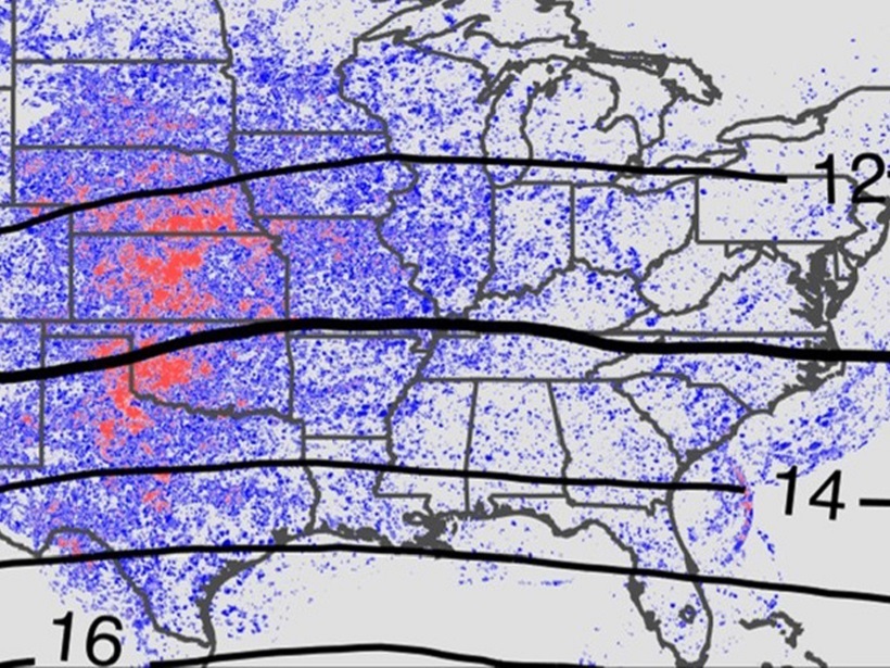
Continental Convection Reaches New Highs
Ten years of high-resolution gridded NEXRAD radar data provide a new data set to quantify tropopause-overshooting convection over the continental United States.

Posted inScience Updates
Toward a Satellite-Based Monitoring System for Water Quality
Water Quality Workshop for End Users; Greenbelt, Maryland, 27 September 2017

Posted inResearch Spotlights
Measuring Hurricane Wind Speed from Space
A new technique based on GPS signals could provide better wind speed measurements during hurricanes and cyclones.