• About
  • Special Reports
  • Topics
    • Climate
    • Earth Science
    • Oceans
    • Space & Planets
    • Health & Ecosystems
    • Culture & Policy
    • Education & Careers
    • Opinions
  • Projects
    • Postcards From the Field
    • ENGAGE
    • Editors’ Highlights
    • Editors’ Vox
    • Eos en Español
    • Eos 简体中文版
    • Print Archive: 2015–2025
  • Policy Tracker
  • Blogs
    • Research & Developments
    • The Landslide Blog
  • Newsletter
  • Submit to Eos
  • AGU.org
  • Career Center
  • Join AGU
  • Give to AGU
  • About
  • Special Reports
  • Topics
    • Climate
    • Earth Science
    • Oceans
    • Space & Planets
    • Health & Ecosystems
    • Culture & Policy
    • Education & Careers
    • Opinions
  • Projects
    • Postcards From the Field
    • ENGAGE
    • Editors’ Highlights
    • Editors’ Vox
    • Eos en Español
    • Eos 简体中文版
    • Print Archive: 2015–2025
  • Policy Tracker
  • Blogs
    • Research & Developments
    • The Landslide Blog
  • Newsletter
  • Submit to Eos
Skip to content
  • AGU.org
  • Career Center
  • Join AGU
  • Give to AGU
Eos

Eos

Science News by AGU

Support Eos
Sign Up for Newsletter
  • About
  • Special Reports
  • Topics
    • Climate
    • Earth Science
    • Oceans
    • Space & Planets
    • Health & Ecosystems
    • Culture & Policy
    • Education & Careers
    • Opinions
  • Projects
    • Postcards From the Field
    • ENGAGE
    • Editors’ Highlights
    • Editors’ Vox
    • Eos en Español
    • Eos 简体中文版
    • Print Archive: 2015–2025
  • Policy Tracker
  • Blogs
    • Research & Developments
    • The Landslide Blog
  • Newsletter
  • Submit to Eos

Bayesian analyses

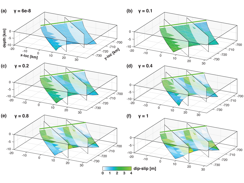
Series of six figures showing recovered fault geometry and slip models, from early to late stages in the inversion procedure.
Posted inEditors' Highlights

New Inversion Method Improves Earthquake Source Imaging

by Cécile Lasserre 30 August 202115 September 2026

A new method uses Bayesian inference to jointly invert for non-planar fault geometry and spatially variable slip (with associated uncertainties) in earthquake source modeling, based on geodetic data.

The San Andreas Fault near Juniper Hills, Calif.
Posted inResearch Spotlights

A New Method Produces Improved Surface Strain Rate Maps

by Jack Lee 19 July 202115 September 2026

The transdimensional Bayesian approach handles GPS data limitations better than existing methods and may assist future seismic hazard assessment studies.
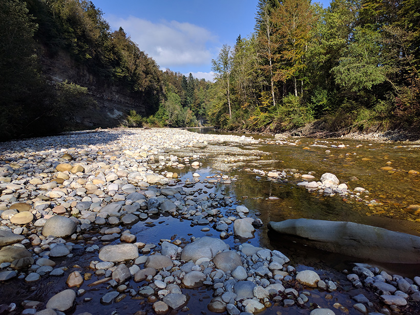
The Emme River in Switzerland
Posted inResearch Spotlights

Tracing Water from River to Aquifer

Aaron Sidder, freelance science writer by Aaron Sidder 20 April 202115 September 2026

A new technique using dissolved noble gas tracers sheds light on how water moves through an aquifer, with implications for water resources and their vulnerability to climate change.
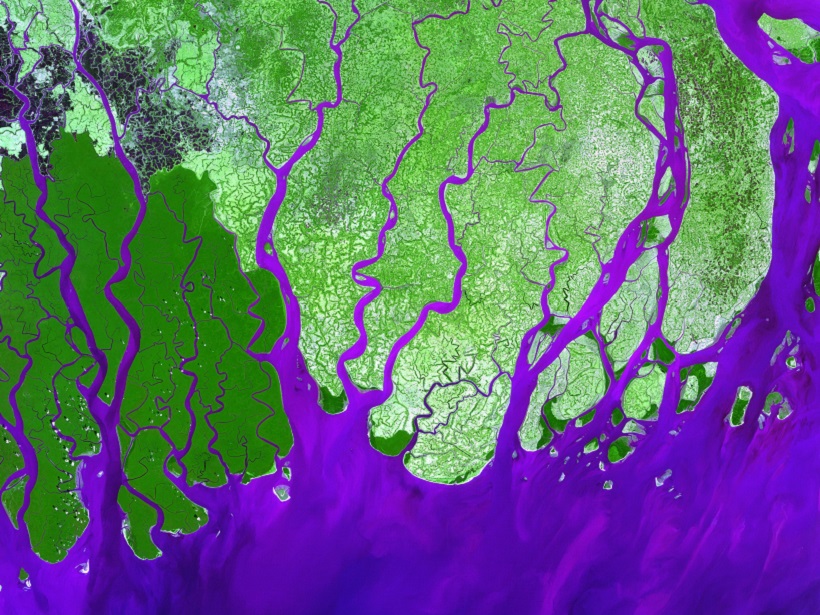
Quantifying Uncertainty in Subsurface Systems ISBN: 978-1-119-32586-4
Posted inEditors' Vox

Quantifying Uncertainty About Earth’s Resources

by J. K. Caers 6 June 201815 September 2026

A new book explores how uncertainty quantification can enable optimal decisions in the exploration, appraisal, and development of subsurface resources.
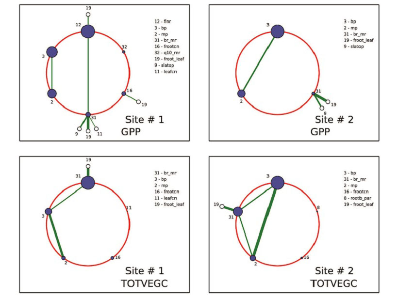
Posted inEditors' Highlights

A Powerful New Tool to Analyze and Calibrate Earth System Models

by P. A. Dirmeyer 6 March 201815 September 2026

Polynomial chaos and Bayesian compressive sensing are applied to a land surface model to understand how large numbers of tunable parameters interact and may be optimized.

Flooding in Vienna after an ice dam failed on the Danube River in March 1830, captured here in a watercolor painting by Eduard Gurk
Posted inResearch Spotlights

How Vague Historical Writings Help Scientists Predict Floods

Leah Crane by L. Crane 13 September 201615 September 2026

By including imprecise historical written records in their calculations, researchers were able to decrease uncertainty in estimations of future flood frequency.
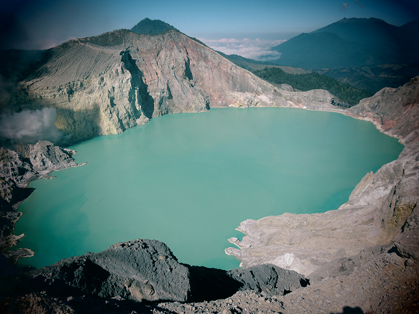
Sulfuric lake Kawah Ijen was used to study volcanic activity.
Posted inResearch Spotlights

A New Tool to Better Forecast Volcanic Unrest

Shannon Hall by S. Hall 8 July 201615 September 2026

In a retrospective study of volcanic unrest at Indonesia's Kawah Ijen, a new model was able to pick up on the rising probability of eruption 2 months before authorities were aware of the risk.

A December 2015 eruption of Mexico’s Colima volcano.
Posted inScience Updates

Enhancing Safety in a Volcano's Shadow

by J. Martí, S. Bartolini and L. Becerril 21 June 201615 September 2026

A new project gives civil authorities and scientists a common set of tools for assessing volcanic hazards and managing associated risks.

Posted inScience Updates

Better Forecasting for the Next Volcanic Eruption

by V. Acocella and G. Chiodini 12 November 201515 September 2026

The Eruptive Precursors project in Campi Flegrei, Italy, seeks to understand conditions leading to caldera eruptions.

Posts pagination

Newer posts 1 2
Over a dark blue-green square appear the words Special Report: The State of the Science 1 Year On.

Features from AGU Publications

Research Spotlights

How the 2024 Solar Superstorm Drained Earth’s Radiation Belt

14 September 202614 September 2026
Editors' Highlights

Extreme Equatorial Storms are Larger and More Persistent Under Warming

15 September 202614 September 2026
Editors' Vox

In Appreciation of AGU’s Outstanding Reviewers of 2025

14 September 202610 September 2026
Eos logo at left; AGU logo at right

About Eos
ENGAGE
Awards
Contact

Advertise
Submit
Career Center
Sitemap

© 2026 American Geophysical Union. All rights reserved Powered by Newspack