• About
  • Special Reports
  • Topics
    • Climate
    • Earth Science
    • Oceans
    • Space & Planets
    • Health & Ecosystems
    • Culture & Policy
    • Education & Careers
    • Opinions
  • Projects
    • Postcards From the Field
    • ENGAGE
    • Editors’ Highlights
    • Editors’ Vox
    • Eos en Español
    • Eos 简体中文版
    • Print Archive: 2015–2025
  • Policy Tracker
  • Blogs
    • Research & Developments
    • The Landslide Blog
  • Newsletter
  • Submit to Eos
  • AGU.org
  • Career Center
  • Join AGU
  • Give to AGU
  • About
  • Special Reports
  • Topics
    • Climate
    • Earth Science
    • Oceans
    • Space & Planets
    • Health & Ecosystems
    • Culture & Policy
    • Education & Careers
    • Opinions
  • Projects
    • Postcards From the Field
    • ENGAGE
    • Editors’ Highlights
    • Editors’ Vox
    • Eos en Español
    • Eos 简体中文版
    • Print Archive: 2015–2025
  • Policy Tracker
  • Blogs
    • Research & Developments
    • The Landslide Blog
  • Newsletter
  • Submit to Eos
Skip to content
  • AGU.org
  • Career Center
  • Join AGU
  • Give to AGU
Eos

Eos

Science News by AGU

Support Eos
Sign Up for Newsletter
  • About
  • Special Reports
  • Topics
    • Climate
    • Earth Science
    • Oceans
    • Space & Planets
    • Health & Ecosystems
    • Culture & Policy
    • Education & Careers
    • Opinions
  • Projects
    • Postcards From the Field
    • ENGAGE
    • Editors’ Highlights
    • Editors’ Vox
    • Eos en Español
    • Eos 简体中文版
    • Print Archive: 2015–2025
  • Policy Tracker
  • Blogs
    • Research & Developments
    • The Landslide Blog
  • Newsletter
  • Submit to Eos

Chicago

An underground train station for the Chicago “L” red line. A gray sign with an “L” indicates that it is the Lake station.
Posted inNews

City Dwellers Face Unequal Heat Exposure En Route to the Metro

by Pepper St. Clair 15 December 202515 December 2025

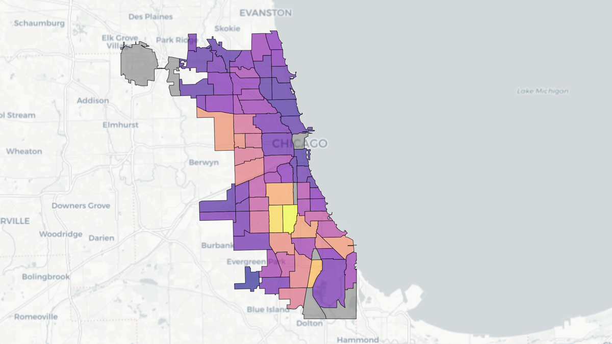
Socioeconomic factors drive how much extreme heat public transit users in Chicago, NYC, and Washington, D.C., experience as they walk to and from metro stations.

A map of Chicago shows a grid of different neighborhoods colored in shades ranging from yellow to purple.
Posted inResearch Spotlights

Chicago Soil Maps Childhood Lead Exposure Risk

by Rebecca Owen 15 October 202515 October 2025

Researchers combined soil measurements and public health data to identify areas where children may be exposed to unsafe levels of lead in the dirt.

Diagram from the study.
Posted inEditors' Highlights

Urban Greening Could Help Achieve Carbon Neutrality Goals

by Jiwen Fan 6 December 20235 December 2023

A new modeling framework highlights that urban greening is a sustainable solution to achieve environmental co-benefits in mitigating heat and carbon emissions.

A grayscale image of the Chicago Loop photographed from the 94th floor of the Hancock building.
Posted inNews

Underground Heat Could Be a Problem, or a Perk, for Chicago Buildings

Kimberly M. S. Cartier, News Writing and Production Intern for Eos.org by Kimberly M. S. Cartier 1 September 202311 September 2023

Heat released by old and inefficient Chicago buildings could, if harnessed, be an energy solution.

Two young people riding aboard a boat pick through mud with their hands in search of meteorites.
Posted inNews

Community Scientists Recover Micrometeorites from Lake Michigan

Katherine Kornei, Science Writer by Katherine Kornei 15 August 202224 March 2023

A team of scientists, educators, and teenagers discovered the objects, some of which may have been delivered by a fireball that streaked across the sky in 2017.

Una imagen del Frjiol (Cloud Gate) en el Parque Milenio en Chicago. Varias personas están en la imagen con atuendos veraniegos.
Posted inResearch Spotlights

Estimando la frecuencia e intensidad las olas de calor: Un caso de estudio en Chicago

by Saima May Sidik 20 April 202220 April 2022

Modelado numérico mostró los impactos extendidos de la ola de calor del 2012 en Chicago, clarificando los impactos de la ola de calor y la isla de calor urbana en la temperatura de la ciudad.

An image of the Bean (Cloud Gate) located in Millennium Park in Chicago
Posted inResearch Spotlights

Estimating Heat Wave Frequency and Strength: A Chicago Case Study

by Saima May Sidik 10 March 202220 April 2022

Numerical modeling shows widespread impacts of the 2012 Chicago heat wave, shedding light on heat wave and urban heat island impacts on the city’s temperature.

Historic 1902 map of Calumet Quadrangle near Chicago
Posted inNews

Chicago Wetlands Shrank by 40% During the 20th Century

Kimberly M. S. Cartier, News Writing and Production Intern for Eos.org by Kimberly M. S. Cartier 23 September 20202 March 2023

A team of graduate students measured wetland and biodiversity changes during the 100 years following the reversal of the Chicago River.

Many fish jumping in a river
Posted inNews

Is Chicago Water Pollution Halting a Silver Carp Invasion?

Kimberly M. S. Cartier, News Writing and Production Intern for Eos.org by Kimberly M. S. Cartier 12 September 201918 October 2021

Pollution is definitely not the solution to stopping invasive silver carp, researchers assert. But cleaner waters could affect the invasion front.

Over a dark blue-green square appear the words Special Report: The State of the Science 1 Year On.

Features from AGU Publications

Research Spotlights

Making a Map to Make a Difference

11 February 202611 February 2026
Editors' Highlights

Models Reveal Imprint of Tectonics and Climate on Alluvial Terraces

17 February 202617 February 2026
Editors' Vox

A Double-Edged Sword: The Global Oxychlorine Cycle on Mars

10 February 202610 February 2026
Eos logo at left; AGU logo at right

About Eos
ENGAGE
Awards
Contact

Advertise
Submit
Career Center
Sitemap

© 2026 American Geophysical Union. All rights reserved Powered by Newspack