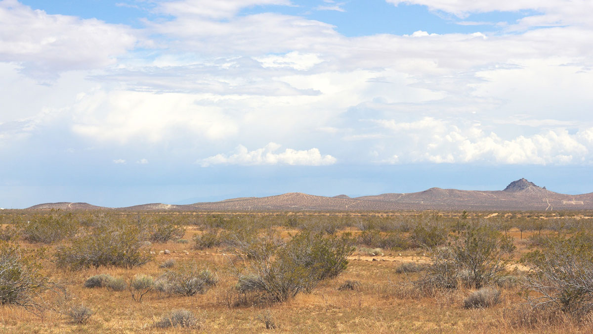
Scientists are using seismic techniques to measure soil moisture. Their results show that recent droughts in California depleted water in the shallow subsurface.
cool tools

Posted inFeatures
Sensing Remote Realms of the Deep Ocean on Earth—and Beyond
A novel laser-equipped probe is collecting measurements of deep-sea geochemical environments that once seemed impossible to gather, pointing the way toward future explorations of other ocean worlds.

Posted inNews
¿Qué tan líquida es esa lava?
Un nuevo dispositivo ayuda a los científicos a medir la viscosidad de la lava durante los derrames activos.

Posted inNews
U.S. Earthquake Early Warning System Gets a Major Upgrade
Satellite capabilities will improve the accuracy of ShakeAlert earthquake magnitude measurements.

Posted inScience Updates
A Mission to Uranus Requires a Community-Building Effort on Earth
Planning the first mission to Uranus since the 1980s offers an opportunity to build a diverse, interdisciplinary team that spans generations.

Posted inFeatures
The Past, Present, and Future of Extraterrestrial Sample Return
Retrieving samples from distant solar system bodies has revolutionized our understanding of the cosmos and our place in it.

Posted inENGAGE, News
How Liquid Is That Lava?
A new device helps scientists measure lava viscosity during active flows.

Posted inResearch Spotlights
Supersharp Images Reveal Scars of Major Eruption on Io
Jupiter’s volcanic moon is captured in exquisite detail by an instrument atop a mountain in Arizona.

Posted inScience Updates
Telecom Fibers Are Sensing Earthquake Hazards in Istanbul
A fiber-optic cable below Türkiye’s earthquake-prone metropolis is offering new details about how seismic waves will rattle the city—and demonstrating the potential of a bigger monitoring effort.
Posted inNews
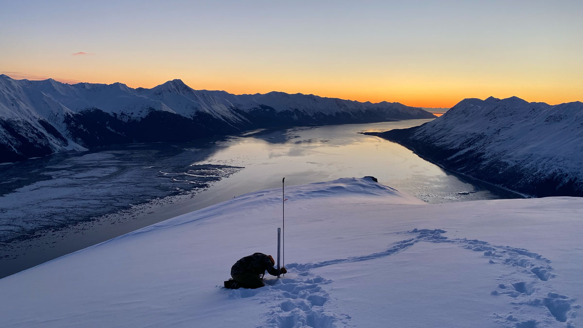
Changing Snowpack Inspires New Measurement
Climate change is bringing increased variability to annual snowfall, which affects how much water is stored for ecosystem and human use.