
A new initiative combines satellite data with ground observations to assess and predict the risk of cholera outbreaks in Bangladesh’s vulnerable populations.
disaster management

Posted inOpinions
Monitoring Coastal Zone Changes from Space
The resilience of coastal communities depends on an integrated, worldwide coastal monitoring effort. Satellite observations provide valuable data on global to local scales.
Posted inNews
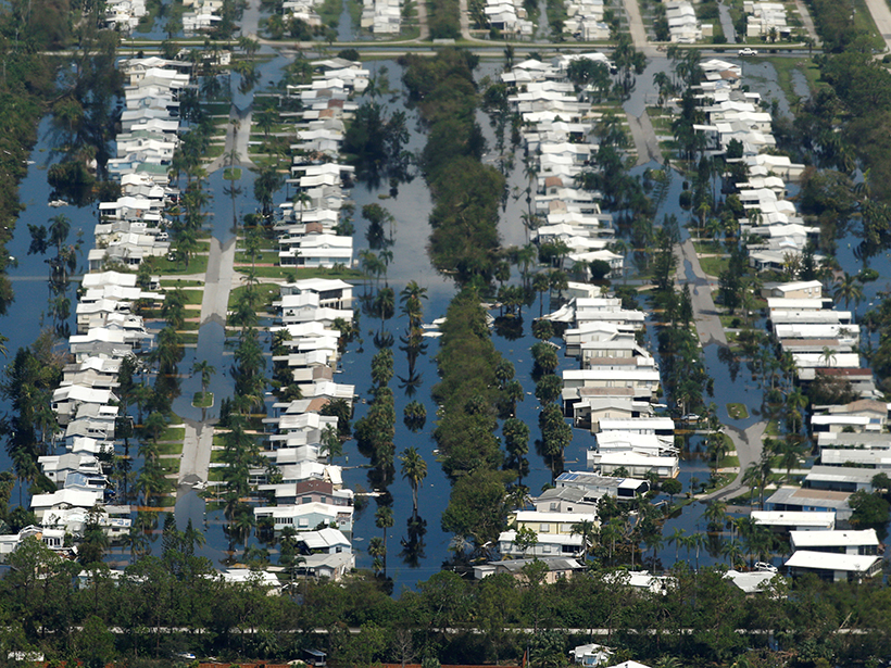
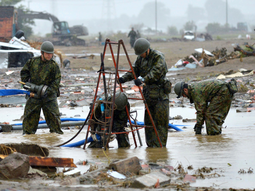
Past FEMA Head Urges Smarter Rebuilding After Natural Disasters
Craig Fugate says the United States has an opportunity to rebuild more resiliently if Congress doesn’t simply provide relief money but also requires rebuilding to higher standards.
Posted inResearch Spotlights
Deciphering Deluges
New modeling approach reexamines two key assumptions about flooding.
Posted inScience Updates
Cities Partner to Prepare for Natural Hazards and Climate Change
NASA-Rio-UCCRN Workshop on Sea Level Rise, Urban Heat Islands, and Water Quality; New York, 14–16 November 2016

Posted inNews
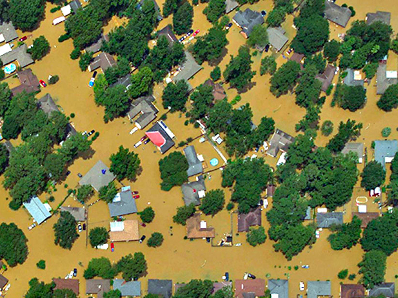
Algorithm Discerns Where Tweets Came from to Track Disasters
New pilot system that analyzed more than 35 million flood-related Twitter posts to determine their geographic origin might help first responders locate and react more quickly to calamities.
Posted inAGU News
Communities and Experts Collaborate for Climate Resilience
The Resilience Dialogues program provides resources and expertise to help communities build individualized plans for resilience in the face of climate change.

Posted inNews
Timothy A. Cohn (1957–2017)
Cohn emphasized the use of hydrologic science for the public good, to protect ordinary citizens from flood and pollution hazards and to reduce losses from natural disasters.
Posted inOpinions
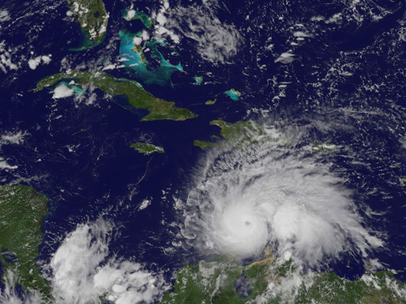
Climate Change’s Pulse Is in Central America and the Caribbean
Nations that border the Gulf of Mexico and Caribbean Sea are ideally placed for tracking the effects of global climate change and testing innovative ways to adapt to future changes.
Posted inNews
Can Data Extracted from Twitter Help Map Flood Hazards?
Tweets, if scrutinized closely, may allow scientists to map hazards in real time, helping to guide emergency response.